- Local time
- UTC+09:00
- Asia/Tokyo · UTC+09:00
- Airports
- SHB Nakashibetsu Airport66 km
- MMB Memanbetsu Airport83 km
About Kamuiwakka River
Kamuiwakka River is a river. Location: Hokkaido, Japan. The best months to visit are July–August. The nearest airport is Nakashibetsu Airport (66 km). Nearby sights include Mount Iō and Mount Chienbetsu.
Climate of Kamuiwakka River
Best months for sightseeingBest months for sightseeing: July–August.
This month · November
A cold month
Day 4° · Night -2° · Rain 91 mm
- Hottest month
- August (day 19°)
- Coldest month
- February (night -12°)
- Wettest month
- September (161 mm)
- Driest month
- February (49 mm)
Bars: average monthly low and high temperature. Below: precipitation. Monthly averages for 1970–2000 at about 18 km resolution, adjusted for elevation. Highlighted months are mild and relatively dry. Source: WorldClim 2.1 (CC BY 4.0).
Show values as a table
| Month | Jan | Feb | Mar | Apr | May | Jun | Jul | Aug | Sep | Oct | Nov | Dec |
|---|---|---|---|---|---|---|---|---|---|---|---|---|
| Average high (°C) | -6° | -6° | -3° | 4° | 9° | 13° | 17° | 19° | 16° | 11° | 4° | -2° |
| Average low (°C) | -11° | -12° | -8° | -2° | 3° | 7° | 12° | 14° | 11° | 5° | -2° | -8° |
| Precipitation (mm) | 67 | 49 | 77 | 79 | 95 | 84 | 98 | 127 | 161 | 124 | 91 | 62 |
How to get to Kamuiwakka River
The nearest airport is Nakashibetsu Airport (SHB), 66 km to the south as the crow flies. The nearest large city is Kitami, 106 km to the west.
Airports
- Nakashibetsu Airport (SHB) Nakashibetsu 66 kmsouth
- Memanbetsu Airport (MMB) Ōzora 83 kmwest
- Monbetsu Airport (MBE) Monbetsu 138 kmwest
Nearby large cities
- Kitami Population: 119.1K 106 kmwest
- Kushiro Population: 167.9K 145 kmsouthwest
- Obihiro Population: 166.5K 207 kmsouthwest
- Asahikawa Population: 333.5K 225 kmwest
- Ebetsu Population: 134K 311 kmwest
Straight-line distances; road distances are longer. Airport data: OurAirports.
Nearest towns and villages
Nearby attractions & nature
Everything nearby-
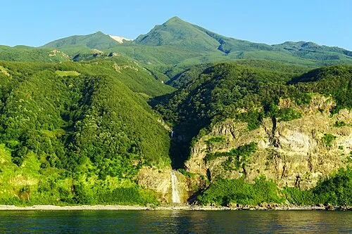 Mount Iō Mountain, Shari Chō4.3 km SE
-
Mount Chienbetsu Mountain, Shari Chō5.4 km SE
-
Mount Higashi Mountain, Shari Chō5.7 km SE
-
Mount Minami Mountain, Shari Chō6.1 km SE
-
Okkabake Dake Mountain, Rausu Chō6.5 km S
-
Mount Sashirui Mountain, Rausu Chō7.3 km S
-
Mount Rusha Mountain, Shari Chō7 km E
-
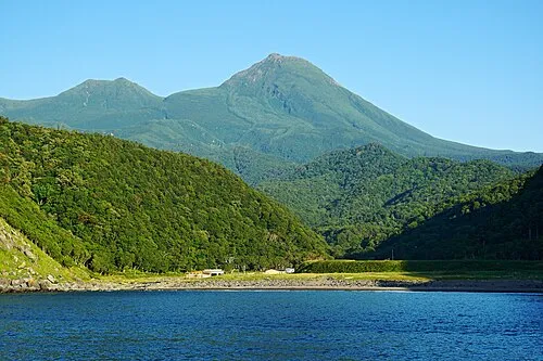 Rausu Dake Mountain, Rausu Chō9.3 km S
More lakes, rivers and coasts in Japan
-
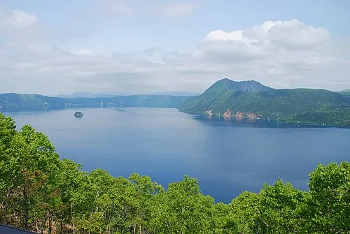 Lake Mashū Lake, Hokkaido79 km SW
-
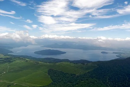 Kussharo Ko Lake, Hokkaido88 km SW
-
 Lake Notoro Lake, Hokkaido78 km W
-
 Akan Ko Lake, Hokkaido113 km SW
-
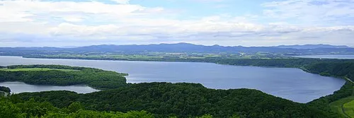 Lake Abashiri Lake, Hokkaido79 km W
-
Lake Tōfutsu Lake, Hokkaido63 km SW
Sources & licences
Data last updated: