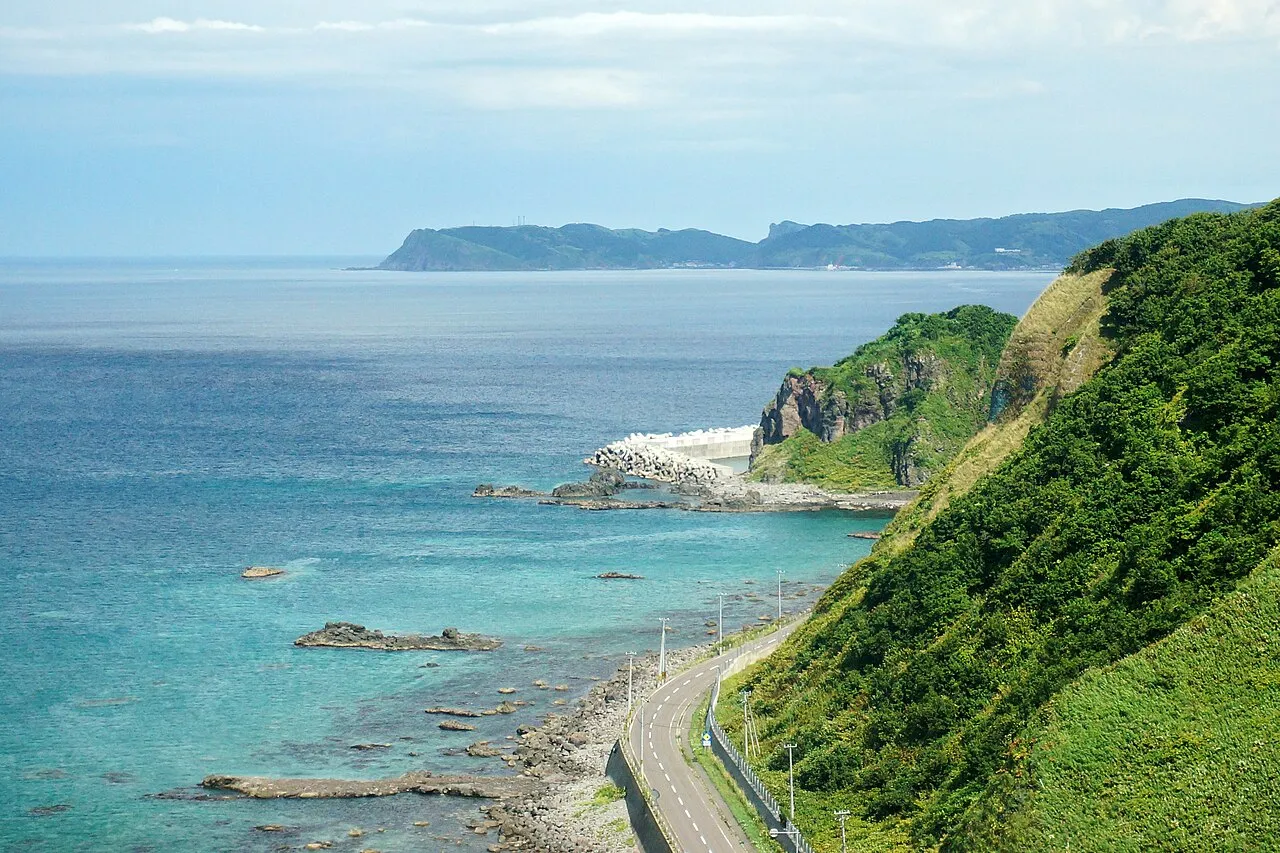
- Elevation
- 677 m
- above sea level
- Local time
- UTC+09:00
- Asia/Tokyo · UTC+09:00
- Airports
- OKD Sapporo Okadama Airport74 km
- CTS New Chitose Airport111 km
About Shakotan-hantō
Shakotan-hantō is a natural site. Location: Hokkaido, Japan.
The Shakotan Peninsula (積丹半島, Shakotan hantō) in Shiribeshi, on the west coast of Hokkaido, Japan, is a mountainous peninsula which projects some 30 kilometres (19 mi) into the Sea of Japan. The Shakotan Peninsula forms part of the Niseko-Shakotan-Otaru Kaigan Quasi-National Park.
Source: Wikipedia · CC BY-SA 4.0
Climate of Shakotan-hantō
Best months for sightseeingBest months for sightseeing: June–August.
This month · November
A wet month
Day 4° · Night -3° · Rain 140 mm
- Hottest month
- August (day 21°)
- Coldest month
- January (night -11°)
- Wettest month
- January (149 mm)
- Driest month
- May (71 mm)
Bars: average monthly low and high temperature. Below: precipitation. Monthly averages for 1970–2000 at about 18 km resolution, adjusted for elevation. Highlighted months are mild and relatively dry. Source: WorldClim 2.1 (CC BY 4.0).
Show values as a table
| Month | Jan | Feb | Mar | Apr | May | Jun | Jul | Aug | Sep | Oct | Nov | Dec |
|---|---|---|---|---|---|---|---|---|---|---|---|---|
| Average high (°C) | -5° | -4° | -1° | 5° | 11° | 16° | 20° | 21° | 17° | 11° | 4° | -3° |
| Average low (°C) | -11° | -11° | -8° | -2° | 3° | 8° | 13° | 14° | 9° | 3° | -3° | -8° |
| Precipitation (mm) | 149 | 108 | 80 | 73 | 71 | 78 | 111 | 144 | 149 | 126 | 140 | 136 |
How to get to Shakotan-hantō
The nearest airport is Sapporo Okadama Airport (OKD), 74 km to the east as the crow flies. For international flights: New Chitose Airport (CTS) (111 km). The nearest large city is Otaru, 42 km to the east.
Airports
- Sapporo Okadama Airport (OKD) Sapporo 74 kmeast
- New Chitose Airport (CTS) Sapporo 111 kmsoutheast
- Okushiri Airport (OIR) Okushiri Island 156 kmsouthwest
Nearby large cities
- Otaru Population: 115.3K 42 kmeast
- Sapporo Population: 2M 73 kmeast
- Ebetsu Population: 134K 88 kmeast
- Tomakomai Population: 174.8K 113 kmsoutheast
- Asahikawa Population: 333.5K 163 kmeast
Straight-line distances; road distances are longer. Airport data: OurAirports.
Nearest towns and villages
-
Shakotan Chō Municipality, Shakotan-gun5 km N
-
Kamoenai Mura Municipality, Furuu-gun7.3 km SW
-
Furubira Village, Hokkaido12 km E
-
Kamoenai Village, Kamoenai Mura13 km S
-
Tomari Mura Municipality, Furuu-gun16 km S
-
 Yoichi Town, Yoichi-chō23 km E
More nature in Japan
-
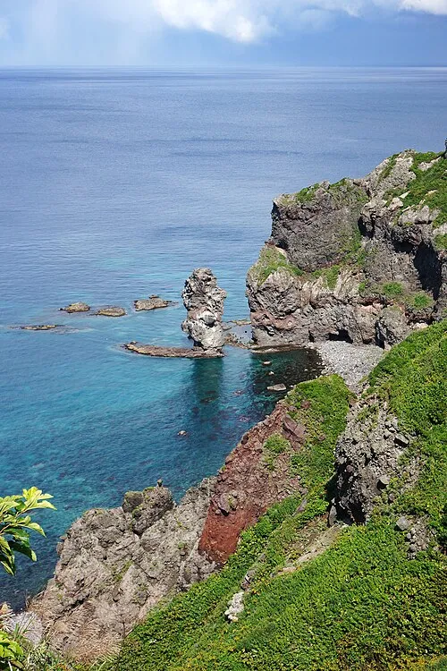 Kamui Misaki Natural site, Shakotan Chō15 km NW
-
 Raiden-yama Mountain, Rankoshi Chō38 km S
-
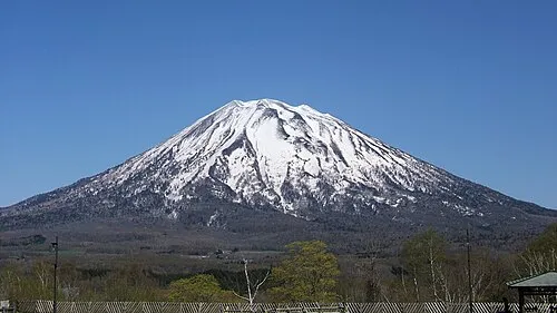 Yōtei-zan Mountain, Kutchan Chō53 km SE
-
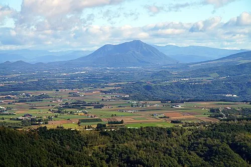 Mount Shiribetsu Mountain, Rusutsu Mura63 km SE
-
 Ishikari Bay Natural site, Hokkaido47 km NE
-
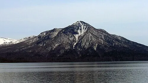 Mount Fuppushi Mountain, Chitose Shi92 km SE
Sources & licences
Data last updated: · 2 independent sources