- Elevation
- 1 m
- above sea level
- Local time
- UTC+09:00
- Asia/Tokyo · UTC+09:00
- Airports
- MSJ Misawa Airport / Misawa Air Base24 km
- AOJ Aomori Airport76 km
About Kabu-jima
Kabu-jima is an island. Location: Japan.
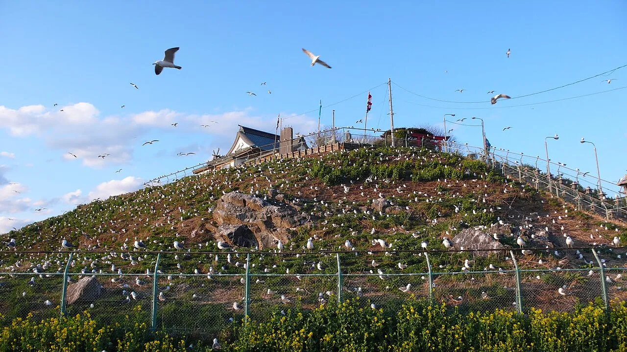
Kabushima (蕪島) is a small island located in Hachinohe, Aomori, in the Tōhoku region of northern Japan. Part of the Tanesashi Coast, it was incorporated into the Sanriku Fukkō National Park from May 2013.
Read more on Wikipedia Text: Wikipedia contributors · CC BY-SA 4.0 · shortened
At a glance
- Heritage designation
- natural monument
Source: Wikidata
Climate of Kabu-jima
Best months for sightseeingBest months for sightseeing: May–September.
Bars: average monthly low and high temperature. Below: precipitation. Monthly averages for 1970–2000 at about 18 km resolution, adjusted for elevation. Highlighted months are mild and relatively dry. Source: WorldClim 2.1 (CC BY 4.0).
Show values as a table
| Month | Jan | Feb | Mar | Apr | May | Jun | Jul | Aug | Sep | Oct | Nov | Dec |
|---|---|---|---|---|---|---|---|---|---|---|---|---|
| Average high (°C) | 2° | 3° | 6° | 13° | 18° | 20° | 24° | 26° | 23° | 18° | 11° | 5° |
| Average low (°C) | -5° | -4° | -2° | 3° | 8° | 12° | 17° | 19° | 15° | 8° | 2° | -2° |
| Precipitation (mm) | 57 | 52 | 60 | 72 | 83 | 105 | 131 | 140 | 166 | 95 | 67 | 53 |
Other places to visit in this season: May June July August September
Airports nearest to Kabu-jima
- Misawa Airport / Misawa Air Base (MSJ) Misawa 24 km
- Aomori Airport (AOJ) Aomori 76 km
- Odate Noshiro Airport (ONJ) Kitaakita 107 km
Straight-line distance; airports with scheduled flights only. Source: OurAirports (public domain).
Nearest towns and villages
-
Hachinohe City, Hachinohe Shi5.6 km SW
-
Hashikami Chō Municipality, Sannohe Gun12 km S
-
Nejō Village, Hachinohe Shi7.3 km SW
-
Oirase Chō Municipality, Kamikita-gun16 km NW
-
Hitokawame Town, Oirase Chō14 km NW
-
Nambu Municipality, Sannohe Gun21 km SW
Nearby attractions & nature
Everything nearby-
Mabechi River River, Japan2.5 km W
-
Oirase River River, Japan11 km NW
More lakes, rivers and coasts in Japan
-
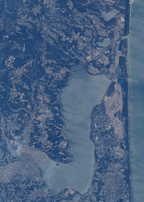 Lake Ogarawa Lake, Aomori33 km NW
-
Arata River River, Iwate36 km S
-
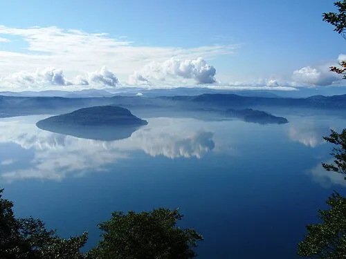 Lake Towada Lake, Japan57 km W
-
Kuji River River, Japan42 km SE
-
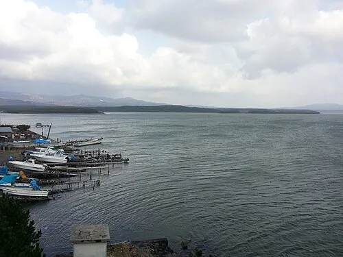 Lake Jūsan Lake, Aomori116 km NW
-
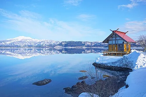 Lake Tazawa Lake, Akita118 km SW
Sources & licences
Data last updated: · 2 independent sources