Shimokoshiki Island
Located in Satsuma-sendai Shi, Kagoshima Coordinates: 31°41′46″ N 129°43′04″ E

- Elevation
- 413 m
- above sea level
- Local time
- UTC+09:00
- Asia/Tokyo · UTC+09:00
- Airports
- KOJ Kagoshima Airport96 km
- AXJ Amakusa Airport97 km
About Shimokoshiki Island
Shimokoshiki Island is an island. Location: Satsuma-sendai Shi, Kagoshima.
Shimokoshiki Island (下甑島, Shimokoshiki-shima) is the largest island in the Koshikishima Islands. Its coasts are washed by East China Sea. The island's highest peak is Mount Otake 604 m (1,982 ft) housing a long-range radar station of the Japan Air Self-Defense Force at 31.694625°N 129.715992°E / 31.694625; 129.715992.
Source: Wikipedia · CC BY-SA 4.0
At a glance
- Area
- 66.1 km²
Source: Wikidata
Photos of Shimokoshiki Island
-

国土地理院 · CC BY 4.0

Climate of Shimokoshiki Island
Best months for sightseeingBest months for sightseeing: May–July, September–October.
This month · November
A wet month
Day 16° · Night 10° · Rain 119 mm
Better nearby cities in November
- Kagoshima · 80 km east19°
- Kirishima · 99 km east19°
- Kanoya · 113 km east19°
- Hottest month
- August (day 28°)
- Coldest month
- January (night 3°)
- Wettest month
- June (418 mm)
- Driest month
- January (110 mm)
Bars: average monthly low and high temperature. Below: precipitation. Monthly averages for 1970–2000 at about 18 km resolution, adjusted for elevation. Highlighted months are mild and relatively dry. Source: WorldClim 2.1 (CC BY 4.0).
Show values as a table
| Month | Jan | Feb | Mar | Apr | May | Jun | Jul | Aug | Sep | Oct | Nov | Dec |
|---|---|---|---|---|---|---|---|---|---|---|---|---|
| Average high (°C) | 8° | 9° | 12° | 17° | 20° | 23° | 27° | 28° | 25° | 21° | 16° | 11° |
| Average low (°C) | 3° | 3° | 6° | 10° | 14° | 17° | 21° | 22° | 19° | 15° | 10° | 5° |
| Precipitation (mm) | 110 | 116 | 150 | 232 | 264 | 418 | 402 | 274 | 264 | 119 | 119 | 118 |
Other places to visit in this season: May June July September October
How to get to Shimokoshiki Island
The nearest airport is Kagoshima Airport (KOJ), 96 km to the east as the crow flies. The nearest large city is Kagoshima, 80 km to the east.
Airports
- Kagoshima Airport (KOJ) Kagoshima 96 kmeast
- Amakusa Airport (AXJ) Amakusa 97 kmnortheast
- Fukue Airport (FUJ) Goto 136 kmnorthwest
Nearby large cities
- Kagoshima Population: 595K 80 kmeast
- Kirishima Population: 123.2K 99 kmeast
- Kanoya Population: 101.1K 113 kmeast
- Nagasaki Population: 409.1K 118 kmnorth
- Honmachi Population: 123.1K 122 kmnortheast
Straight-line distances; road distances are longer. Airport data: OurAirports.
Day trips from Shimokoshiki Island
Within 100 km: 4 natural sites, 8 lakes, rivers and coasts.
0–25 km2 places
- Kamikoshiki Jima Island 22 kmNE
- Koshiki Islands Island 12 kmNE
60–100 km10 places
- Shimoshima Island Island 79 kmNE
- Kuro Shima Island 98 kmS
- Lake Ikeda Lake 95 kmSE
- Kaimondake Volcano Mountain 96 kmSE
Straight-line distances.
Nearest towns and villages
-
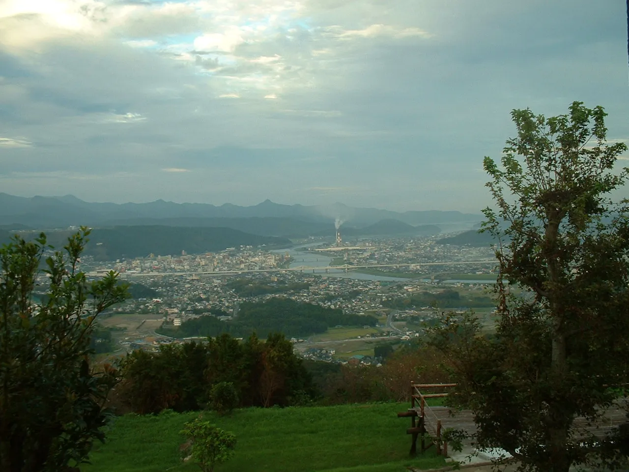 Sendai City, Satsuma-sendai Shi57 km E
-
Kushikino Town, Ichiki-kushikino Shi52 km E
-
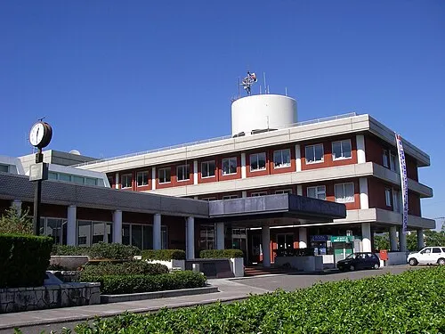 Akune City, Akune Shi58 km NE
-
Ichikikushikino City, Ichiki-kushikino Shi55 km E
Nearby attractions & nature
Everything nearby-
 Koshiki Islands Island, Satsuma-sendai Shi12 km NE
-
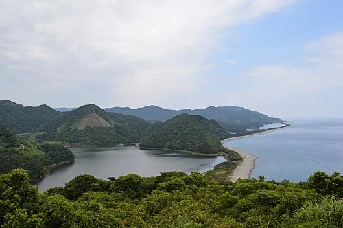 Kamikoshiki Jima Island, Satsuma-sendai Shi22 km NE
Sources & licences
Data last updated: · 2 independent sources