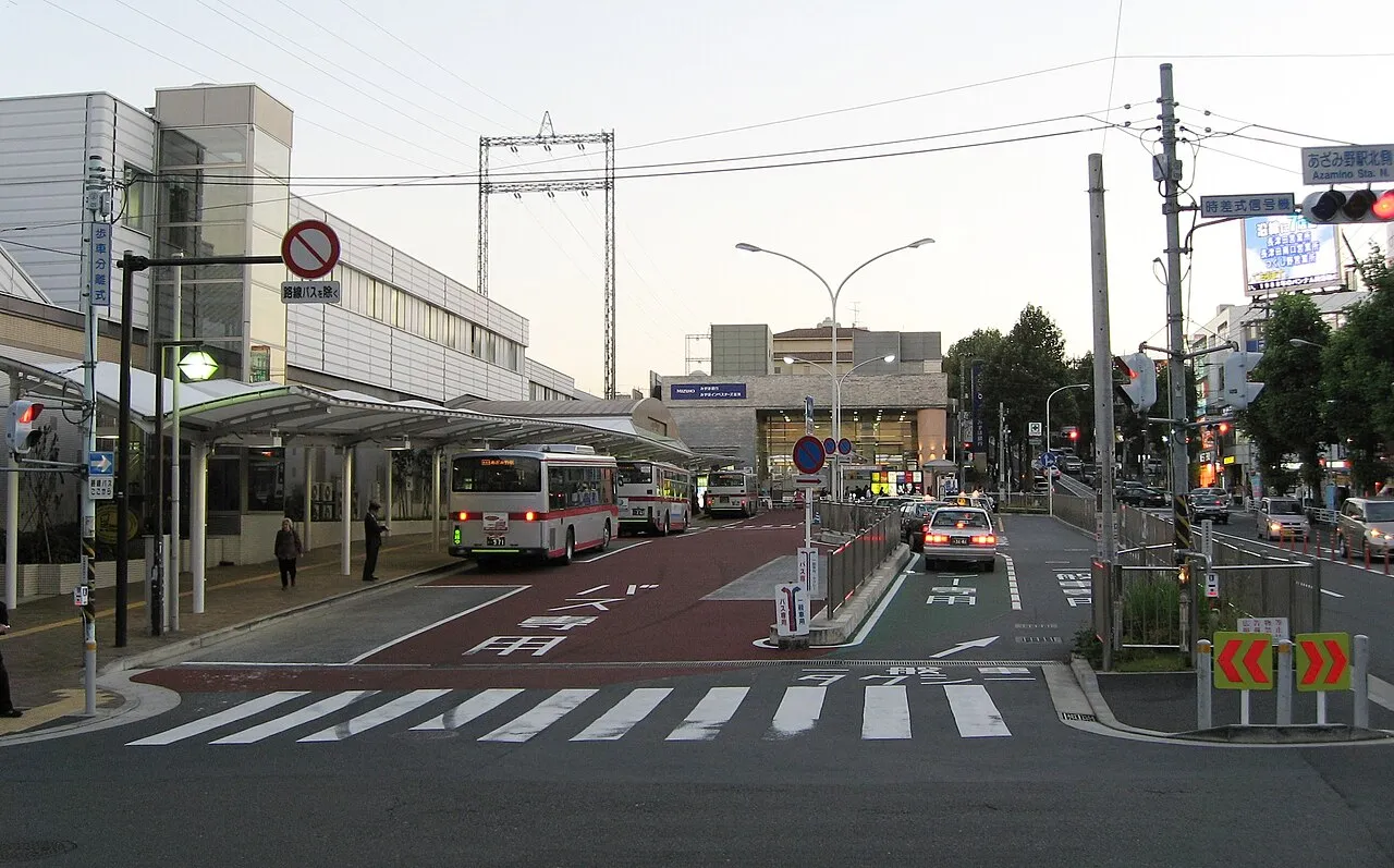
- Population
- 17,682
- 17.7K
- Elevation
- 54 m
- above sea level
- Local time
- UTC+09:00
- Asia/Tokyo · UTC+09:00
- Airports
- HND Tokyo Haneda International Airport22 km
- NRT Narita International Airport80 km
About Azamino
Azamino is a town. Location: Aoba, Yokohama. Population: 17,682. Elevation: 54 m.
Azamino (あざみ野) is a bedroom community of Tokyo and Yokohama, located in Aoba-ku, Yokohama, Kanagawa Prefecture, Japan. The area is 20 minutes from Shibuya Station on the Tōkyū Den-en-toshi Line and 27 minutes by subway from Yokohama Station on the Yokohama Subway. Known as an upscale enclave, its residents have come to endearingly refer to themselves as Azaminese. It has seen development in recent years. It is located next to the trendy Tama Plaza.
Source: Wikipedia · CC BY-SA 4.0
Photos of Azamino
-

Fueltank62 · CC BY-SA 4.0 -

Fueltank62 · CC BY-SA 4.0 -

akiko yanagawa · CC BY-SA 2.0 -

246-You · CC BY 2.0 -

Toshihiro Gamo from Yokohama, Kanagawa, Japan · CC BY 2.0


Climate of Azamino
Best months for sightseeingBest months for sightseeing: May–June, October.
This month · November
Outside the best season
Day 17° · Night 8° · Rain 91 mm
Better nearby cities in November
- Isehara · 28 km southwest18°
- Odawara · 49 km southwest19°
- Mishima · 76 km southwest18°
- Hottest month
- August (day 30°)
- Coldest month
- January (night 0°)
- Wettest month
- September (209 mm)
- Driest month
- December (45 mm)
Bars: average monthly low and high temperature. Below: precipitation. Monthly averages for 1970–2000 at about 18 km resolution, adjusted for elevation. Highlighted months are mild and relatively dry. Source: WorldClim 2.1 (CC BY 4.0).
Show values as a table
| Month | Jan | Feb | Mar | Apr | May | Jun | Jul | Aug | Sep | Oct | Nov | Dec |
|---|---|---|---|---|---|---|---|---|---|---|---|---|
| Average high (°C) | 9° | 10° | 13° | 19° | 23° | 25° | 29° | 30° | 27° | 21° | 17° | 12° |
| Average low (°C) | 0° | 1° | 4° | 9° | 14° | 18° | 22° | 23° | 20° | 14° | 8° | 3° |
| Precipitation (mm) | 47 | 61 | 108 | 126 | 145 | 196 | 160 | 175 | 209 | 182 | 91 | 45 |
How to get to Azamino
The nearest airport is Tokyo Haneda International Airport (HND), 22 km to the east as the crow flies. The nearest large city is Machida, 9 km to the west.
Airports
- Tokyo Haneda International Airport (HND) Tokyo 22 kmeast
- Narita International Airport (NRT) Narita 80 kmeast
- Oshima Airport (OIM) Izu Oshima 89 kmsouth
Nearby large cities
- Machida Population: 431.1K 9 kmwest
- Chōfu Population: 242.6K 10 kmnorth
- Tama Population: 148.3K 11 kmnorthwest
- Minamirinkan Population: 224K 12 kmsouthwest
- Fuchū Population: 262.8K 13 kmnorthwest
Straight-line distances; road distances are longer. Airport data: OurAirports.
Day trips from Azamino
Within 100 km: 51 historic and cultural sites, 46 natural sites, 48 lakes, rivers and coasts.
0–25 km36 places
- National Museum of Modern Art Museum 23 kmNE
- Arisugawa-no-miya Memorial Park Natural site 19 kmNE
- Saikō Saibansho Attraction 22 kmNE
- Koishikawa Kōraku En Attraction 24 kmNE
25–60 km69 places
- Jōga Shima Island 49 kmS
- Enoshima Island 31 kmS
- Saitama Super Arena Landmark 37 kmN
- Mount Bukō Mountain 58 kmNW
60–100 km40 places
- Ō Shima Island 93 kmS
- Hatsu-shima Island 68 kmSW
- Lake Shoji Lake 86 kmW
- Mount Echizen-dake Mountain 78 kmSW
Straight-line distances.
Nearby attractions & nature
Everything nearby-
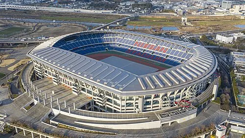 Nissan Stadium Landmark, Kōhoku-ku8.7 km SE
-
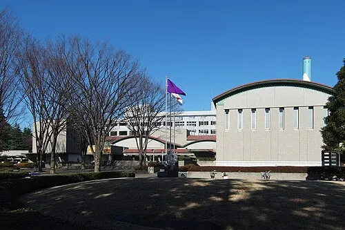 Setagaya Art Museum Museum, Setagaya-ku9.8 km NE
-
 Kinuta Park Natural site, Setagaya-ku9.6 km NE
-
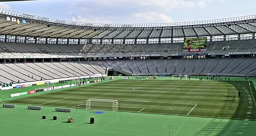 Ajinomoto Stadium Landmark, Chōfu-shi11 km N
-
 Sōji Ji Attraction, Tsurumi Ku13 km SE
-
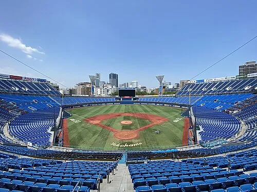 Yokohama Stadium Landmark, Naka Ku16 km SE
-
 Yokohama Marine Tower Landmark, Naka Ku17 km SE
-
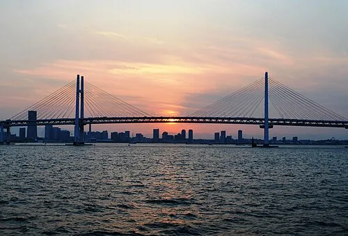 Yokohama Bay Bridge Landmark, Kanagawa17 km SE
Sources & licences
Data last updated: · 2 independent sources