- Local time
- UTC+09:00
- Asia/Tokyo · UTC+09:00
- Airports
- ITM Osaka Itami International Airport85 km
- TJH Konotori Tajima Airport87 km
About Kita-gawa
Kita-gawa is a river. Location: Japan. The best months to visit are May–June, September–October. The nearest airport is Osaka Itami International Airport (85 km). Nearby sights include Lake Suigetsu and Mimi River.
Climate of Kita-gawa
Best months for sightseeingBest months for sightseeing: May–June, September–October.
This month · November
A wet month
Day 15° · Night 7° · Rain 141 mm
Better nearby cities in November
- Kofu · 256 km east17°
- Fujinomiya · 262 km east18°
- Fuji · 269 km east20°
- Hottest month
- August (day 30°)
- Coldest month
- February (night 0°)
- Wettest month
- September (208 mm)
- Driest month
- August (131 mm)
Bars: average monthly low and high temperature. Below: precipitation. Monthly averages for 1970–2000 at about 18 km resolution, adjusted for elevation. Highlighted months are mild and relatively dry. Source: WorldClim 2.1 (CC BY 4.0).
Show values as a table
| Month | Jan | Feb | Mar | Apr | May | Jun | Jul | Aug | Sep | Oct | Nov | Dec |
|---|---|---|---|---|---|---|---|---|---|---|---|---|
| Average high (°C) | 7° | 7° | 10° | 16° | 21° | 24° | 29° | 30° | 26° | 20° | 15° | 10° |
| Average low (°C) | 1° | 0° | 2° | 8° | 12° | 17° | 21° | 22° | 19° | 13° | 7° | 3° |
| Precipitation (mm) | 190 | 150 | 140 | 135 | 143 | 203 | 201 | 131 | 208 | 139 | 141 | 173 |
Other places to visit in this season: May June September October
How to get to Kita-gawa
The nearest airport is Osaka Itami International Airport (ITM), 85 km to the south as the crow flies. The nearest large city is Nagahama, 49 km to the east.
Airports
- Osaka Itami International Airport (ITM) Osaka 85 kmsouth
- Konotori Tajima Airport (TJH) Toyooka 87 kmwest
- Kobe Airport (UKB) Kobe 108 kmsouthwest
Nearby large cities
- Nagahama Population: 113.6K 49 kmeast
- Hikone Population: 113.6K 54 kmsoutheast
- Ōtsu Population: 345.1K 57 kmsouth
- Kusatsu Population: 143.9K 58 kmsouth
- Youkaichi Population: 112.8K 60 kmsoutheast
Straight-line distances; road distances are longer. Airport data: OurAirports.
Nearest towns and villages
-
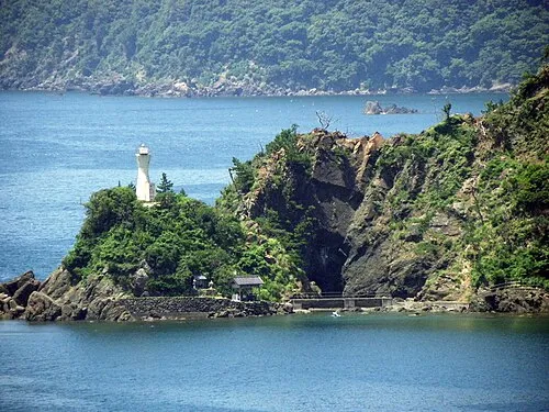 Obama City, Obama-shi1.2 km S
-
Wakasa-chō Municipality, Mikatakaminaka12 km E
-
Ōi-chō Municipality, Ōi-gun14 km SW
-
Takahama Chō Municipality, Ōi-gun21 km W
-
Takahama Town, Takahama Chō18 km W
-
Mihama Chō Municipality, Mikata-gun23 km NE
Nearby attractions & nature
Everything nearby-
Lake Suigetsu Lake, Japan15 km NE
-
Mimi River River, Japan21 km NE
More lakes, rivers and coasts in Japan
-
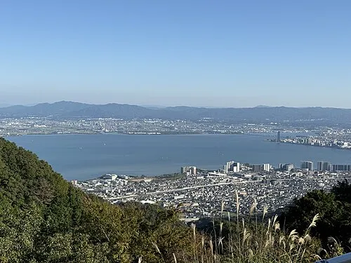 Lake Biwa Lake, Shiga Prefecture42 km SE
-
 Ko-shima Island, Japan36 km NW
-
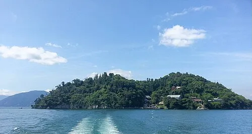 Chikubu Island Island, Japan37 km E
-
Takano River River, Kyoto39 km W
-
Kamo River River, Japan60 km S
-
Yasu River River, Japan48 km SE
Sources & licences
Data last updated: