- Population
- 7,277
- 7.3K
- Elevation
- 73 m
- above sea level
- Local time
- UTC+09:00
- Asia/Tokyo · UTC+09:00
- Airports
- NGO Chubu Centrair International Airport37 km
- NKM Nagoya Airport / JASDF Komaki Air Base66 km
About Sekichō-furumaya
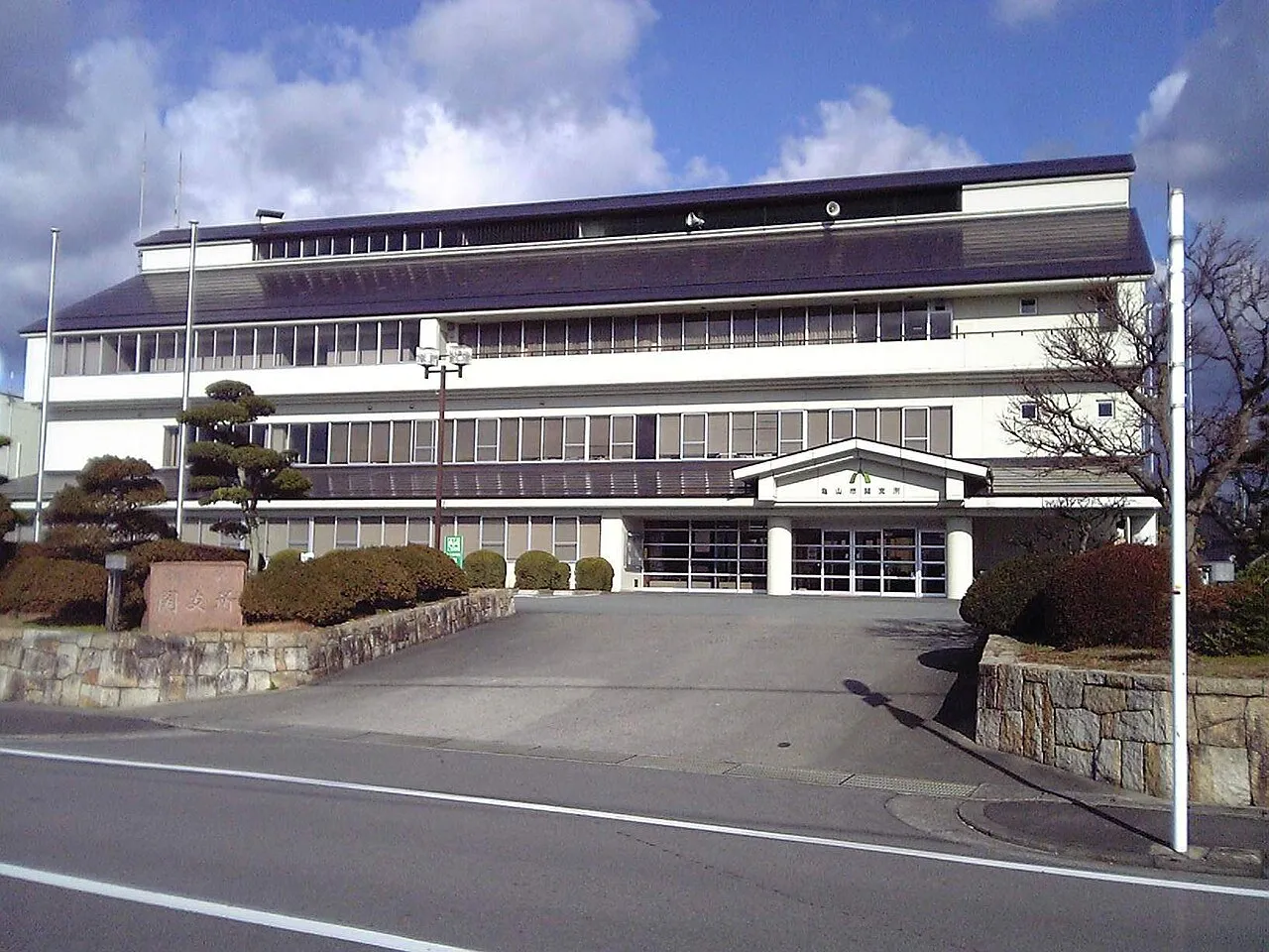
Sekichō-furumaya is a town. Location: Kameyama Shi, Mie. Population: 7,277. Elevation: 73 m.
Seki (関町, Seki-cho) was a town located in Suzuka District, Mie Prefecture, Japan.
Source: Wikipedia · CC BY-SA 4.0
At a glance
- Built
- 1889
- Area
- 79.9 km²
Source: Wikidata
Climate of Sekichō-furumaya
Best months for sightseeingBest months for sightseeing: May–June, September–October.
This month · November
Outside the best season
Day 16° · Night 7° · Rain 87 mm
Better nearby cities in November
- Fujinomiya · 206 km east18°
- Fuji · 211 km east20°
- Kofu · 217 km northeast17°
- Hottest month
- August (day 31°)
- Coldest month
- January (night 0°)
- Wettest month
- June (261 mm)
- Driest month
- December (52 mm)
Bars: average monthly low and high temperature. Below: precipitation. Monthly averages for 1970–2000 at about 18 km resolution, adjusted for elevation. Highlighted months are mild and relatively dry. Source: WorldClim 2.1 (CC BY 4.0).
Show values as a table
| Month | Jan | Feb | Mar | Apr | May | Jun | Jul | Aug | Sep | Oct | Nov | Dec |
|---|---|---|---|---|---|---|---|---|---|---|---|---|
| Average high (°C) | 8° | 8° | 12° | 18° | 22° | 25° | 29° | 31° | 27° | 21° | 16° | 11° |
| Average low (°C) | 0° | 0° | 3° | 8° | 13° | 18° | 22° | 23° | 19° | 13° | 7° | 2° |
| Precipitation (mm) | 59 | 75 | 121 | 168 | 173 | 261 | 253 | 183 | 244 | 144 | 87 | 52 |
Other places to visit in this season: May June September October
How to get to Sekichō-furumaya
The nearest airport is Chubu Centrair International Airport (NGO), 37 km to the east as the crow flies. The nearest large city is Tsu, 17 km to the southeast.
Airports
- Chubu Centrair International Airport (NGO) Tokoname 37 kmeast
- Nagoya Airport / JASDF Komaki Air Base (NKM) Nagoya 66 kmnortheast
- Osaka Itami International Airport (ITM) Osaka 88 kmwest
Nearby large cities
- Tsu Population: 274.5K 17 kmsoutheast
- Suzuka Population: 195.7K 17 kmeast
- Yokkaichi Population: 305.4K 24 kmnortheast
- Matsusaka Population: 159.1K 33 kmsoutheast
- Kuwana Population: 140.1K 33 kmnortheast
Straight-line distances; road distances are longer. Airport data: OurAirports.
Day trips from Sekichō-furumaya
Within 100 km: 32 historic and cultural sites, 42 natural sites, 38 lakes, rivers and coasts.
0–25 km2 places
- Mount Gozaisho Mountain 19 kmN
- Suzuka River River 24 kmE
25–60 km42 places
- Tōshi-jima Island 57 kmSE
- Himakajima Island 58 kmE
- Sakate-jima Island 58 kmSE
- Kumozu River River 27 kmSE
60–100 km68 places
- Kami-jima Island 63 kmSE
- Kashiko Island Island 71 kmSE
- Suga-shima Island 60 kmSE
- Mount Miwa Mountain 60 kmSW
Straight-line distances.
Nearby attractions & nature
Everything nearby-
 Mount Gozaisho Mountain, Shiga Prefecture19 km N
-
Suzuka River River, Japan24 km E
Sources & licences
Data last updated: · 2 independent sources