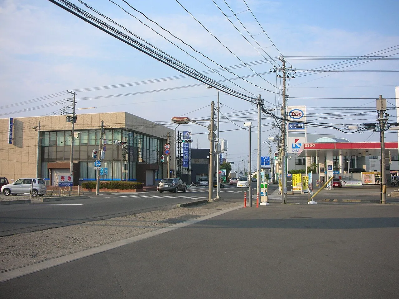
- Population
- 76,312
- 76.3K
- Elevation
- 23 m
- above sea level
- Local time
- UTC+09:00
- Asia/Tokyo · UTC+09:00
- Airports
- SDJ Sendai Airport48 km
- GAJ Yamagata Airport54 km
About Furukawa
Furukawa is a town. Location: Ōsaki Shi, Miyagi. Population: 76,312. Elevation: 23 m.
Furukawa (古川市, Furukawa-shi) was a city located in Miyagi Prefecture, Japan. In 2003, the city had an estimated population of 73,980 and a population density of 551.51 persons per km2. The total area was 134.14 km2. The city was founded on December 15, 1950. On March 31, 2006, Furukawa, along with the towns of Iwadeyama and Naruko (both from Tamatsukuri District), the towns of Kashimadai, Matsuyama and Sanbongi (all from Shida District), and the town of Tajiri (from Tōda District), to create the new city of Ōsaki.
Source: Wikipedia · CC BY-SA 4.0
At a glance
- Built
- 1950
Source: Wikidata
Climate of Furukawa
Best months for sightseeingBest months for sightseeing: May–July, September–October.
This month · November
Outside the best season
Day 12° · Night 3° · Rain 73 mm
Better nearby cities in November
- Isehara · 382 km southwest18°
- Kofu · 386 km southwest17°
- Hottest month
- August (day 27°)
- Coldest month
- January (night -4°)
- Wettest month
- September (170 mm)
- Driest month
- January (58 mm)
Bars: average monthly low and high temperature. Below: precipitation. Monthly averages for 1970–2000 at about 18 km resolution, adjusted for elevation. Highlighted months are mild and relatively dry. Source: WorldClim 2.1 (CC BY 4.0).
Show values as a table
| Month | Jan | Feb | Mar | Apr | May | Jun | Jul | Aug | Sep | Oct | Nov | Dec |
|---|---|---|---|---|---|---|---|---|---|---|---|---|
| Average high (°C) | 3° | 4° | 8° | 14° | 19° | 22° | 26° | 27° | 24° | 18° | 12° | 6° |
| Average low (°C) | -4° | -3° | -1° | 5° | 10° | 15° | 19° | 21° | 16° | 9° | 3° | -1° |
| Precipitation (mm) | 58 | 59 | 68 | 91 | 92 | 131 | 163 | 139 | 170 | 117 | 73 | 65 |
Other places to visit in this season: May June July September October
How to get to Furukawa
The nearest airport is Sendai Airport (SDJ), 48 km to the south as the crow flies. The nearest large city is Ōsaki, 2 km to the northeast.
Airports
- Sendai Airport (SDJ) Natori 48 kmsouth
- Yamagata Airport (GAJ) Higashine 54 kmwest
- Iwate Hanamaki Airport (HNA) Hanamaki 96 kmnorth
Nearby large cities
- Ōsaki Population: 128.8K 2 kmnortheast
- Ishinomaki Population: 140.2K 35 kmsoutheast
- Sendai Population: 1.1M 35 kmsouth
- Ichinoseki Population: 114.5K 41 kmnorth
- Yamagata Population: 248.8K 64 kmsouthwest
Straight-line distances; road distances are longer. Airport data: OurAirports.
Day trips from Furukawa
Within 100 km: 3 historic and cultural sites, 12 natural sites, 17 lakes, rivers and coasts.
0–25 km1 place
- Zuigan Ji Attraction 24 kmS
25–60 km13 places
- Miyago Jima Island 32 kmSE
- Tashiro Jima Island 50 kmSE
- Tsuki Shima Island 26 kmSE
- Mount Funagata Mountain 32 kmSW
60–100 km18 places
- Waga River River 79 kmN
- Asahi Dake Mountain 96 kmW
- Haguro Yama Mountain 86 kmW
- Mount Chōkai Mountain 99 kmNW
Straight-line distances.
Furukawa and similar cities
Side by side with cities of similar size in the same country: population, elevation and climate.
| Measure | Furukawa | Aira | Kiyose | Shiki |
|---|---|---|---|---|
| Population | 76.3K | 76.3K | 76.2K | 76.4K |
| Elevation | 23 m | 76 m | 53 m | 10 m |
| Summer day (hottest month) | 27° | 31° | 30° | 31° |
| Winter night (coldest month) | -4° | 2° | -1° | 0° |
| Annual rainfall | 1,226 mm | 2,342 mm | 1,461 mm | 1,461 mm |
| Best months | May–Jul, Sep–Oct | May, Oct–Nov | May–Jun, Oct | Apr–Jun, Oct |
| Distance | — | 1,207 km | 335 km | 327 km |
Climate values are 1970–2000 monthly averages; straight-line distance.
Sources & licences
Data last updated: · 2 independent sources