- Population
- 28,566
- 28.6K
- Elevation
- 32 m
- above sea level
- Local time
- UTC+09:00
- Asia/Tokyo · UTC+09:00
- Places inside
- 1
- listed under Chatan Chō
- Airports
- OKA Naha International Airport19 km
- RNJ Yoron Airport102 km
About Chatan Chō
Chatan Chō is a municipality. Location: Nakagami, Okinawa. Population: 28,566. Elevation: 32 m.
Chatan (北谷町, Chatan-chō; Okinawan: Chatan, Northern Ryukyuan: きたたん Kitatan) is a town located in Nakagami District, Okinawa Prefecture, Japan. As of October 2016 the town had an estimated population of 28,578 and the density of 2,100 per km2. The total area of Chatan is 13.62 square kilometres (5.26 mi2). 53.5% of the land area of the town is covered by United States military bases.
Source: Wikipedia · CC BY-SA 4.0
Places bordering Chatan Chō
- Kadena Chō
- Ginowan
- Kitanakagusuku Son
- Okinawa
Population of Chatan Chō over time
| 2010 | 27,264 | |
|---|---|---|
| 2015 | 28,308 | |
| 2021 | 28,167 |
Censuses and official estimates; source: Wikidata.
Climate of Chatan Chō
Best months for sightseeingBest months for sightseeing: November–May.
This month · November
A good month to visit
Day 24° · Night 20° · Rain 131 mm
- Hottest month
- July (day 31°)
- Coldest month
- January (night 14°)
- Wettest month
- August (245 mm)
- Driest month
- December (108 mm)
Bars: average monthly low and high temperature. Below: precipitation. Monthly averages for 1970–2000 at about 18 km resolution, adjusted for elevation. Highlighted months are mild and relatively dry. Source: WorldClim 2.1 (CC BY 4.0).
Show values as a table
| Month | Jan | Feb | Mar | Apr | May | Jun | Jul | Aug | Sep | Oct | Nov | Dec |
|---|---|---|---|---|---|---|---|---|---|---|---|---|
| Average high (°C) | 19° | 19° | 21° | 24° | 27° | 29° | 31° | 31° | 30° | 28° | 24° | 21° |
| Average low (°C) | 14° | 14° | 16° | 19° | 22° | 25° | 26° | 26° | 25° | 23° | 20° | 16° |
| Precipitation (mm) | 123 | 127 | 170 | 187 | 240 | 231 | 175 | 245 | 197 | 171 | 131 | 108 |
Other places to visit in this season: January February March April May November December
How to get to Chatan Chō
The nearest airport is Naha International Airport (OKA), 19 km to the southwest as the crow flies. The nearest large city is Okinawa, 4 km to the northeast.
Airports
- Naha International Airport (OKA) Naha 19 kmsouthwest
- Yoron Airport (RNJ) Yoron 102 kmnortheast
- Kumejima Airport (UEO) Kumejima 105 kmwest
Nearby large cities
- Okinawa Population: 142.8K 4 kmnortheast
- Ginowan Population: 100.1K 7 kmsouth
- Urasoe Population: 115.7K 8 kmsouthwest
- Uruma Population: 125.3K 11 kmnortheast
- Naha Population: 317.6K 15 kmsouthwest
Straight-line distances; road distances are longer. Airport data: OurAirports.
Places in Chatan Chō
1 placeBar: population relative to the most populous place in this list.
Nearby attractions & nature
Everything nearby-
 Shuri Castle Historic site, Naha Shi12 km S
-
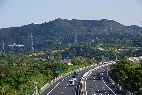 Mount Ishikawa Mountain, Kunigami-gun16 km NE
-
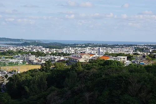 Katsuren Peninsula Natural site, Okinawa13 km E
-
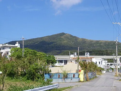 Mount Onna Mountain, Kunigami-gun21 km NE
-
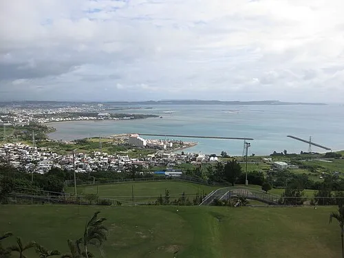 Nakagusuku Bay Natural site, Okinawa15 km SE
-
Tsuken Jima Island, Okinawa19 km E
-
Ryukyu Islands Island, Kin Chō17 km NE
-
Kokuba Gawa River, Okinawa16 km SW
Sources & licences
Data last updated: · 2 independent sources