Hirano Ku
Local name: 平野区
Located in Osaka City, Osaka Coordinates: 34°37′08″ N 135°33′20″ E
- Population
- 200,005
- 200K
- Elevation
- 9 m
- above sea level
- Local time
- UTC+09:00
- Asia/Tokyo · UTC+09:00
- Airports
- ITM Osaka Itami International Airport21 km
- UKB Kobe Airport30 km
About Hirano Ku
Hirano Ku is a municipality. Location: Osaka City, Osaka. Population: 200,005. Elevation: 9 m.
Hirano-ku (平野区) is one of 24 wards which make up the city of Osaka, and is located in the southeast of the city. It is the largest Osaka ward in population and the only ward to have over 200,000 residents. In the Sengoku Period, Sakai and Hirano were known as two of the largest autonomous cities in the Kinai region, and were closely linked through a cooperative relationship often referred to as the Hirano-Sakai Alliance (平堺同盟, Heikai Domei).
Source: Wikipedia · CC BY-SA 4.0
Travel notes for Hirano Ku
From Wikivoyage
HIrano (平野) is a city district of Osaka.
Understand+
On the southeast side of Osaka, Hirano used to be independent from Osaka. It was a moated, commercial city, nationally known as Cotton City. Today, the Hirano Old City (平野旧市街), also called as Hirano-gō (平野郷) area is known as one of the oldest urban areas in Osaka, and preserved old townscape. The city name of Hirano originates from Sakanoe no Hironomaro (坂上広野麻呂), a nobleman who developed the area.
Now Hirano is also known as the festival city. Hirano-gō Summer Festival (平野郷夏まつり) which was begun over 1,300 years ago, is the second largest summer festival in Osaka (the first is Tenjin Festival), so it attracts as many as 300,000 visitors from across Osaka.
Osaka Metro Hirano Station is in the newer part of city south-west of the old city. Along Nankō-dōri, the ward office, banks and high-rise apartments make it the administrative centre of Hirano Ward, taking over that role from the old city. Most visitors from the metro station pass through it on the way to the old city.
Like many European cities, Hirano has a distinct old city and a new city beside it.
Get in+
By train:
Tanimachi Line and Yamatoji Line cross through this district. Osaka Metro Hirano Station and JR Hirano Station are completely separate stations about 1.2 kilometers apart.
From Kansai International Airport, please take a JR Haruka or Kansai Airport Rapid service to Tennoji, and change to either of the two lines via Hirano. The routes from Shin-Osaka Station are shown below.
Metro lines:
The total journey takes approximately 35 to 40 minutes and costs ¥340.
(Via Tennoji Station) Stay on the Midosuji Line until Tennoji Station (22 minutes), then transfer to the Tanimachi Line bound for Yao-minami and ride to Metro Hirano Station (9 minutes). This transfer is entirely within the same station complex and less confusing for first-time visitors than navigating Umeda.
(Via Umeda) Ride the Midosuji Line to Umeda Station (7 minutes). From there, you must exit the gates and walk through the underground shopping complex for approximately 10 minutes to reach Higashi-Umeda Station on the Tanimachi Line. Take the train bound for Yao-minami to Metro Hirano Station (18 minutes).
JR Lines:
From Shin-Osaka Station, two primary routes are available and the total travel time ranges from 35 to 45 minutes, and the standard fare is ¥320.
(Via JR Osaka Higashi Line) Take the JR Osaka Higashi Line directly from Shin-Osaka to Kyuhoji Station (30 minutes). At Kyuhoji, switch to a JR Yamatoji Line local train bound for JR Namba and ride just one stop back to Hirano Station (3 minutes).
(Via JR Yamatoji Line) Take the JR Kyoto Line to Osaka Station (4 minutes), transfer to the Osaka Loop Line (or a Yamatoji Rapid Service) to Tennoji Station (15 minutes), and then transfer to a local train on the JR Yamatoji Line to Hirano Station (6 minutes).
Source: Wikivoyage · CC BY-SA 4.0 · abridged
Places bordering Hirano Ku
- Ikuno-ku
- Higashisumiyoshi-ku
Population of Hirano Ku over time
| 2010 | 200,005 | |
|---|---|---|
| 2015 | 196,633 | |
| 2021 | 190,977 |
Censuses and official estimates; source: Wikidata.
Climate of Hirano Ku
Best months for sightseeingBest months for sightseeing: April–May, October.
This month · November
Outside the best season
Day 18° · Night 8° · Rain 72 mm
Better nearby cities in November
- Kochi · 221 km southwest18°
- Fujinomiya · 287 km east18°
- Fuji · 292 km east20°
- Hottest month
- August (day 33°)
- Coldest month
- January (night 1°)
- Wettest month
- June (223 mm)
- Driest month
- December (37 mm)
Bars: average monthly low and high temperature. Below: precipitation. Monthly averages for 1970–2000 at about 18 km resolution, adjusted for elevation. Highlighted months are mild and relatively dry. Source: WorldClim 2.1 (CC BY 4.0).
Show values as a table
| Month | Jan | Feb | Mar | Apr | May | Jun | Jul | Aug | Sep | Oct | Nov | Dec |
|---|---|---|---|---|---|---|---|---|---|---|---|---|
| Average high (°C) | 10° | 10° | 14° | 20° | 25° | 28° | 31° | 33° | 29° | 23° | 18° | 13° |
| Average low (°C) | 1° | 1° | 4° | 9° | 14° | 19° | 23° | 24° | 20° | 14° | 8° | 3° |
| Precipitation (mm) | 44 | 58 | 100 | 136 | 146 | 223 | 167 | 113 | 191 | 119 | 72 | 37 |
How to get to Hirano Ku
The nearest airport is Osaka Itami International Airport (ITM), 21 km to the northwest as the crow flies. The nearest large city is Yao, 4 km to the east.
Airports
- Osaka Itami International Airport (ITM) Osaka 21 kmnorthwest
- Kobe Airport (UKB) Kobe 30 kmwest
- Kansai International Airport (KIX) Osaka 36 kmsouthwest
Nearby large cities
- Yao Population: 273.2K 4 kmeast
- Matsubara Population: 130.9K 6 kmsouth
- Higashiosaka Population: 493.9K 6 kmnortheast
- Habikino Population: 109.5K 8 kmsoutheast
- Daitō Population: 119.4K 12 kmnortheast
Straight-line distances; road distances are longer. Airport data: OurAirports.
Day trips from Hirano Ku
Within 100 km: 31 historic and cultural sites, 42 natural sites, 19 lakes, rivers and coasts.
0–25 km13 places
- Mount Minami Katsuragi Mountain 21 kmSE
- Kongō San Mountain 24 kmSE
- Mount Shigi Mountain 10 kmE
- Yamato Gawa River 10 kmW
25–60 km55 places
- Mount Rokkō Mountain 32 kmNW
- Mount Miwa Mountain 30 kmE
- Mount Amanokagu Mountain 28 kmSE
- Mount Miminashi Mountain 26 kmSE
60–100 km24 places
- Awaji Island Island 71 kmW
- Kumozu River River 91 kmE
- Mount Ōdaigahara Mountain 68 kmSE
- Mount Kunimi Mountain 66 kmSE
Straight-line distances.
Hirano Ku and similar cities
Side by side with cities of similar size in the same country: population, elevation and climate.
| Measure | Hirano Ku | Nagareyama | Yachiyo | Kodaira |
|---|---|---|---|---|
| Population | 200K | 200.1K | 199.5K | 198.7K |
| Elevation | 9 m | 15 m | 30 m | 79 m |
| Summer day (hottest month) | 33° | 30° | 30° | 30° |
| Winter night (coldest month) | 1° | -1° | 0° | -1° |
| Annual rainfall | 1,406 mm | 1,327 mm | 1,333 mm | 1,484 mm |
| Best months | Apr–May, Oct | May–Jun, Sep–Oct | May–Jun, Oct | Apr–Jun, Sep–Oct |
| Distance | — | 419 km | 434 km | 378 km |
Climate values are 1970–2000 monthly averages; straight-line distance.
Nearby attractions & nature
Everything nearby-
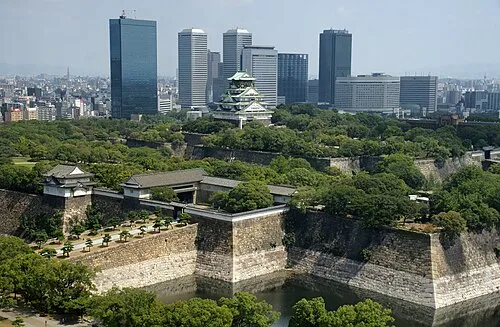 Osaka Castle Historic site, Chūō Ku8.1 km N
-
Yamato Gawa River, Japan10 km W
-
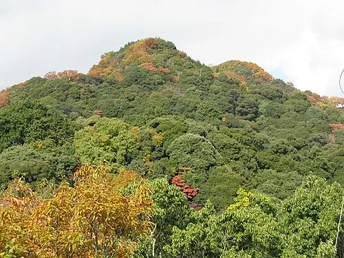 Mount Shigi Mountain, Heguri-chō10 km E
-
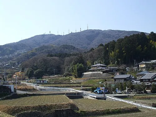 Ikoma Yama Mountain, Ikoma-shi13 km NE
-
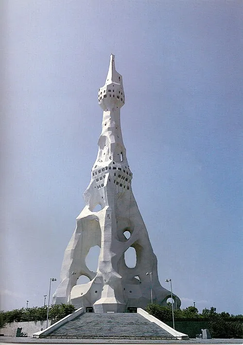 PL Peace Tower Landmark, Tondabayashi Shi13 km S
-
Tenpō Zan Mountain, Minato-ku12 km W
-
Kizu River River, Osaka9.9 km W
-
 National Museum of Ethnology Museum, Suita Shi22 km N
Sources & licences
Data last updated: · 2 independent sources