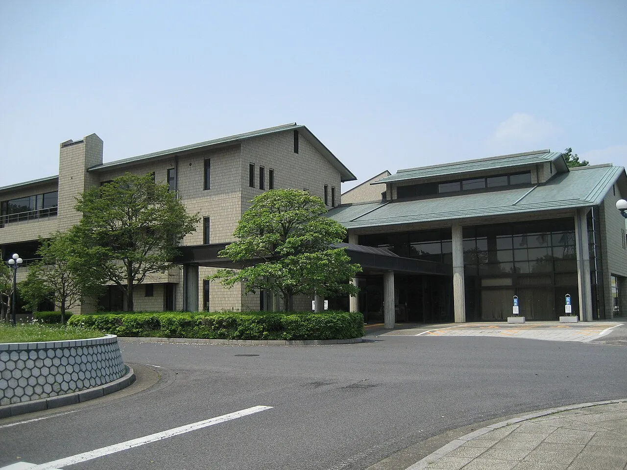
- Population
- 61,540
- 61.5K
- Elevation
- 13 m
- above sea level
- Local time
- UTC+09:00
- Asia/Tokyo · UTC+09:00
- Airports
- HND Tokyo Haneda International Airport48 km
- NRT Narita International Airport70 km
About Hasuda
Hasuda is a city. Location: Hasuda-shi, Saitama. Population: 61,540. Elevation: 13 m.
Hasuda (蓮田市, Hasuda-shi) is a city located in Saitama Prefecture, Japan. As of 1 January 2024, the city had an estimated population of 61,337 in 28,406 households and a population density of 2248 persons per km2. The total area of the city is 27.28 square kilometres (10.53 sq mi).
Read more on Wikipedia Text: Wikipedia contributors · CC BY-SA 4.0 · shortened
Places bordering Hasuda
- Saitama-shi
- Okegawa
- Ageo-shi
- Kuki-shi
- Shiraoka-shi
- Ina-machi
Population of Hasuda over time
| 2010 | 63,309 | |
|---|---|---|
| 2015 | 62,380 | |
| 2021 | 61,473 |
Censuses and official estimates; source: Wikidata.
Climate of Hasuda
Best months for sightseeingBest months for sightseeing: May–June, October.
Bars: average monthly low and high temperature. Below: precipitation. Monthly averages for 1970–2000 at about 18 km resolution, adjusted for elevation. Highlighted months are mild and relatively dry. Source: WorldClim 2.1 (CC BY 4.0).
Show values as a table
| Month | Jan | Feb | Mar | Apr | May | Jun | Jul | Aug | Sep | Oct | Nov | Dec |
|---|---|---|---|---|---|---|---|---|---|---|---|---|
| Average high (°C) | 9° | 10° | 13° | 19° | 23° | 25° | 29° | 30° | 26° | 21° | 16° | 12° |
| Average low (°C) | -1° | 0° | 3° | 9° | 13° | 18° | 21° | 23° | 19° | 13° | 7° | 1° |
| Precipitation (mm) | 36 | 52 | 84 | 105 | 126 | 175 | 159 | 169 | 199 | 160 | 73 | 38 |
Airports nearest to Hasuda
- Tokyo Haneda International Airport (HND) Tokyo 48 km
- Narita International Airport (NRT) Narita 70 km
- Ibaraki Airport (IBR) Omitama 73 km
Straight-line distance; airports with scheduled flights only. Source: OurAirports (public domain).
Nearby attractions & nature
Everything nearby-
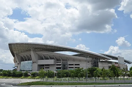 Saitama Stadium 2002 Landmark, Midori-ku9.8 km SE
-
Saitama Super Arena Landmark, Chūō-ku8.6 km S
-
Iruma River River, Saitama12 km SW
-
Watarase River River, Ibaraki21 km N
-
Shingashi River River, Saitama18 km S
Sources & licences
Data last updated: · 2 independent sources