- Elevation
- 2 m
- above sea level
- Local time
- UTC+09:00
- Asia/Tokyo · UTC+09:00
- Airports
- CTS New Chitose Airport40 km
- OKD Sapporo Okadama Airport86 km
About Saru River
Saru River is a river. Location: Japan.
The Saru River (沙流川, Saru-gawa) is a Class A river in Hokkaido, Japan. The Saru River rises in the Hidaka Mountains and empties into the Pacific. It is considered sacred in traditional Ainu beliefs. The Nibutani Dam is situated on the Saru River, at Nibutani village. The construction of this dam was the subject of famous domestic litigation, producing the first ever Japanese legal decision to recognise the Ainu people as an indigenous people.
Read more on Wikipedia Text: Wikipedia contributors · CC BY-SA 4.0 · shortened
At a glance
- Length
- 104 km
Source: Wikidata
Climate of Saru River
Best months for sightseeingBest months for sightseeing: June–September.
Bars: average monthly low and high temperature. Below: precipitation. Monthly averages for 1970–2000 at about 18 km resolution, adjusted for elevation. Highlighted months are mild and relatively dry. Source: WorldClim 2.1 (CC BY 4.0).
Show values as a table
| Month | Jan | Feb | Mar | Apr | May | Jun | Jul | Aug | Sep | Oct | Nov | Dec |
|---|---|---|---|---|---|---|---|---|---|---|---|---|
| Average high (°C) | 0° | 0° | 4° | 10° | 15° | 18° | 22° | 24° | 21° | 15° | 9° | 3° |
| Average low (°C) | -10° | -9° | -5° | 1° | 6° | 11° | 15° | 17° | 13° | 6° | 0° | -6° |
| Precipitation (mm) | 52 | 44 | 57 | 81 | 93 | 93 | 133 | 152 | 151 | 116 | 86 | 60 |
Other places to visit in this season: June July August September
Airports nearest to Saru River
- New Chitose Airport (CTS) Sapporo 40 km
- Sapporo Okadama Airport (OKD) Sapporo 86 km
- Tokachi-Obihiro Airport (OBO) Obihiro 102 km
Straight-line distance; airports with scheduled flights only. Source: OurAirports (public domain).
Nearest towns and villages
-
Mukawa Town, Mukawa Chō11 km NW
-
Biratori Town, Biratori Chō13 km NE
-
Hidaka Chō Municipality, Saru-gun29 km NE
-
Atsuma Chō Municipality, Yūfutsu-gun26 km N
-
Mukawa Chō Municipality, Yūfutsu-gun30 km N
-
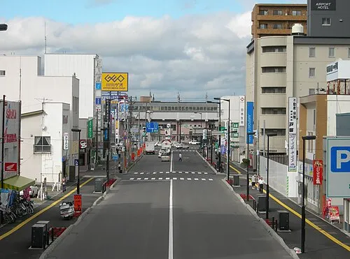 Chitose City, Chitose Shi46 km NW
More lakes, rivers and coasts in Japan
-
Mu River River, Hokkaido9.7 km NW
-
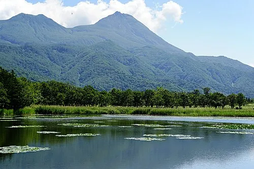 Hokkaido Island, Shintoku Chō128 km NE
-
Niikappu River River, Japan29 km SE
-
Shizunai River River, Japan35 km SE
-
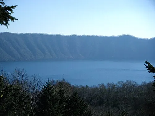 Kuttara-ko Lake, Hokkaido68 km W
-
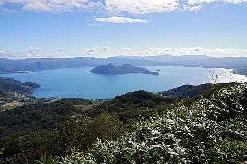 Toya Lake Lake, Hokkaido94 km W
Sources & licences
Data last updated: · 2 independent sources