- Elevation
- 1 m
- above sea level
- Local time
- UTC+09:00
- Asia/Tokyo · UTC+09:00
- Airports
- KCZ Kochi Ryoma Airport93 km
- MYJ Matsuyama Airport103 km
About Shimanto River
Shimanto River is a river. Location: Japan.
The Shimanto River (四万十川, Shimanto-gawa) is a Class A river in western Kōchi Prefecture, Japan. 196 km (122 mi) in length, it has a watershed of 2,270 km2 (880 sq mi).
Read more on Wikipedia Text: Wikipedia contributors · CC BY-SA 4.0 · shortened
At a glance
- Length
- 196 km
Source: Wikidata
Climate of Shimanto River
Best months for sightseeingBest months for sightseeing: April–June, October–November.
Bars: average monthly low and high temperature. Below: precipitation. Monthly averages for 1970–2000 at about 18 km resolution, adjusted for elevation. Highlighted months are mild and relatively dry. Source: WorldClim 2.1 (CC BY 4.0).
Show values as a table
| Month | Jan | Feb | Mar | Apr | May | Jun | Jul | Aug | Sep | Oct | Nov | Dec |
|---|---|---|---|---|---|---|---|---|---|---|---|---|
| Average high (°C) | 11° | 12° | 15° | 20° | 23° | 26° | 30° | 30° | 28° | 24° | 19° | 14° |
| Average low (°C) | 3° | 4° | 7° | 12° | 16° | 20° | 24° | 25° | 22° | 16° | 11° | 5° |
| Precipitation (mm) | 62 | 101 | 156 | 230 | 260 | 331 | 321 | 146 | 309 | 192 | 106 | 72 |
Other places to visit in this season: April May June October November
Airports nearest to Shimanto River
- Kochi Ryoma Airport (KCZ) Nankoku 93 km
- Matsuyama Airport (MYJ) Matsuyama 103 km
- Oita Airport (OIT) Oita 132 km
Straight-line distance; airports with scheduled flights only. Source: OurAirports (public domain).
Nearest towns and villages
-
Shimoda Town, Shimanto Shi1.3 km NW
-
Nakamura Town, Shimanto Shi7.7 km NW
-
Mihara Mura Municipality, Hata-gun14 km W
-
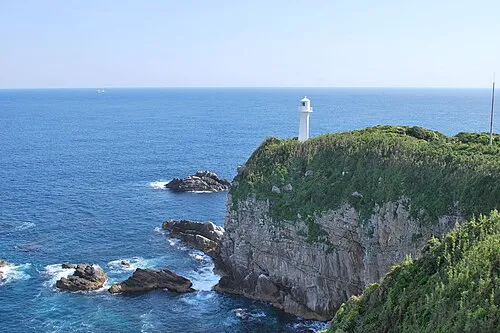 Tosashimizu City, Tosa-shimizu Shi17 km S
-
Kuroshio Chō Municipality, Hata-gun18 km N
-
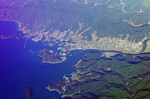 Sukumo City, Sukumo Shi24 km W
More lakes, rivers and coasts in Japan
-
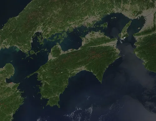 Shikoku Island, Japan102 km NE
-
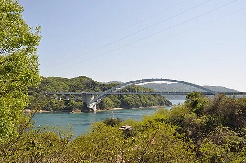 Ōmi Shima Island, Imabari146 km N
-
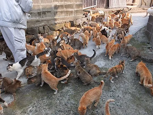 Ao Island Island, Japan101 km NW
-
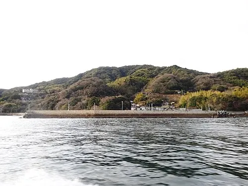 Hashira Island Island, Yamaguchi132 km NW
-
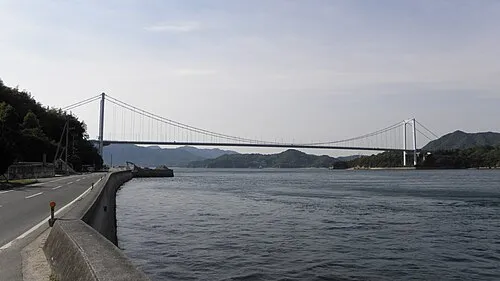 Ō Shima Island, Ehime135 km N
-
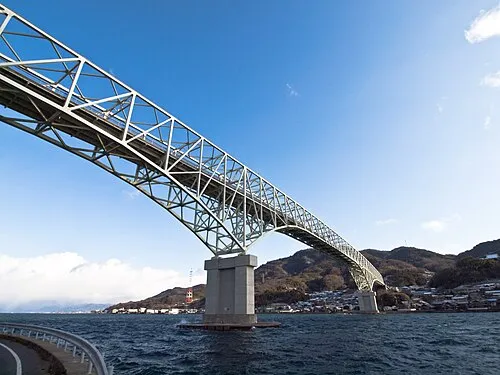 Kurahashi Jima Island, Hiroshima140 km N
Sources & licences
Data last updated: · 2 independent sources