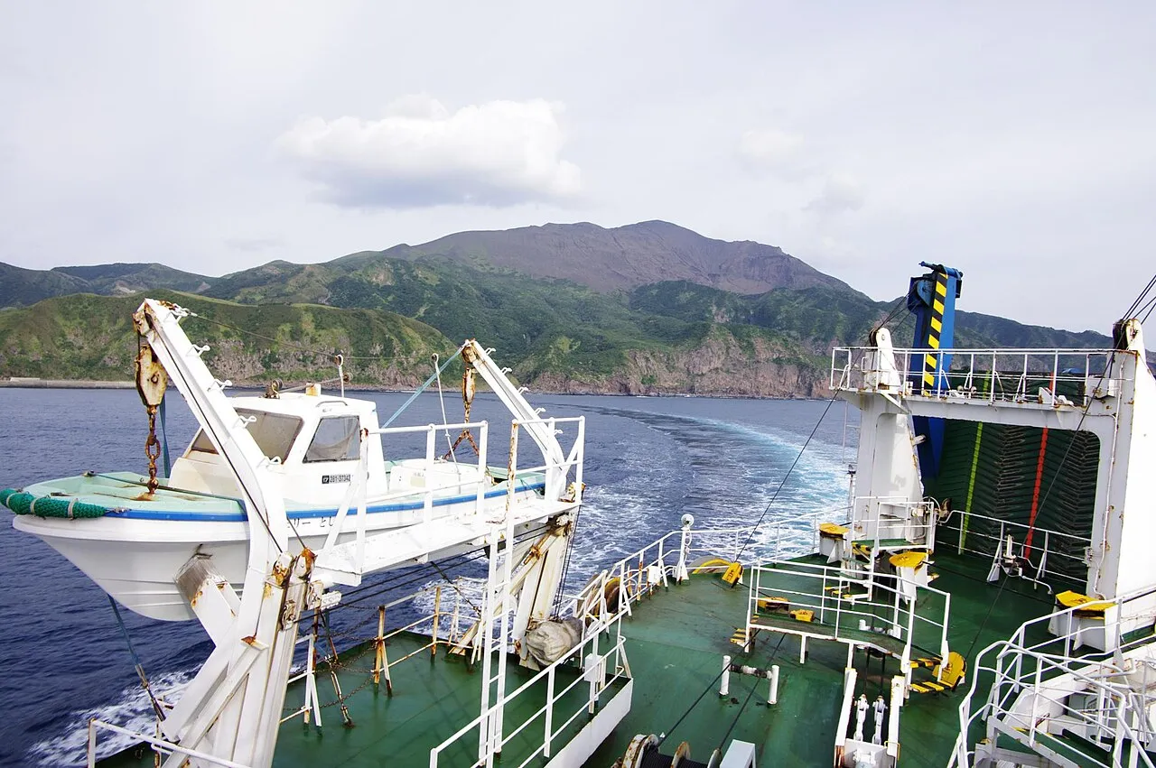
- Elevation
- 506 m
- above sea level
- Local time
- UTC+09:00
- Asia/Tokyo · UTC+09:00
- Population
- 78
- 78
- Airports
- KUM Yakushima Airport124 km
- ASJ Amami Airport134 km
About Suwanose-jima
Suwanose-jima is an island. Location: Japan. Population: 78.
Suwanose Jima (諏訪之瀬島) is one of the Tokara Islands, belonging to Kagoshima Prefecture. The island covers 27.66 km² in area and has a population of 84 people. Although the island has an airport, there are no regularly scheduled services, and access is normally by ferry to the city of Kagoshima on the mainland. The island is about nine hours by boat from the mainland. The islanders are dependent mainly on agriculture, fishing and seasonal tourism.
Read more on Wikipedia Text: Wikipedia contributors · CC BY-SA 4.0 · shortened
At a glance
- Area
- 27.7 km²
Source: Wikidata
Climate of Suwanose-jima
Best months for sightseeingBest months for sightseeing: May–June, September–October.
Bars: average monthly low and high temperature. Below: precipitation. Monthly averages for 1970–2000 at about 18 km resolution, adjusted for elevation. Highlighted months are mild and relatively dry. Source: WorldClim 2.1 (CC BY 4.0).
Show values as a table
| Month | Jan | Feb | Mar | Apr | May | Jun | Jul | Aug | Sep | Oct | Nov | Dec |
|---|---|---|---|---|---|---|---|---|---|---|---|---|
| Average high (°C) | 13° | 13° | 15° | 19° | 21° | 24° | 27° | 27° | 26° | 23° | 19° | 15° |
| Average low (°C) | 8° | 8° | 10° | 13° | 16° | 19° | 23° | 23° | 21° | 17° | 14° | 9° |
| Precipitation (mm) | 154 | 183 | 201 | 257 | 369 | 540 | 230 | 230 | 232 | 159 | 217 | 146 |
Other places to visit in this season: May June September October
Airports nearest to Suwanose-jima
- Yakushima Airport (KUM) Yakushima 124 km
- Amami Airport (ASJ) Amami 134 km
- Kikai Airport (KKX) Kikai 147 km
Straight-line distance; airports with scheduled flights only. Source: OurAirports (public domain).
Nearby attractions & nature
Everything nearby-
Taira-shima Island, Toshima-mura18 km W
-
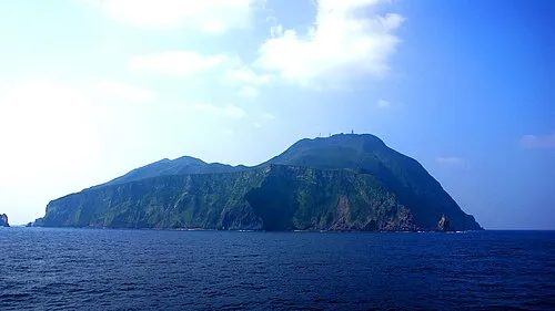 Akuseki-shima Island, Kagoshima22 km SW
More lakes, rivers and coasts in Japan
-
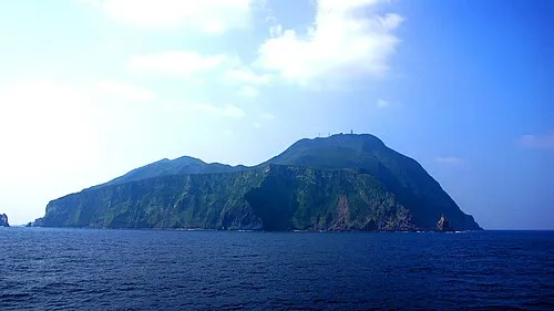 Tokara-rettō Island, Kagoshima30 km S
-
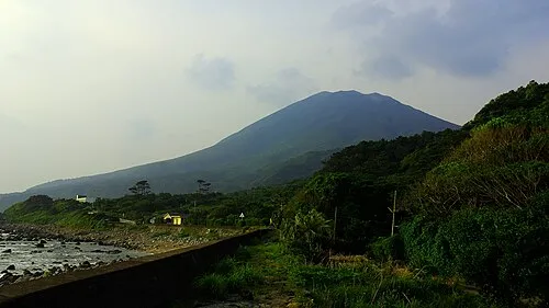 Nakano Shima Island, Kagoshima28 km NE
-
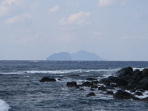 Ko-gaja-shima Island, Japan28 km N
-
Kuchino-shima Island, Japan42 km NE
-
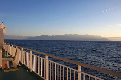 Yaku-shima Island, Kagoshima108 km NE
-
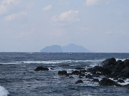 Gaja-shima Island, Kagoshima34 km NW
Sources & licences
Data last updated: · 2 independent sources