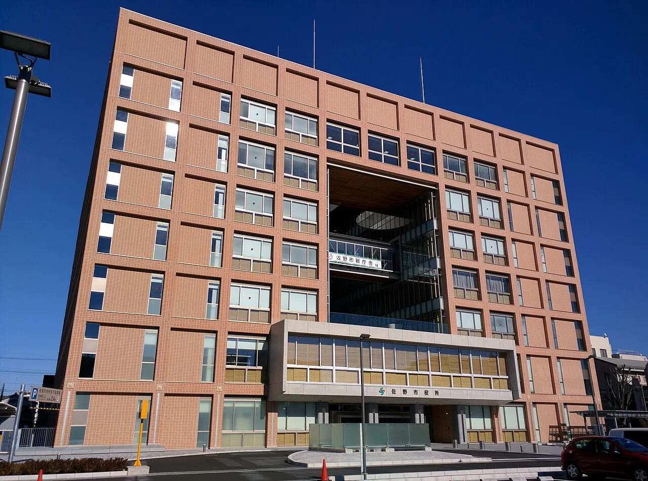
- Population
- 117,669
- 117.7K
- Elevation
- 36 m
- above sea level
- Local time
- UTC+09:00
- Asia/Tokyo · UTC+09:00
- Airports
- IBR Ibaraki Airport76 km
- HND Tokyo Haneda International Airport87 km
About Sano
Sano is a city. Location: Sano Shi, Tochigi. Population: 117,669. Elevation: 36 m.
Sano (佐野市, Sano-shi) is a city located in Tochigi Prefecture, Japan. As of 1 August 2020, the city had an estimated population of 117,669, in 52,066 households and a population density of 330 persons per km2. The total area of the city is 356.04 square kilometres (137.47 sq mi). The city is known for its outlet mall, Sano Yakuyoke Daishi Temple, and its local variety of ramen, Sano ramen. More recently, Sano has gained international recognition for being the home of cricket in Japan.
Source: Wikipedia · CC BY-SA 4.0
Places bordering Sano
- Ashikaga
- Tochigi
- Kanuma
- Kiryū
- Tatebayashi
- Midori
- Itakura-machi
Population of Sano over time
| 2010 | 121,249 | |
|---|---|---|
| 2015 | 118,919 | |
| 2021 | 114,842 |
Censuses and official estimates; source: Wikidata.
Climate of Sano
Best months for sightseeingBest months for sightseeing: May–June, September–October.
This month · November
Outside the best season
Day 16° · Night 5° · Rain 68 mm
Better nearby cities in November
- Isehara · 105 km south18°
- Kofu · 117 km southwest17°
- Odawara · 124 km south19°
- Hottest month
- August (day 30°)
- Coldest month
- January (night -2°)
- Wettest month
- September (185 mm)
- Driest month
- January (36 mm)
Bars: average monthly low and high temperature. Below: precipitation. Monthly averages for 1970–2000 at about 18 km resolution, adjusted for elevation. Highlighted months are mild and relatively dry. Source: WorldClim 2.1 (CC BY 4.0).
Show values as a table
| Month | Jan | Feb | Mar | Apr | May | Jun | Jul | Aug | Sep | Oct | Nov | Dec |
|---|---|---|---|---|---|---|---|---|---|---|---|---|
| Average high (°C) | 9° | 9° | 12° | 18° | 23° | 25° | 28° | 30° | 26° | 21° | 16° | 11° |
| Average low (°C) | -2° | -2° | 2° | 8° | 13° | 17° | 21° | 22° | 18° | 12° | 5° | 0° |
| Precipitation (mm) | 36 | 51 | 72 | 97 | 116 | 162 | 145 | 154 | 185 | 141 | 68 | 38 |
Other places to visit in this season: May June September October
How to get to Sano
The nearest airport is Ibaraki Airport (IBR), 76 km to the east as the crow flies. The nearest large city is Ashikaga, 12 km to the west.
Airports
- Ibaraki Airport (IBR) Omitama 76 kmeast
- Tokyo Haneda International Airport (HND) Tokyo 87 kmsouth
- Narita International Airport (NRT) Narita 95 kmsoutheast
Nearby large cities
- Ashikaga Population: 144.7K 12 kmwest
- Tochigi Population: 159.1K 15 kmnortheast
- Koga Population: 139.3K 19 kmsoutheast
- Ōta Population: 224.4K 20 kmwest
- Oyama Population: 167.6K 20 kmeast
Straight-line distances; road distances are longer. Airport data: OurAirports.
Nearby attractions & nature
Everything nearby-
Umeda Ko Lake, Gunma24 km NW
-
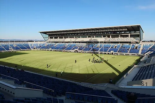 Kumagaya Rugby Ground Landmark, Kumagaya23 km SW
-
Watarase River River, Ibaraki21 km SE
Sources & licences
Data last updated: · 2 independent sources