- Elevation
- 4 m
- above sea level
- Local time
- UTC+09:00
- Asia/Tokyo · UTC+09:00
- Airports
- HND Tokyo Haneda International Airport10 km
- NRT Narita International Airport56 km
About Ariake
Ariake is a neighbourhood. Location: Chuo, Tokyo.
Ariake (有明) is a district in Kōtō, Tokyo, Japan. It is best known as the region adjacent to and directly east of Odaiba. Ariake is subdivided into four chome and comprises part of the Tokyo Bay Landfill No. 10 and Tokyo Rinkai Satellite City Center. As of April 2012 its population was 6,145. Ariake is most well known internationally as the site of the Tokyo Big Sight international exhibition centre.
Read more on Wikipedia Text: Wikipedia contributors · CC BY-SA 4.0 · shortened
Places bordering Ariake
- Toyosu
- Aomi
Climate of Ariake
Best months for sightseeingBest months for sightseeing: May–June, October.
Bars: average monthly low and high temperature. Below: precipitation. Monthly averages for 1970–2000 at about 18 km resolution, adjusted for elevation. Highlighted months are mild and relatively dry. Source: WorldClim 2.1 (CC BY 4.0).
Show values as a table
| Month | Jan | Feb | Mar | Apr | May | Jun | Jul | Aug | Sep | Oct | Nov | Dec |
|---|---|---|---|---|---|---|---|---|---|---|---|---|
| Average high (°C) | 10° | 10° | 13° | 19° | 23° | 25° | 29° | 30° | 27° | 22° | 17° | 12° |
| Average low (°C) | 2° | 2° | 5° | 10° | 15° | 18° | 22° | 24° | 20° | 15° | 9° | 4° |
| Precipitation (mm) | 49 | 63 | 113 | 129 | 137 | 184 | 156 | 157 | 206 | 179 | 95 | 44 |
Airports nearest to Ariake
- Tokyo Haneda International Airport (HND) Tokyo 10 km
- Narita International Airport (NRT) Narita 56 km
- Ibaraki Airport (IBR) Omitama 83 km
Straight-line distance; airports with scheduled flights only. Source: OurAirports (public domain).
Nearby attractions & nature
Everything nearby-
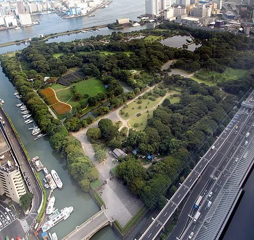 Hamarikyu Gardens Attraction, Chuo3.8 km NW
-
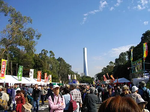 Yumenoshima Park Natural site, Koto-ku3.4 km NE
-
Sumida River River, Tokyo3.1 km NW
-
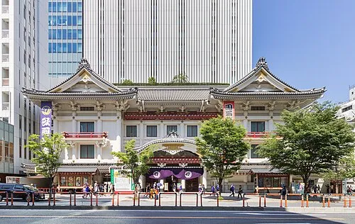 Kabuki-za 歌舞伎座 Attraction, Chuo4.4 km NW
-
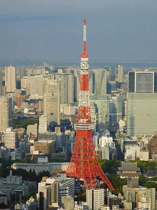 Tokyo Tower Landmark, Minato-ku5 km NW
-
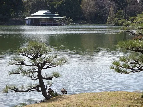 Kiyosumi Teien Attraction, Koto-ku4.9 km N
Sources & licences
Data last updated: · 2 independent sources