- Population
- 20,927
- 20.9K
- Elevation
- 4 m
- above sea level
- Local time
- UTC+09:00
- Asia/Tokyo · UTC+09:00
- Airports
- HND Tokyo Haneda International Airport18 km
- NRT Narita International Airport47 km
About Ichinoe
Ichinoe is a neighbourhood. Location: Edogawa-ku, Tokyo. Population: 20,927. The best months to visit are May–June, October. The nearest airport is Tokyo Haneda International Airport (18 km). Nearby sights include Tokyo Sky Tree and Ayase River.
Climate of Ichinoe
Best months for sightseeingBest months for sightseeing: May–June, October.
This month · November
Outside the best season
Day 17° · Night 8° · Rain 85 mm
Better nearby cities in November
- Isehara · 61 km southwest18°
- Odawara · 81 km southwest19°
- Mishima · 108 km southwest18°
- Hottest month
- August (day 30°)
- Coldest month
- January (night 0°)
- Wettest month
- September (194 mm)
- Driest month
- December (39 mm)
Bars: average monthly low and high temperature. Below: precipitation. Monthly averages for 1970–2000 at about 18 km resolution, adjusted for elevation. Highlighted months are mild and relatively dry. Source: WorldClim 2.1 (CC BY 4.0).
Show values as a table
| Month | Jan | Feb | Mar | Apr | May | Jun | Jul | Aug | Sep | Oct | Nov | Dec |
|---|---|---|---|---|---|---|---|---|---|---|---|---|
| Average high (°C) | 9° | 10° | 13° | 19° | 23° | 25° | 29° | 30° | 27° | 21° | 17° | 12° |
| Average low (°C) | 0° | 1° | 4° | 10° | 14° | 18° | 22° | 23° | 20° | 14° | 8° | 2° |
| Precipitation (mm) | 41 | 58 | 99 | 118 | 120 | 164 | 141 | 142 | 194 | 166 | 85 | 39 |
How to get to Ichinoe
The nearest airport is Tokyo Haneda International Airport (HND), 18 km to the southwest as the crow flies. The nearest large city is Urayasu, 4 km to the southeast.
Airports
- Tokyo Haneda International Airport (HND) Tokyo 18 kmsouthwest
- Narita International Airport (NRT) Narita 47 kmeast
- Ibaraki Airport (IBR) Omitama 73 kmnortheast
Nearby large cities
- Urayasu Population: 171.4K 4 kmsoutheast
- Katsushika-ku Population: 453.1K 6 kmnorthwest
- Chuo Population: 169.2K 10 kmwest
- Matsudo Population: 498.6K 10 kmnorth
- Minato Population: 260.5K 12 kmwest
Straight-line distances; road distances are longer. Airport data: OurAirports.
Nearby attractions & nature
Everything nearby-
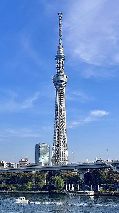 Tokyo Sky Tree Landmark, Sumida6.8 km W
-
Ayase River River, Tokyo5.1 km NW
-
Arakawa Drainage Canal River, Japan5.1 km SW
-
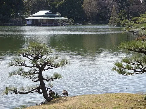 Kiyosumi Teien Attraction, Koto-ku7.8 km W
-
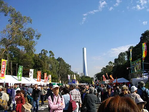 Yumenoshima Park Natural site, Koto-ku7 km SW
-
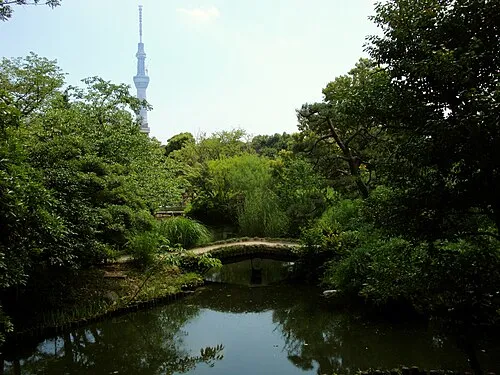 Mukōjima Hyakkaen Attraction, Sumida7.1 km NW
Sources & licences
Data last updated: