- Elevation
- 34 m
- above sea level
- Local time
- UTC+09:00
- Asia/Tokyo · UTC+09:00
- Airports
- HND Tokyo Haneda International Airport12 km
- NRT Narita International Airport61 km
About Shirokane
Shirokane is a neighbourhood. Location: Minato-ku, Tokyo.
Shirokane (白金) is a district of Minato, Tokyo, Japan. Currently it consists of six chōme. According to Minato, as of November 1, 2007, the population in the neighborhood is 19,929. The term Shirokane narrowly refers to Shirokane 1-chōme to Shirokane 6-chōme, but is sometimes used to include the larger neighborhood formerly known as Shiba-Shirokane (芝白金), which encompasses part of Shirokanedai and Takanawa as well as Shirokane. This article deals with the place in the narrow definition.
Source: Wikipedia · CC BY-SA 4.0
Places bordering Shirokane
- Shirokanedai
Climate of Shirokane
Best months for sightseeingBest months for sightseeing: May–June, September–October.
This month · November
Outside the best season
Day 17° · Night 9° · Rain 95 mm
Better nearby cities in November
- Isehara · 46 km southwest18°
- Odawara · 67 km southwest19°
- Mishima · 94 km southwest18°
- Hottest month
- August (day 30°)
- Coldest month
- January (night 1°)
- Wettest month
- September (206 mm)
- Driest month
- December (44 mm)
Bars: average monthly low and high temperature. Below: precipitation. Monthly averages for 1970–2000 at about 18 km resolution, adjusted for elevation. Highlighted months are mild and relatively dry. Source: WorldClim 2.1 (CC BY 4.0).
Show values as a table
| Month | Jan | Feb | Mar | Apr | May | Jun | Jul | Aug | Sep | Oct | Nov | Dec |
|---|---|---|---|---|---|---|---|---|---|---|---|---|
| Average high (°C) | 10° | 10° | 13° | 18° | 23° | 25° | 28° | 30° | 26° | 21° | 17° | 12° |
| Average low (°C) | 1° | 2° | 5° | 10° | 14° | 18° | 22° | 23° | 20° | 14° | 9° | 4° |
| Precipitation (mm) | 49 | 63 | 113 | 129 | 137 | 184 | 156 | 157 | 206 | 179 | 95 | 44 |
Other places to visit in this season: May June September October
How to get to Shirokane
The nearest airport is Tokyo Haneda International Airport (HND), 12 km to the southeast as the crow flies. The nearest large city is Minato, 3 km to the northeast.
Airports
- Tokyo Haneda International Airport (HND) Tokyo 12 kmsoutheast
- Narita International Airport (NRT) Narita 61 kmeast
- Ibaraki Airport (IBR) Omitama 86 kmnortheast
Nearby large cities
- Minato Population: 260.5K 3 kmnortheast
- Chuo Population: 169.2K 5 kmnortheast
- Nakano City Population: 344.9K 9 kmnorthwest
- Ōta-ku Population: 748.1K 9 kmsouth
- Kita-ku Population: 332.1K 12 kmnorth
Straight-line distances; road distances are longer. Airport data: OurAirports.
Nearby attractions & nature
Everything nearby-
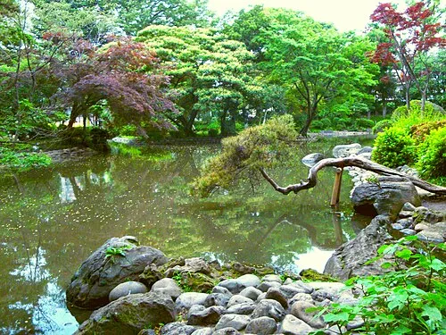 Arisugawa-no-miya Memorial Park Natural site, Minato-ku1 km N
-
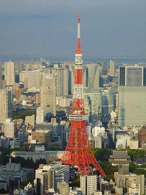 Tokyo Tower Landmark, Minato-ku2.4 km NE
-
Sengaku Ji Attraction, Minato-ku1 km SE
-
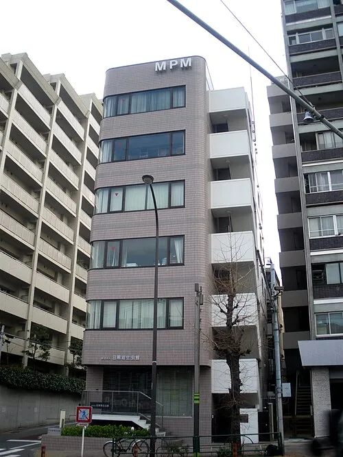 Meguro Parasitological Museum Museum, Meguro-ku2.2 km SW
-
 Zōjō Ji Attraction, Minato-ku2.5 km NE
-
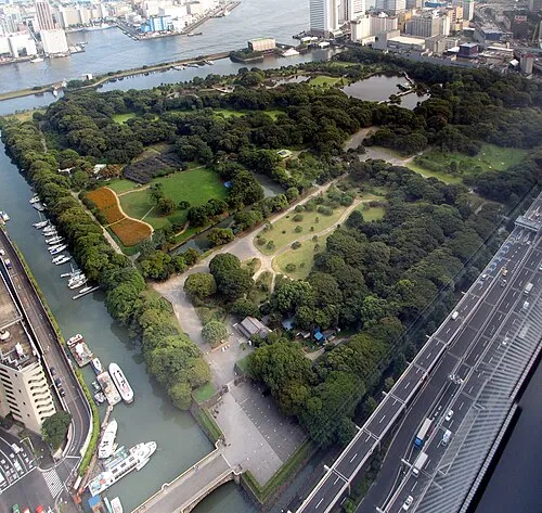 Hamarikyu Gardens Attraction, Chuo3.8 km NE
Sources & licences
Data last updated: · 2 independent sources