
- Local time
- UTC+09:00
- Asia/Tokyo · UTC+09:00
- Airports
- TJH Konotori Tajima Airport84 km
- KMQ Komatsu Airport / JASDF Komatsu Air Base98 km
About Wakasa Bay
Wakasa Bay is a natural site. Location: Japan.
Wakasa Bay (若狭湾, Wakasa-wan) is a bay located in the Chūbu region of Japan, and spans the coasts of Kyoto Prefecture, and Fukui Prefecture.
Read more on Wikipedia Text: Wikipedia contributors · CC BY-SA 4.0 · shortened
At a glance
- Area
- 2,657 km²
Source: Wikidata
Climate of Wakasa Bay
Best months for sightseeingBest months for sightseeing: May–June, September–October.
Bars: average monthly low and high temperature. Below: precipitation. Monthly averages for 1970–2000 at about 18 km resolution, adjusted for elevation. Highlighted months are mild and relatively dry. Source: WorldClim 2.1 (CC BY 4.0).
Show values as a table
| Month | Jan | Feb | Mar | Apr | May | Jun | Jul | Aug | Sep | Oct | Nov | Dec |
|---|---|---|---|---|---|---|---|---|---|---|---|---|
| Average high (°C) | 6° | 6° | 9° | 16° | 20° | 23° | 28° | 30° | 25° | 20° | 15° | 9° |
| Average low (°C) | 0° | 0° | 2° | 7° | 12° | 17° | 21° | 22° | 18° | 12° | 7° | 2° |
| Precipitation (mm) | 245 | 174 | 151 | 142 | 147 | 209 | 213 | 131 | 216 | 148 | 164 | 235 |
Other places to visit in this season: May June September October
Airports nearest to Wakasa Bay
- Konotori Tajima Airport (TJH) Toyooka 84 km
- Komatsu Airport / JASDF Komatsu Air Base (KMQ) Kanazawa 98 km
- Osaka Itami International Airport (ITM) Osaka 109 km
Straight-line distance; airports with scheduled flights only. Source: OurAirports (public domain).
Nearest towns and villages
-
Wakasa-chō Municipality, Mikatakaminaka33 km SE
-
Mihama Chō Municipality, Mikata-gun33 km SE
-
Takahama Chō Municipality, Ōi-gun32 km SW
-
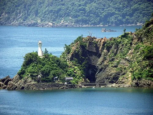 Obama City, Obama-shi29 km S
-
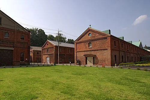 Maizuru City, Maizuru Shi45 km SW
-
Takahama Town, Takahama Chō31 km S
Nearby attractions & nature
Everything nearby-
 Ko-shima Island, Japan21 km W
-
Kamuri Jima Island, Kyoto23 km W
More nature in Japan
-
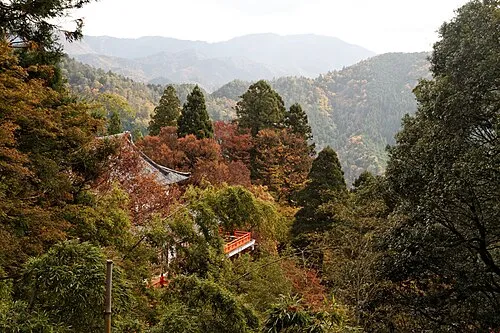 Mount Kurama Mountain, Sakyō Ku71 km S
-
 Mount Hiei Mountain, Sakyō Ku78 km S
-
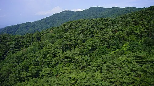 Mount Rokkō Mountain, Kita Ku114 km S
-
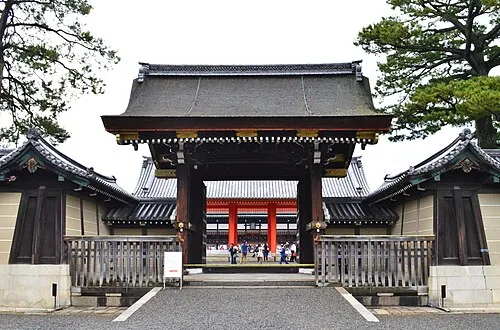 Kyoto Imperial Palace Natural site, Kamigyō Ku81 km S
-
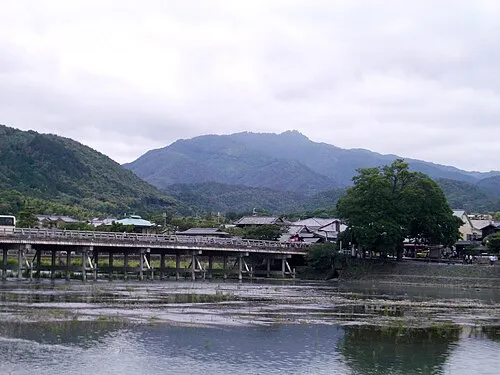 Mount Atago Mountain, Ukyō District76 km S
-
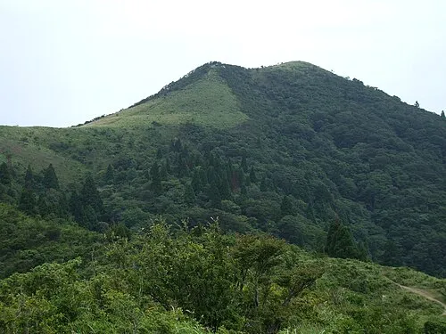 Mount Bunagatake Mountain, Ōtsu Shi58 km S
Sources & licences
Data last updated: · 2 independent sources