Jbel Moussa
Located in Tanger-Tetouan-Al Hoceima, Morocco Coordinates: 35°53′53″ N 5°24′39″ W

- Elevation
- 851 m
- above sea level
- Local time
- UTC+00:00
- Africa/Casablanca · UTC+00:00
- Airports
- GIB Gibraltar Airport29 km
- TTU Sania Ramel Airport35 km
About Jbel Moussa
Jbel Moussa is a mountain. Location: Tanger-Tetouan-Al Hoceima, Morocco. Elevation: 851 m.
Jebel Musa (Arabic: جبل موسى, Jabal Mūsā; Berber languages: Adrar n Musa; meaning "Mount Moses") is a mountain in the northernmost part of Morocco, near of the Strait of Gibraltar. Jebel Musa is part of the Rif mountain chain, and is along with nearby Monte Hacho one of the two mountains considered as candidates to be the southern Pillar of Hercules, Mons Abila (Mount Abila or Abyla).
Source: Wikipedia · CC BY-SA 4.0
Photos of Jbel Moussa
-
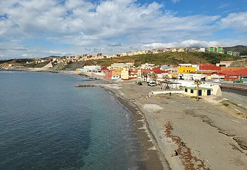
Playa de Tramaguera Xemenendura · CC BY-SA 4.0 -
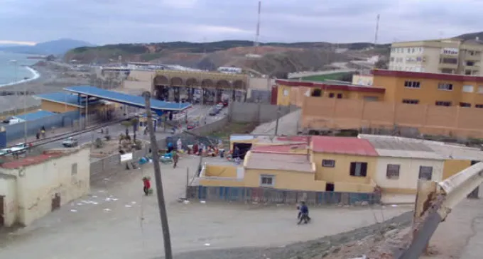
Playa del Tarajal lamarea.com · CC BY-SA 3.0 -
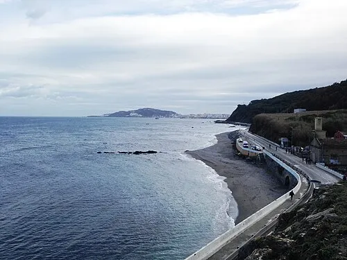
Playa de Calamocarro Thunderbolt u2 · CC BY-SA 4.0 -
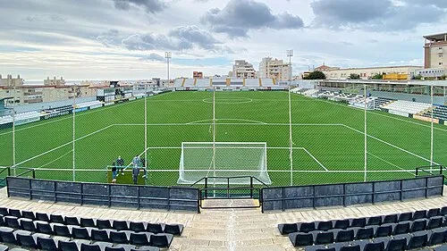
Estadio Alfonso Murube Football Stadiums · CC BY-SA 4.0


Climate of Jbel Moussa
Best months for sightseeingBest months for sightseeing: June–September.
This month · November
A wet month
Day 14° · Night 8° · Rain 108 mm
Better nearby cities in November
- Ksar El Kebir · 109 km southwest21°
- Al Hoceima · 151 km southeast20°
- Salé Al Jadida · 244 km southwest21°
- Hottest month
- August (day 24°)
- Coldest month
- January (night 4°)
- Wettest month
- December (138 mm)
- Driest month
- July (1 mm)
Bars: average monthly low and high temperature. Below: precipitation. Monthly averages for 1970–2000 at about 18 km resolution, adjusted for elevation. Highlighted months are mild and relatively dry. Source: WorldClim 2.1 (CC BY 4.0).
Show values as a table
| Month | Jan | Feb | Mar | Apr | May | Jun | Jul | Aug | Sep | Oct | Nov | Dec |
|---|---|---|---|---|---|---|---|---|---|---|---|---|
| Average high (°C) | 11° | 11° | 13° | 15° | 17° | 21° | 23° | 24° | 21° | 18° | 14° | 12° |
| Average low (°C) | 4° | 4° | 6° | 7° | 9° | 12° | 15° | 15° | 14° | 11° | 8° | 5° |
| Precipitation (mm) | 135 | 115 | 105 | 58 | 34 | 7 | 1 | 3 | 16 | 62 | 108 | 138 |
Other places to visit in this season: June July August September
How to get to Jbel Moussa
The nearest airport is Gibraltar Airport (GIB), 29 km to the north as the crow flies. The nearest large city is Algeciras, 26 km to the north.
Airports
- Gibraltar Airport (GIB) Gibraltar 29 kmnorth
- Sania Ramel Airport (TTU) Tétouan 35 kmsouth
- Tangier Ibn Battuta Airport (TNG) Tangier 50 kmwest
Nearby large cities
- Algeciras Population: 121.4K 26 kmnorth
- Tétouan Population: 415.8K 36 kmsouth
- Marbella Population: 156.3K 83 kmnortheast
- Cadiz Population: 117K 105 kmnorthwest
- Jerez de la Frontera Population: 212.9K 109 kmnorthwest
Straight-line distances; road distances are longer. Airport data: OurAirports.
Day trips from Jbel Moussa
Within 100 km: 191 historic and cultural sites, 153 natural sites, 234 lakes, rivers and coasts.
0–25 km100 places
- Playa de San Amaro Beach 10 kmE
- Playa de Benítez Beach 7 kmE
- Playa de Benzú Beach 4 kmNE
- Playa de Santa Catalina Beach 11 kmE
25–60 km152 places
- Jebel Zem Zem Mountain 30 kmSW
- Kasbah Mosque Attraction 38 kmW
- Grand Mosque of Tangier Attraction 38 kmW
- Stade Saniat Rmel Landmark 37 kmS
60–100 km326 places
- Playa de Zahora Beach 66 kmNW
- Jebel Kelti Mountain 61 kmS
- Talassemtane National Park Natural site 90 kmS
- Playa de la Barrosa Beach 85 kmNW
Straight-line distances.
Nearest towns and villages


Nearby attractions & nature
Everything nearby-
Isla Perejil Island, Spain1.8 km NW
-
Monte Anyera Mountain, Ceuta3.4 km E
-
Cerro de la Palma Mountain, Ceuta3.5 km E
-
Playa del Algarrobo Beach, Ceuta3.3 km NE
-
Loma de los Silos Mountain, Ceuta3.8 km E
-
Fuente de la Higuera Natural site, Ceuta3.8 km E
-
Arroyo de Benzú River, Ceuta3.1 km NE
-
Fuente de los Generales Natural site, Ceuta4.1 km E
More nature in Morocco
-
 Baie De Tanger Natural site, Tanger-Tetouan-Al Hoceima36 km W
-
Jebel Zem Zem Mountain, Fahs-Anjra30 km SW
-
 Cape Espartel Natural site, Tanger-Assilah48 km W
-
 Jebel Kelti Mountain, Tetouan61 km S
-
 Al Hoceima National Park Natural site, Al-Hoceima142 km SE
-
 Koudiet Tirbîrhîne Mountain, Al-Hoceima143 km SE
Sources & licences
Data last updated: · 2 independent sources