Monte dos Amantes
Located in Vila do Bispo e Raposeira, Vila do Bispo Municipality Coordinates: 37°04′03″ N 8°55′11″ W
- Elevation
- 70 m
- above sea level
- Local time
- UTC+00:00
- Europe/Lisbon · UTC+00:00
- Airports
- PRM Portimão Airport31 km
- FAO Faro - Gago Coutinho International Airport85 km
About Monte dos Amantes
Monte dos Amantes is a mountain. Location: Vila do Bispo e Raposeira, Vila do Bispo Municipality. Elevation: 70 m. The best months to visit are May–October. The nearest airport is Portimão Airport (31 km). Nearby sights include Cabo de São Vicente Lighthouse and Castelo de Lagos.
Climate of Monte dos Amantes
Best months for sightseeingBest months for sightseeing: May–October.
This month · November
Outside the best season
Day 19° · Night 12° · Rain 85 mm
- Hottest month
- August (day 25°)
- Coldest month
- January (night 9°)
- Wettest month
- November (85 mm)
- Driest month
- July (1 mm)
Bars: average monthly low and high temperature. Below: precipitation. Monthly averages for 1970–2000 at about 18 km resolution, adjusted for elevation. Highlighted months are mild and relatively dry. Source: WorldClim 2.1 (CC BY 4.0).
Show values as a table
| Month | Jan | Feb | Mar | Apr | May | Jun | Jul | Aug | Sep | Oct | Nov | Dec |
|---|---|---|---|---|---|---|---|---|---|---|---|---|
| Average high (°C) | 16° | 16° | 18° | 18° | 20° | 23° | 25° | 25° | 24° | 21° | 19° | 17° |
| Average low (°C) | 9° | 10° | 10° | 11° | 13° | 15° | 16° | 17° | 16° | 14° | 12° | 10° |
| Precipitation (mm) | 71 | 66 | 49 | 42 | 23 | 12 | 1 | 3 | 18 | 52 | 85 | 84 |
Other places to visit in this season: May June July August September October
How to get to Monte dos Amantes
The nearest airport is Portimão Airport (PRM), 31 km to the east as the crow flies. For international flights: Faro - Gago Coutinho International Airport (FAO) (85 km). The nearest large city is Setúbal, 162 km to the north.
Airports
- Portimão Airport (PRM) Portimão 31 kmeast
- Faro - Gago Coutinho International Airport (FAO) Faro 85 kmeast
- Cascais Airport (CAT) Cascais 188 kmnorth
Nearby large cities
- Setúbal Population: 118.2K 162 kmnorth
- Huelva Population: 144.3K 177 kmeast
- Lisbon Population: 517.8K 185 kmnorth
- Cadiz Population: 117K 242 kmeast
- Jerez de la Frontera Population: 212.9K 252 kmeast
Straight-line distances; road distances are longer. Airport data: OurAirports.
Day trips from Monte dos Amantes
Within 100 km: 13 historic and cultural sites, 23 natural sites, 9 lakes, rivers and coasts.
0–25 km2 places
- Castelo de Lagos Historic site 23 kmE
- Cabo de São Vicente Lighthouse Landmark 8 kmSW
25–60 km17 places
- Praia da Marinha Beach 45 kmE
- Praia do Evaristo Beach 55 kmE
- Cabo Carvoeiro Natural site 43 kmE
- Fort of Nossa Senhora da Rocha Historic site 48 kmE
60–100 km26 places
- Roman ruins of Cerro da Vila Historic site 71 kmE
- Castelo de Loulé Historic site 80 kmE
- Estádio José Arcanjo Landmark 95 kmE
- Pessegueiro Island Island 86 kmN
Straight-line distances.
Nearest towns and villages
Nearby attractions & nature
Everything nearby-
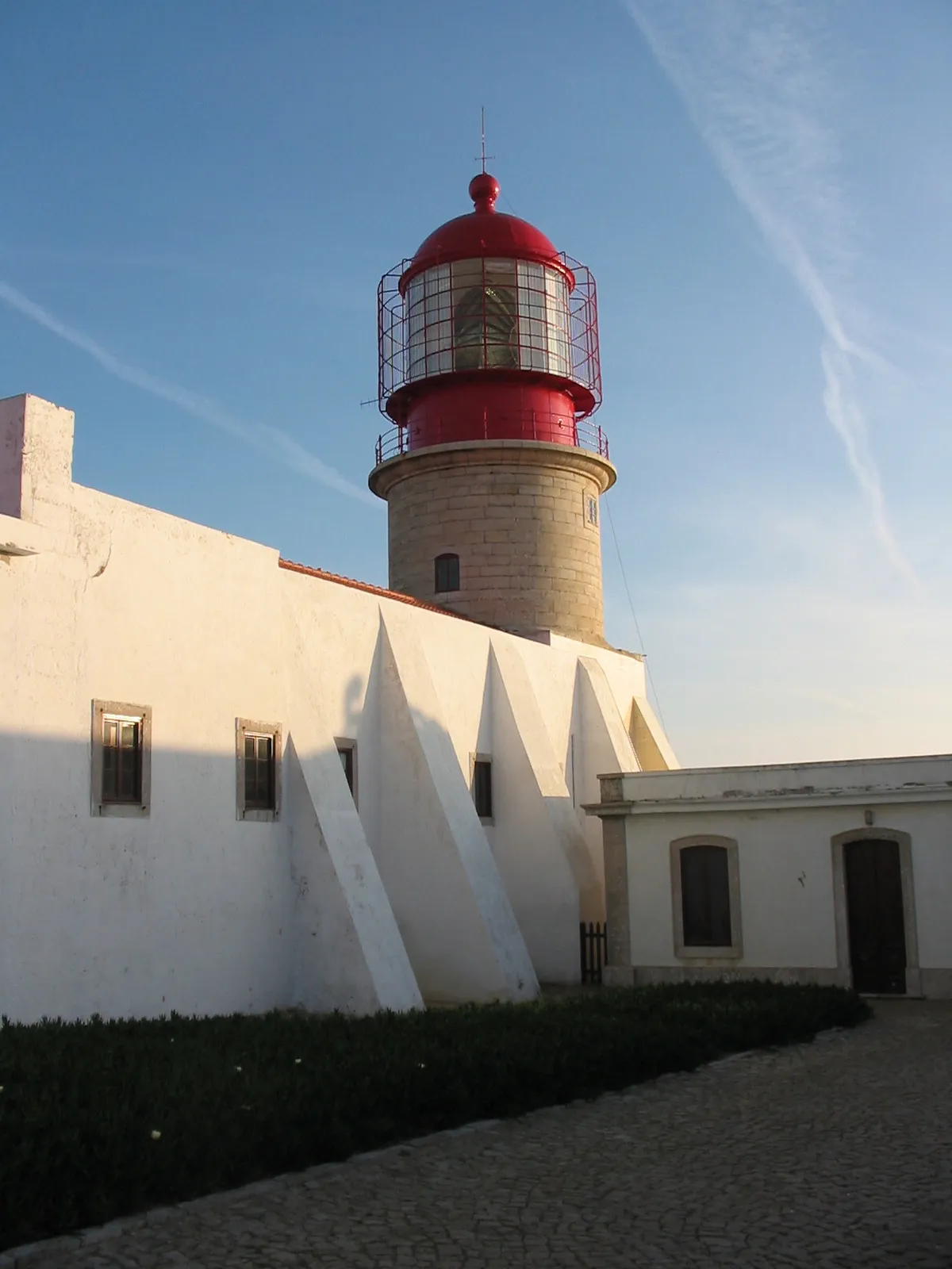 Cabo de São Vicente Lighthouse Landmark, Sagres8.4 km SW
-
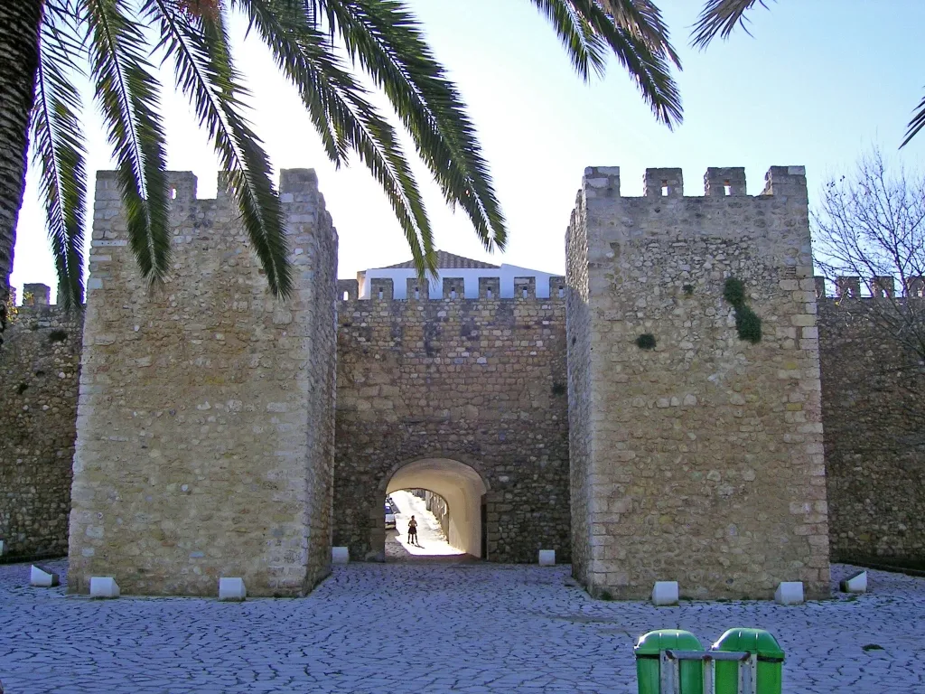 Castelo de Lagos Historic site, São Gonçalo de Lagos23 km E
Sources & licences
Data last updated: · 2 independent sources