Kırıkkale Province
Local name: Kırıkkale ili
Located in Turkey Coordinates: 39°50′00″ N 33°45′00″ E
- Population
- 277,046
- 277K
- Elevation
- 1,352 m
- above sea level
- Local time
- UTC+03:00
- Europe/Istanbul · UTC+03:00
- Places inside
- 32
- listed under Kırıkkale Province
- Airports
- ESB Esenboğa International Airport72 km
- NAV Nevşehir Kapadokya Airport136 km
About Kırıkkale Province
Kırıkkale Province is a region. Location: Turkey. Population: 277,046.
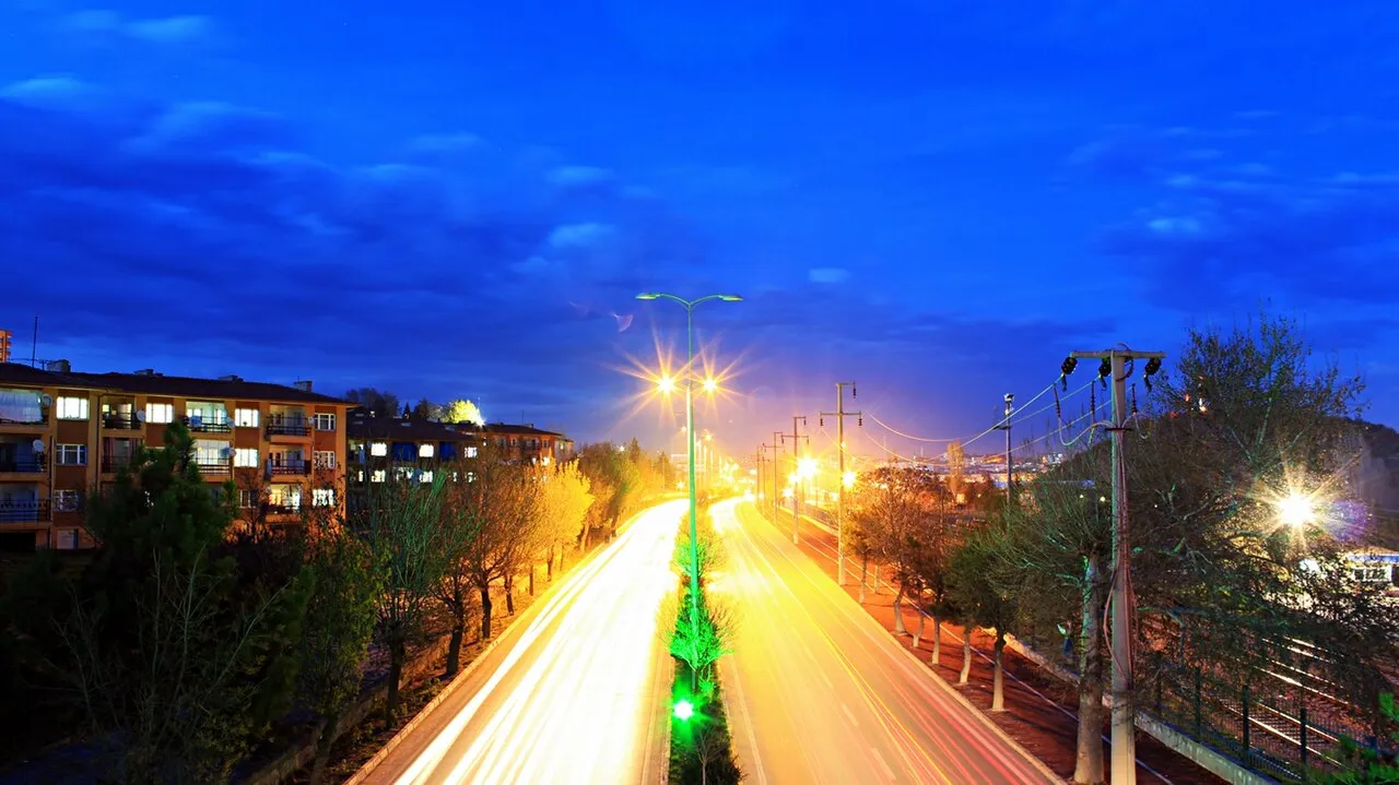
Kırıkkale Province (Turkish: Kırıkkale ili) is a province of Turkey. It is located on the crossroads of major highways east of Ankara leading east to the Black Sea region. Its area is 4,791 km2, and its population is 277,046 (2022). With its rapid population growth it has become an industrial center. The province was established in 1989 from part of Ankara Province. The provincial capital is Kırıkkale. Kırıkkale is a rapidly growing town in central Turkey, on the Ankara-Kayseri railway near the Kızılırmak River.
Source: Wikipedia · CC BY-SA 4.0
Places bordering Kırıkkale Province
- Çankırı Province
- Çorum Province
- Yozgat Province
- Kırşehir Province
- Ankara Province
Climate of Kırıkkale Province
Best months for sightseeingBest months for sightseeing: June–September.
This month · November
A cold month
Day 9° · Night 0° · Rain 37 mm
Better nearby cities in November
- Tarsus · 339 km south22°
- Mersin · 345 km south22°
- Adana · 345 km southeast21°
- Hottest month
- July (day 26°)
- Coldest month
- January (night -6°)
- Wettest month
- May (59 mm)
- Driest month
- August (8 mm)
Bars: average monthly low and high temperature. Below: precipitation. Monthly averages for 1970–2000 at about 18 km resolution, adjusted for elevation. Highlighted months are mild and relatively dry. Source: WorldClim 2.1 (CC BY 4.0).
Show values as a table
| Month | Jan | Feb | Mar | Apr | May | Jun | Jul | Aug | Sep | Oct | Nov | Dec |
|---|---|---|---|---|---|---|---|---|---|---|---|---|
| Average high (°C) | 1° | 3° | 9° | 14° | 19° | 23° | 26° | 26° | 23° | 16° | 9° | 3° |
| Average low (°C) | -6° | -5° | -2° | 3° | 7° | 10° | 12° | 12° | 9° | 4° | 0° | -4° |
| Precipitation (mm) | 48 | 42 | 41 | 52 | 59 | 36 | 13 | 8 | 15 | 28 | 37 | 57 |
Other places to visit in this season: June July August September
How to get to Kırıkkale Province
The nearest airport is Esenboğa International Airport (ESB), 72 km to the northwest as the crow flies. The nearest large city is Kirikkale, 21 km to the west.
Airports
- Esenboğa International Airport (ESB) Ankara 72 kmnorthwest
- Nevşehir Kapadokya Airport (NAV) Nevşehir 136 kmsoutheast
- Kastamonu Airport (KFS) Kastamonu 164 kmnorth
Nearby large cities
- Kirikkale Population: 187K 21 kmwest
- Çankaya Population: 792.2K 76 kmwest
- Ankara Population: 3.5M 77 kmwest
- Gölbaşı Population: 165.2K 81 kmwest
- Kırşehir Population: 150.7K 84 kmsoutheast
Straight-line distances; road distances are longer. Airport data: OurAirports.
Places in Kırıkkale Province
32 places- 1 Keskin İlçesi 20.1K
- 2 Yahşihan İlçesi 19.5K
- 3 Delice İlçesi 10.1K
- 4 Sulakyurt İlçesi 7.8K
- 5 Bahşılı İlçesi 7K
- 6 Balışeyh İlçesi 6.6K
- 7 Karakeçili İlçesi 4.4K
- 8 Çelebi İlçesi 3.2K
Bar: population relative to the most populous place in this list.
Countries & regions1
- Kirikkale · District
Cities & villages10
- Bahşılı Bucağı · Municipality
- Balışeyh Bucağı · Municipality
- Çelebi Bucağı · Municipality
- Delice Bucağı · Municipality
- Karakeçili Bucağı · Municipality
- Keskin Bucağı · Municipality
- Kırıkkale Bucağı · Municipality
- Mahmutlarşarklısı · Village
- Sulakyurt Bucağı · Municipality
- Yahşihan Bucağı · Municipality
Mountains & nature8
- Belyol Çeşmesi · Natural site
- Çifte Tepe · Mountain
- Eski Pınar · Natural site
- Helveren Çeşmesi · Natural site
- Karpuz Tepesi · Mountain
- Kışlabağ Tepesi · Mountain
- Kusalan Çeşmesi · Natural site
- Sarısak Çeşmesi · Natural site
Lakes, rivers & coasts5
- Akkosan · River
- Çoruközü Deresi · River
- Esatözü Deresi · River
- Karapınar Deresi · River
- Özderesi · River
Largest cities and towns
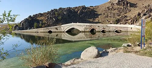
Nature and heritage in Kırıkkale Province
Sources & licences
Data last updated: · 2 independent sources