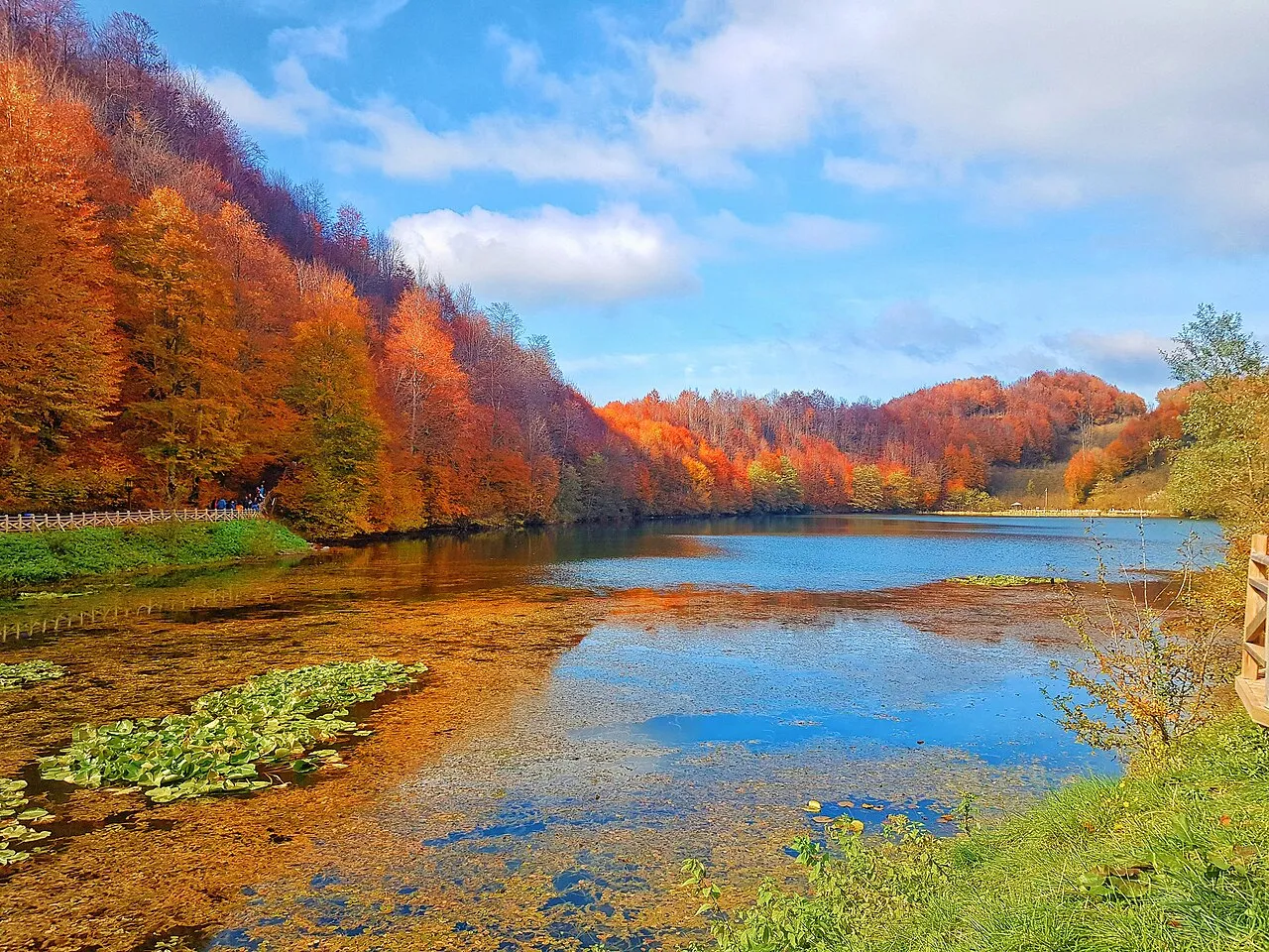
- Population
- 763,190
- 763.2K
- Elevation
- 0 m
- above sea level
- Local time
- UTC+03:00
- Europe/Istanbul · UTC+03:00
- Places inside
- 91
- listed under Ordu
- Airports
- OGU Ordu–Giresun Airport34 km
- SZF Samsun-Çarşamba Airport101 km
About Ordu
Ordu is a region. Location: Turkey. Population: 763,190.
Ordu Province (Turkish: Ordu ili) is a province and metropolitan municipality of Turkey, located on the Black Sea coast. Its area is 5,914 km2, and its population is 763,190 (2022). Its adjacent provinces are Samsun to the northwest, Tokat to the southwest, Sivas to the south, and Giresun to the east. Its license-plate code is 52. The capital of the province is the city of Ordu.
Source: Wikipedia · CC BY-SA 4.0
Photos of Ordu
-

Reego41 · CC BY-SA 4.0 -

Yazar Haber · CC BY-SA 4.0 -

Aysu Aydın · CC BY-SA 4.0 -

Yazar Haber · CC BY-SA 4.0 -
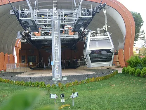
Boz Tepe Giorgi Balakhadze · CC BY-SA 3.0


Places bordering Ordu
Climate of Ordu
Best months for sightseeingBest months for sightseeing: May–October.
This month · November
Outside the best season
Day 16° · Night 8° · Rain 99 mm
- Hottest month
- August (day 27°)
- Coldest month
- January (night 3°)
- Wettest month
- October (103 mm)
- Driest month
- July (51 mm)
Bars: average monthly low and high temperature. Below: precipitation. Monthly averages for 1970–2000 at about 18 km resolution, adjusted for elevation. Highlighted months are mild and relatively dry. Source: WorldClim 2.1 (CC BY 4.0).
Show values as a table
| Month | Jan | Feb | Mar | Apr | May | Jun | Jul | Aug | Sep | Oct | Nov | Dec |
|---|---|---|---|---|---|---|---|---|---|---|---|---|
| Average high (°C) | 10° | 11° | 12° | 17° | 21° | 24° | 26° | 27° | 24° | 20° | 16° | 12° |
| Average low (°C) | 3° | 3° | 5° | 9° | 13° | 16° | 19° | 19° | 16° | 12° | 8° | 5° |
| Precipitation (mm) | 80 | 66 | 68 | 76 | 66 | 70 | 51 | 52 | 67 | 103 | 99 | 99 |
Other places to visit in this season: May June July August September October
How to get to Ordu
The nearest airport is Ordu–Giresun Airport (OGU), 34 km to the east as the crow flies. The nearest large city is Ordu, 19 km to the northeast.
Airports
- Ordu–Giresun Airport (OGU) Ordu 34 kmeast
- Samsun-Çarşamba Airport (SZF) Samsun 101 kmnorthwest
- Tokat Airport (TJK) Tokat 127 kmsouthwest
Nearby large cities
- Ordu Population: 229.2K 19 kmnortheast
- Giresun Population: 125.7K 59 kmeast
- Tokat Province Population: 129.7K 116 kmsouthwest
- Samsun Population: 394K 121 kmwest
- Sivas Population: 264K 141 kmsouthwest
Straight-line distances; road distances are longer. Airport data: OurAirports.
Places in Ordu
91 places- 1 Altınordu 186.1K
- 2 Ünye İlçesi 118.2K
- 3 Fatsa İlçesi 106K
- 4 Gölköy İlçesi 32.8K
- 5 Korgan İlçesi 32.4K
- 6 Kumru İlçesi 32.3K
- 7 Perşembe İlçesi 32.1K
- 8 Aybastı İlçesi 24.2K
- 9 Akkuş 21.3K
- 10 Ulubey İlçesi 20.9K
- 11 Mesudiye İlçesi 17K
- 12 İkizce İlçesi 16.7K
- 13 Gürgentepe İlçesi 16.2K
- 14 Çaybaşı İlçesi 15.2K
- 15 Çatalpınar İlçesi 14.7K
- 16 Kabataş İlçesi 12.3K
- 17 Gülyalı İlçesi 9.1K
- 18 Kabadüz İlçesi 8.3K
- 19 Çamaş İlçesi 7.8K
- 20 Akçay 932
Bar: population relative to the most populous place in this list.
Cities & villages18
- Akkuş Bucağı · Municipality
- Ambartepe · Village
- Aybastı Bucağı · Municipality
- Bolaman Bucağı · Municipality
- Çaltı · Village
- Çamaş Bucağı · Municipality
- Çatalpınar Bucağı · Municipality
- Çaybaşı Bucağı · Municipality
- Ceyhanlı · Village
- Döngeri · Village
- Dumnaçökek · Village
- Fatsa Bucağı · Municipality
- Gölköy Bucağı · Municipality
- Gülyalı Bucağı · Municipality
- Gürgentepe Bucağı · Municipality
- Kabadüz Bucağı · Municipality
- Kabataş Bucağı · Municipality
- Kargı · Village
Mountains & nature4
- Canik Dağları · Mountain
- Fatsa Körfezi · Natural site
- Giresun Dağları · Mountain
- İğdir Ormanları · Natural site
Lakes, rivers & coasts18
- Alaçayır Deresi · River
- Armutkolu Çayı · River
- Aybastı Çayı · River
- Bolaman Çayı · River
- Çaka Deresi · River
- Çalış Deresi · River
- Çamalan Deresi · River
- Ceviz Deresi · River
- Curi Deresi · River
- Elekçi Irmağı · River
- Eriklik Deresi · River
- Gaçalı Dere · River
- Ilıca Irmağı · River
- Kara Dere · River
- Karakoyun Çayı · River
- Karakuş Çayı · River
- Kavaklar Deresi · River
- Kavranbeli Deresi · River
Largest cities and towns
-
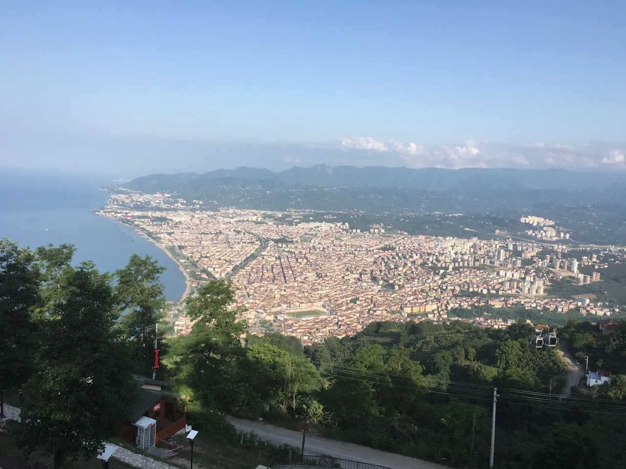 Ordu City, Altınordu229.2K
-
Kumru City, Kumru İlçesi32.2K
-
Çatalpınar City, Çatalpınar İlçesi15K
-
Fatsa City, Fatsa İlçesi82.2K
-
Kabataş City, Kabataş İlçesi9.1K
-
Ünye City, Ünye İlçesi77.6K
-
Mesudiye City, Mesudiye İlçesi6.6K
-
Gürgentepe City, Gürgentepe İlçesi18.8K
Nature and heritage in Ordu
Sources & licences
Data last updated: · 2 independent sources