Fuensaldaña
Located in Valladolid, Castille and León Coordinates: 41°42′47″ N 4°44′45″ W
- Population
- 1,435
- 1.4K
- Elevation
- 791 m
- above sea level
- Local time
- UTC+01:00
- Europe/Madrid · UTC+01:00
- Places inside
- 2
- listed under Fuensaldaña
- Airports
- VLL Valladolid Airport9 km
- SLM Salamanca Airport106 km
About Fuensaldaña
Fuensaldaña is a municipality. Location: Valladolid, Castille and León. Population: 1,435. Elevation: 791 m. The best months to visit are May–June, September–October. The nearest airport is Valladolid Airport (9 km). Nearby sights include Castillo de Mucientes and National Sculpture Museum.
Climate of Fuensaldaña
Best months for sightseeingBest months for sightseeing: May–June, September–October.
This month · November
Outside the best season
Day 12° · Night 3° · Rain 48 mm
- Hottest month
- July (day 30°)
- Coldest month
- January (night 0°)
- Wettest month
- May (52 mm)
- Driest month
- August (18 mm)
Bars: average monthly low and high temperature. Below: precipitation. Monthly averages for 1970–2000 at about 18 km resolution, adjusted for elevation. Highlighted months are mild and relatively dry. Source: WorldClim 2.1 (CC BY 4.0).
Show values as a table
| Month | Jan | Feb | Mar | Apr | May | Jun | Jul | Aug | Sep | Oct | Nov | Dec |
|---|---|---|---|---|---|---|---|---|---|---|---|---|
| Average high (°C) | 8° | 11° | 14° | 16° | 20° | 25° | 30° | 29° | 25° | 18° | 12° | 8° |
| Average low (°C) | 0° | 1° | 2° | 4° | 7° | 11° | 13° | 13° | 11° | 7° | 3° | 1° |
| Precipitation (mm) | 44 | 32 | 28 | 43 | 52 | 40 | 19 | 18 | 26 | 44 | 48 | 52 |
Other places to visit in this season: May June September October
How to get to Fuensaldaña
The nearest airport is Valladolid Airport (VLL), 9 km to the west as the crow flies. The nearest large city is Valladolid, 7 km to the south.
Airports
- Valladolid Airport (VLL) Valladolid 9 kmwest
- Salamanca Airport (SLM) Salamanca 106 kmsouthwest
- León Airport (LEN) La Virgen del Camino 123 kmnorthwest
Nearby large cities
- Valladolid Population: 300.6K 7 kmsouth
- Burgos Population: 176.4K 111 kmnortheast
- Salamanca Population: 144.8K 113 kmsouthwest
- León Population: 124.8K 120 kmnorthwest
- Alcobendas Population: 116K 159 kmsoutheast
Straight-line distances; road distances are longer. Airport data: OurAirports.
Day trips from Fuensaldaña
Within 100 km: 154 historic and cultural sites, 56 natural sites, 268 lakes, rivers and coasts.
0–25 km61 places
- Montes de Torozos Natural site 12 kmNW
- Campo Grande Natural site 8 kmS
- Parque Covaresa Natural site 11 kmS
- Entorno del Lago Natural site 14 kmS
25–60 km143 places
- Valdeherrera Mountain 44 kmE
- Fuente La Fraila Natural site 56 kmE
- Fuente de Jarrubia / Isarrubia Natural site 57 kmE
- Fuente de los Enfermos Natural site 57 kmE
60–100 km274 places
- Embalse de Ricobayo Lake 93 kmW
- Embalse del Esla Lake 99 kmW
- Rubio Mountain 86 kmE
- Cuchillejo Mountain 65 kmE
Straight-line distances.
Places in Fuensaldaña
2 placesBar: population relative to the most populous place in this list.
Heritage & sights1
- Castillo de Fuensaldaña · Historic site
Nearby attractions & nature
Everything nearby-
Castillo de Mucientes Historic site, Mucientes3.7 km NW
-
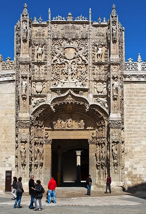 National Sculpture Museum Museum, Valladolid6.5 km S
-
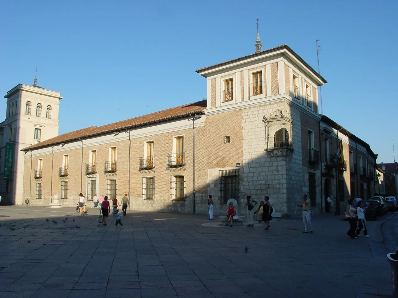 Palacio de Pimentel Historic site, Valladolid6.5 km S
-
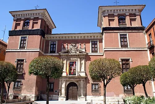 Palacio de Fabio Nelli Historic site, Valladolid6.5 km S
-
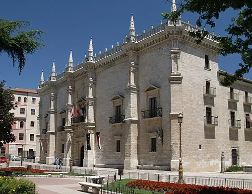 Santa Cruz Palace Historic site, Valladolid7.2 km S
-
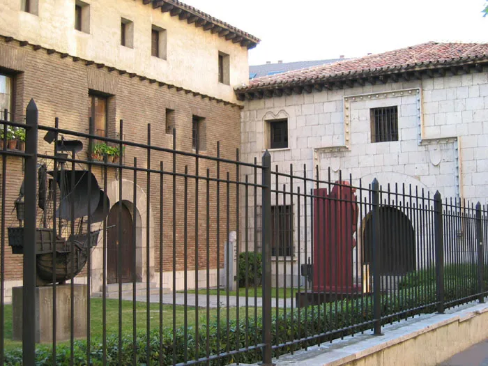 Christopher Columbus Museum Museum, Valladolid7 km S
-
Río Esgueva River, Spain5.5 km SE
-
Colegio de San Gregorio Museum, Valladolid6.5 km S
Sources & licences
Data last updated: