Culemborg Municipality
Local name: Culemborg
Located in Gelderland, The Netherlands Coordinates: 51°56′41″ N 5°12′34″ E
- Population
- 29,121
- 29.1K
- Elevation
- 2 m
- above sea level
- Local time
- UTC+01:00
- Europe/Amsterdam · UTC+01:00
- Places inside
- 1
- listed under Culemborg Municipality
About Culemborg Municipality
Culemborg Municipality is a district. Location: Gelderland, The Netherlands. Population: 29,121.
Culemborg (Dutch pronunciation: [ˈkyləmbɔr(ə)x] ) is a municipality and a city in the centre of the Netherlands, in the province of Gelderland. The city had a population of 29,386 on 1 January 2022 and is situated just south of the Lek river. Direct train lines run from the railway station towards the cities of Utrecht and Den Bosch, via the near railway bridge.
Read more on Wikipedia Text: Wikipedia contributors · CC BY-SA 4.0 · shortened
At a glance
- Area
- 31.1 km²
Source: Wikidata
Places in Culemborg Municipality
1 place-
Culemborg Town26.8K
Nearby attractions & nature
Everything nearby-
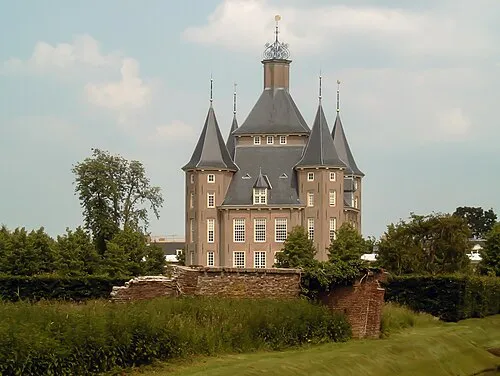 Kasteel Heemstede Historic site, Gemeente Houten11 km NW
-
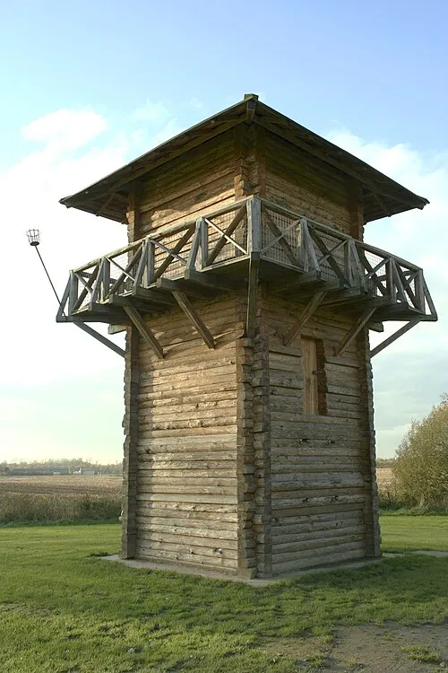 Fectio Historic site, Bunnik Municipality13 km N
-
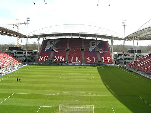 Stadion Galgenwaard Landmark, Gemeente Utrecht16 km N
-
 Museum Catharijneconvent Museum, Gemeente Utrecht17 km N
-
 Jacobikerk Attraction, Gemeente Utrecht18 km N
-
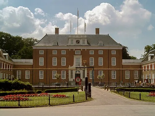 Slot Zeist Historic site, Gemeente Zeist15 km N
Sources & licences
Data last updated: · 2 independent sources