's Gravenmoer
Located in Dongen Municipality, North Brabant Coordinates: 51°39′21″ N 4°56′27″ E
- Population
- 2,315
- 2.3K
- Elevation
- 3 m
- above sea level
- Local time
- UTC+01:00
- Europe/Amsterdam · UTC+01:00
- Airports
- EIN Eindhoven Airport38 km
- RTM Rotterdam The Hague Airport48 km
About 's Gravenmoer
's Gravenmoer is a village. Location: Dongen Municipality, North Brabant. Population: 2,315. Elevation: 3 m.
's Gravenmoer is a village in the Dutch province of North Brabant. It is located in the municipality of Dongen, about 3 km north of the town of Dongen. The village has a population of about 2190 inhabitants, including the farmlands to the north of the village.
Source: Wikipedia · CC BY-SA 4.0
At a glance
- Area
- 5.2 km²
Source: Wikidata
Climate of 's Gravenmoer
Best months for sightseeingBest months for sightseeing: June–August.
This month · November
A cold month
Day 9° · Night 3° · Rain 78 mm
- Hottest month
- August (day 23°)
- Coldest month
- February (night 0°)
- Wettest month
- November (78 mm)
- Driest month
- April (47 mm)
Bars: average monthly low and high temperature. Below: precipitation. Monthly averages for 1970–2000 at about 18 km resolution, adjusted for elevation. Highlighted months are mild and relatively dry. Source: WorldClim 2.1 (CC BY 4.0).
Show values as a table
| Month | Jan | Feb | Mar | Apr | May | Jun | Jul | Aug | Sep | Oct | Nov | Dec |
|---|---|---|---|---|---|---|---|---|---|---|---|---|
| Average high (°C) | 6° | 6° | 10° | 13° | 18° | 20° | 23° | 23° | 19° | 15° | 9° | 7° |
| Average low (°C) | 0° | 0° | 2° | 4° | 8° | 10° | 12° | 12° | 10° | 7° | 3° | 1° |
| Precipitation (mm) | 68 | 51 | 66 | 47 | 60 | 74 | 71 | 60 | 75 | 74 | 78 | 75 |
How to get to 's Gravenmoer
The nearest airport is Eindhoven Airport (EIN), 38 km to the southeast as the crow flies. The nearest large city is Breda, 14 km to the southwest.
Airports
- Eindhoven Airport (EIN) Eindhoven 38 kmsoutheast
- Rotterdam The Hague Airport (RTM) Rotterdam 48 kmnorthwest
- Antwerp International Airport (Deurne) (ANR) Antwerp 62 kmsouthwest
Nearby large cities
- Breda Population: 184.1K 14 kmsouthwest
- Tilburg Population: 221.9K 15 kmsoutheast
- Dordrecht Population: 119.3K 25 kmnorthwest
- 's-Hertogenbosch Population: 160.8K 26 kmeast
- Rotterdam Population: 868.1K 44 kmnorthwest
Straight-line distances; road distances are longer. Airport data: OurAirports.
Nearby attractions & nature
Everything nearby-
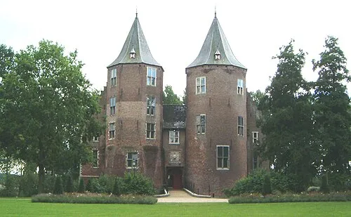 Kasteel Dussen Historic site, Altena8.9 km N
-
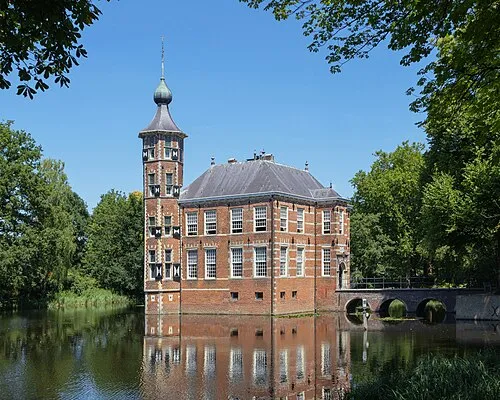 Kasteel Bouvigne Historic site, Breda Municipality15 km SW
-
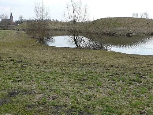 Kleine Schans Historic site, Drimmelen Municipality14 km W
-
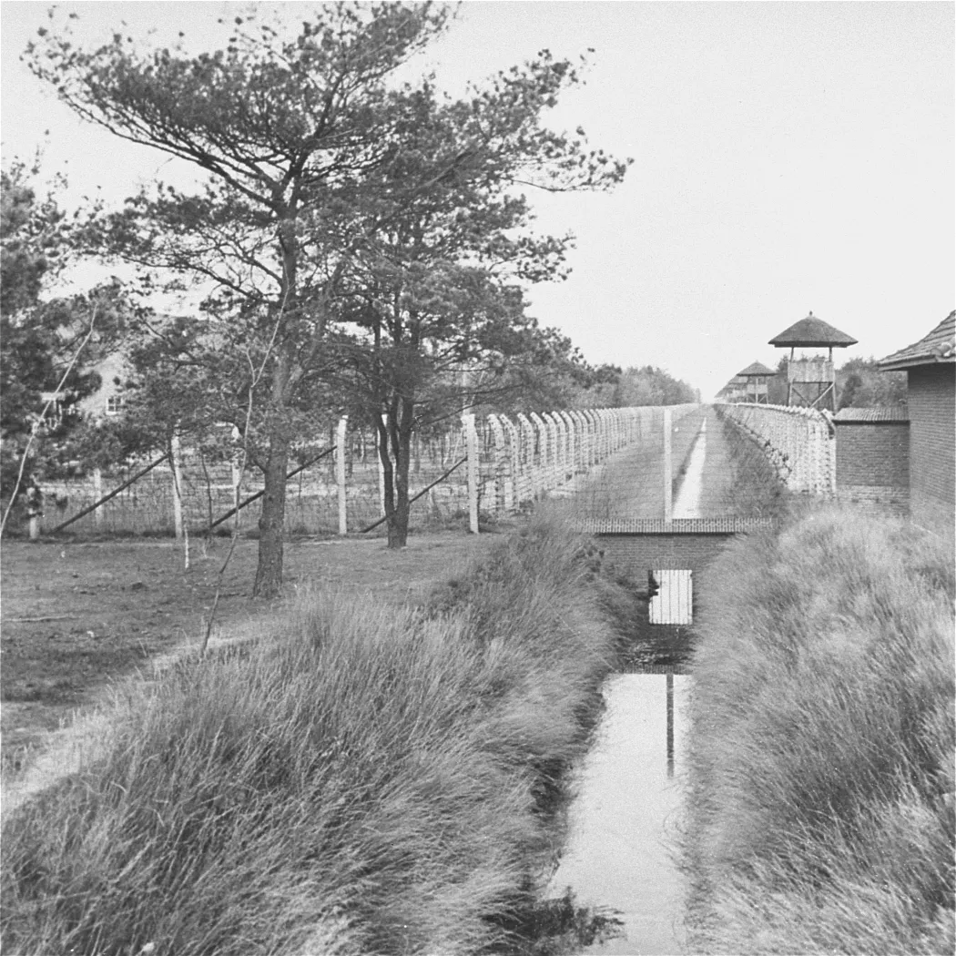 Herzogenbusch Concentration Camp Historic site, Gemeente Vught22 km E
-
Houtberg Mountain, Gemeente Goirle18 km S
-
Fluitberg Mountain, Alphen-Chaam Municipality19 km S
Sources & licences
Data last updated: · 2 independent sources