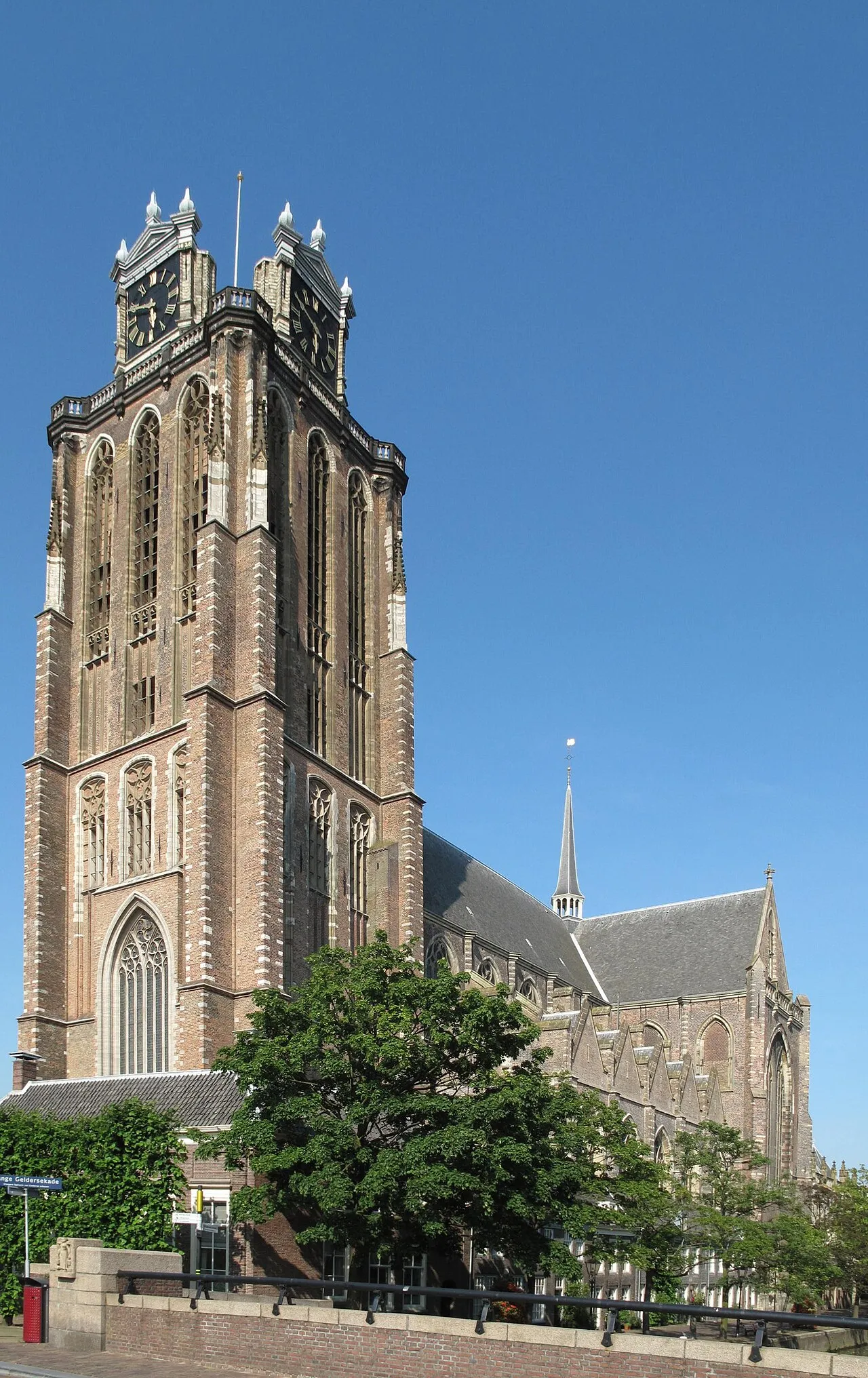
- Population
- 119,260
- 119.3K
- Elevation
- 3 m
- above sea level
- Local time
- UTC+01:00
- Europe/Amsterdam · UTC+01:00
- Airports
- RTM Rotterdam The Hague Airport23 km
- AMS Amsterdam Airport Schiphol56 km
About Dordrecht
Dordrecht is a city. Location: Dordrecht Municipality, South Holland. Population: 119,260. Elevation: 3 m. The best months to visit are June–August. The nearest airport is Rotterdam The Hague Airport (23 km). Nearby sights include Dordrechts Museum and Erasmusbrug.
Photos of Dordrecht
-

Paul van de Velde · CC BY 2.0 -

Paul van de Velde · CC BY 2.0 -
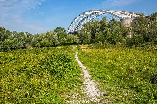
Eiland van Brienenoord GraphyArchy · CC BY-SA 4.0 -
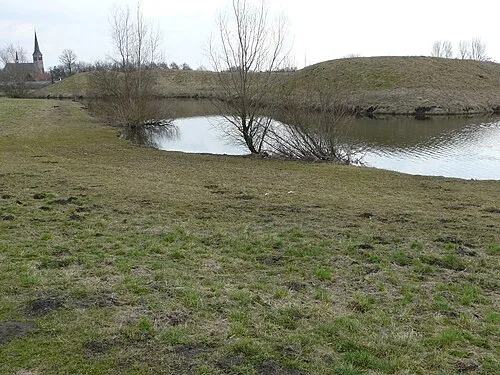
Kleine Schans G.Lanting · CC BY-SA 3.0 -
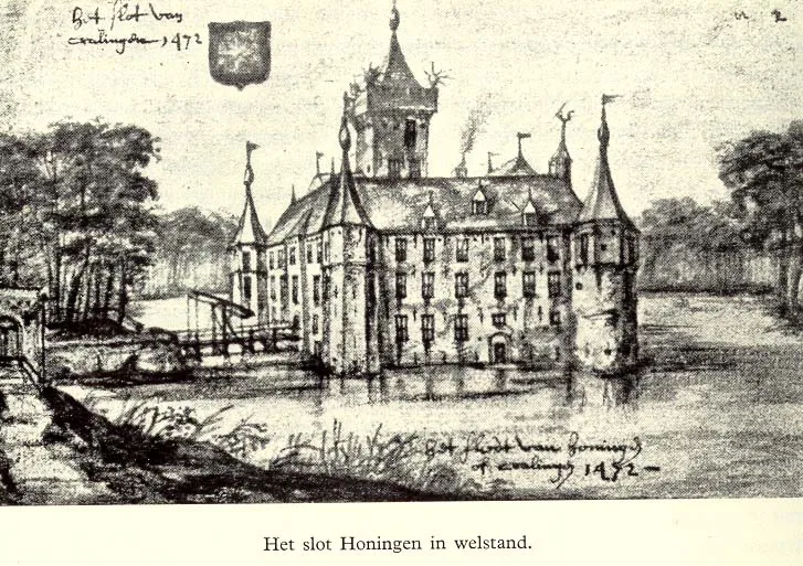
Slot Honingen Unknown author Unknown author · Public domain


Travel notes for Dordrecht
From Wikivoyage
Dordrecht is a historic city in South Holland, Netherlands that was, at the end of the Middle Ages, one of the six important trade cities of the County of Holland. Its centre still shows off the rich history of the city.
Understand+
Dordrecht is a really old city that grew wealthy on its position at a river confluence with important commercial, military and private boat building. It held significant regional and international importance, hosting the 'Synod of Dordrecht' and other important religious meetings.
Thankfully, it escaped much of the widespread destruction of the Second World War. Consequently, it is brimming with interesting old architecture and displays an old-time sense of wealth that belies the peaceful and laid-back character of its modern-day economic relaxation. The locals are educated and generally proud of their city, which is the sort of place to wander around and explore leisurely, rather than rushing in and out.
1 VVV Dordrecht (Tourist information), Spuiboulevard 99, ☏ +31 900 4636888. Mon 12:00-18:00, Tue-Fri 09:00-18:00, Sat 10:00-18:00. (updated Jun 2016)
Get in+
By rail:
1 Dordrecht railway station. A direct rail service from Rotterdam Centraal and Rotterdam Blaak takes about 15 minutes. There is a direct service from Amsterdam Centraal via The Hague and Rotterdam Centraal with the terminus in Dordrecht. There is also a direct service from Gorinchem, Roosendaal and Breda. (updated Mar 2024)
By boat:
There is a fast ferry (waterbus) from Rotterdam, which is part of the public transport system and costs the same as the train.
By car:
Two important highways go to and through Dordrecht. A16 from Rotterdam to Belgium border and N3 from Papendrecht to the A16 in Dordrecht.
Source: Wikivoyage · CC BY-SA 4.0 · abridged
Climate of Dordrecht
Best months for sightseeingBest months for sightseeing: June–August.
This month · November
A cold month
Day 10° · Night 4° · Rain 83 mm
- Hottest month
- August (day 22°)
- Coldest month
- February (night 0°)
- Wettest month
- November (83 mm)
- Driest month
- April (47 mm)
Bars: average monthly low and high temperature. Below: precipitation. Monthly averages for 1970–2000 at about 18 km resolution, adjusted for elevation. Highlighted months are mild and relatively dry. Source: WorldClim 2.1 (CC BY 4.0).
Show values as a table
| Month | Jan | Feb | Mar | Apr | May | Jun | Jul | Aug | Sep | Oct | Nov | Dec |
|---|---|---|---|---|---|---|---|---|---|---|---|---|
| Average high (°C) | 6° | 6° | 10° | 13° | 17° | 20° | 22° | 22° | 19° | 14° | 10° | 7° |
| Average low (°C) | 1° | 0° | 2° | 4° | 8° | 11° | 13° | 12° | 10° | 7° | 4° | 2° |
| Precipitation (mm) | 68 | 52 | 70 | 47 | 57 | 70 | 71 | 59 | 74 | 78 | 83 | 77 |
How to get to Dordrecht
The nearest airport is Rotterdam The Hague Airport (RTM), 23 km to the northwest as the crow flies. The nearest large city is Rotterdam, 18 km to the northwest.
Airports
- Rotterdam The Hague Airport (RTM) Rotterdam 23 kmnorthwest
- Amsterdam Airport Schiphol (AMS) Amsterdam 56 kmnorth
- Eindhoven Airport (EIN) Eindhoven 63 kmsoutheast
Nearby large cities
- Rotterdam Population: 868.1K 18 kmnorthwest
- Breda Population: 184.1K 26 kmsouth
- Zoetermeer Population: 115.8K 30 kmnorthwest
- The Hague Population: 474.3K 39 kmnorthwest
- Tilburg Population: 221.9K 40 kmsoutheast
Straight-line distances; road distances are longer. Airport data: OurAirports.
Day trips from Dordrecht
Within 100 km: 214 historic and cultural sites, 252 natural sites, 339 lakes, rivers and coasts.
0–25 km18 places
- IJsselmonde Island 13 kmNW
- Eiland van Brienenoord Island 14 kmNW
- Moordeich Concentration Camp Historic site 12 kmS
- Sabina Henrica Fort Historic site 24 kmSW
25–60 km123 places
- Putse Moer Lake 50 kmS
- Stappensven Lake 47 kmS
- Wolvenbos Natural site 55 kmS
- Wegmeerheide Natural site 50 kmSE
60–100 km664 places
- Het Eiland Island 83 kmSW
- Kleine Weel Lake 68 kmSW
- Hofstademeer Lake 92 kmS
- Grote Weel Lake 68 kmSW
Straight-line distances.
Dordrecht and similar cities
Side by side with cities of similar size in the same country: population, elevation and climate.
| Measure | Dordrecht | Leiden | Maastricht | Zoetermeer |
|---|---|---|---|---|
| Population | 119.3K | 119.7K | 122.4K | 115.8K |
| Elevation | 3 m | 6 m | 56 m | 0 m |
| Summer day (hottest month) | 22° | 21° | 23° | 21° |
| Winter night (coldest month) | 0° | 0° | 0° | 0° |
| Annual rainfall | 806 mm | 849 mm | 754 mm | 849 mm |
| Best months | Jun–Aug | Jun–Aug | Jun–Aug | Jun–Aug |
| Distance | — | 41 km | 128 km | 30 km |
Climate values are 1970–2000 monthly averages; straight-line distance.
Nearby attractions & nature
Everything nearby-
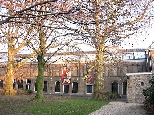 Dordrechts Museum Museum, Dordrecht Municipality0.5 km N
-
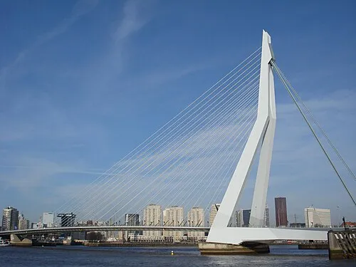 Erasmusbrug Landmark, Rotterdam Municipality17 km NW
-
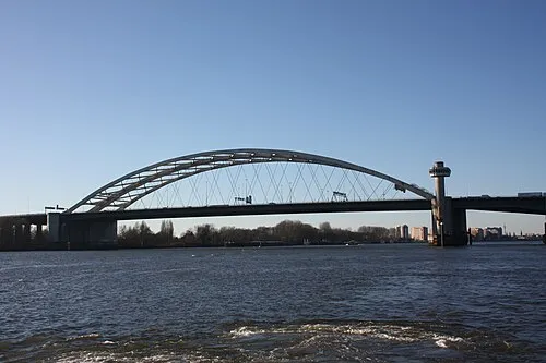 Van Brienenoordbrug Landmark, Rotterdam Municipality14 km NW
-
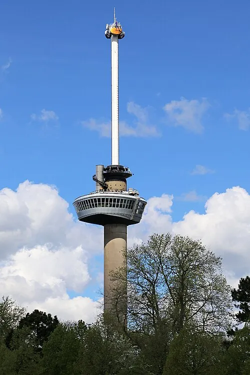 Euromast Landmark, Rotterdam Municipality18 km NW
-
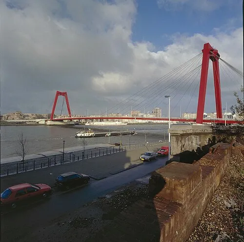 Willemsbrug Landmark, Rotterdam Municipality17 km NW
-
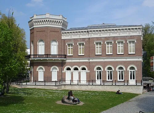 Natuurhistorisch Museum Rotterdam Museum, Rotterdam Municipality18 km NW
-
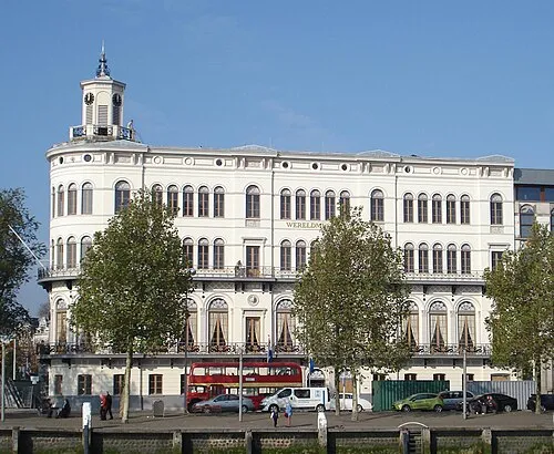 Wereldmuseum Rotterdam Museum, Rotterdam Municipality17 km NW
-
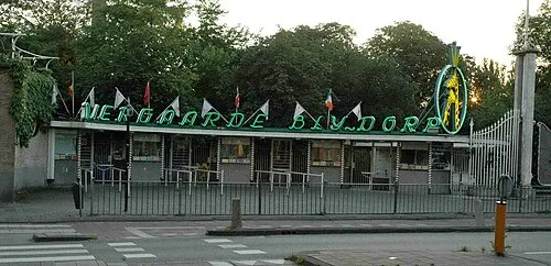 Diergaarde Blijdorp Attraction, Rotterdam Municipality20 km NW
Sources & licences
Data last updated: