
- Population
- 7,291
- 7.3K
- Elevation
- 0 m
- above sea level
- Local time
- UTC+01:00
- Europe/Amsterdam · UTC+01:00
- Airports
- RTM Rotterdam The Hague Airport18 km
- AMS Amsterdam Airport Schiphol46 km
About Lekkerkerk
Lekkerkerk is a village. Location: Krimpenerwaard, South Holland. Population: 7,291. Elevation: 0 m.
Lekkerkerk is a town and former municipality on the Lek River, now part of the municipality of Krimpenerwaard, South Holland province, the Netherlands. Since 1 January 1985 Lekkerkerk is no longer an independent municipality. Lekkerkerk is mostly an agricultural community with its housing, including attractive 17th, 18th, and 19th century farms, stretched out on the dike along the Lek River. Near the Reformed Church (Johanneskerk), the development is denser and forms the town centre.
Source: Wikipedia · CC BY-SA 4.0
Population of Lekkerkerk over time
| 1859 | 2,107 | |
|---|---|---|
| 1869 | 2,677 | |
| 1879 | 2,952 | |
| 1889 | 3,374 | |
| 1899 | 3,557 | |
| 1909 | 3,767 | |
| 1920 | 4,103 | |
| 1930 | 4,369 | |
| 1947 | 4,970 | |
| 1960 | 5,516 | |
| 1971 | 6,627 | |
| 1980 | 7,291 |
Censuses and official estimates; source: Wikidata.
Climate of Lekkerkerk
Best months for sightseeingBest months for sightseeing: June–August.
This month · November
A cold month
Day 9° · Night 3° · Rain 87 mm
- Hottest month
- August (day 22°)
- Coldest month
- February (night 0°)
- Wettest month
- November (87 mm)
- Driest month
- April (46 mm)
Bars: average monthly low and high temperature. Below: precipitation. Monthly averages for 1970–2000 at about 18 km resolution, adjusted for elevation. Highlighted months are mild and relatively dry. Source: WorldClim 2.1 (CC BY 4.0).
Show values as a table
| Month | Jan | Feb | Mar | Apr | May | Jun | Jul | Aug | Sep | Oct | Nov | Dec |
|---|---|---|---|---|---|---|---|---|---|---|---|---|
| Average high (°C) | 6° | 6° | 9° | 12° | 17° | 20° | 22° | 22° | 19° | 14° | 9° | 7° |
| Average low (°C) | 0° | 0° | 2° | 4° | 8° | 10° | 12° | 12° | 10° | 7° | 3° | 2° |
| Precipitation (mm) | 69 | 52 | 70 | 46 | 55 | 72 | 71 | 59 | 76 | 82 | 87 | 79 |
How to get to Lekkerkerk
The nearest airport is Rotterdam The Hague Airport (RTM), 18 km to the west as the crow flies. The nearest large city is Dordrecht, 10 km to the south.
Airports
- Rotterdam The Hague Airport (RTM) Rotterdam 18 kmwest
- Amsterdam Airport Schiphol (AMS) Amsterdam 46 kmnorth
- Eindhoven Airport (EIN) Eindhoven 69 kmsoutheast
Nearby large cities
- Dordrecht Population: 119.3K 10 kmsouth
- Rotterdam Population: 868.1K 14 kmwest
- Zoetermeer Population: 115.8K 22 kmnorthwest
- Leiden Population: 119.7K 32 kmnorthwest
- The Hague Population: 474.3K 33 kmnorthwest
Straight-line distances; road distances are longer. Airport data: OurAirports.
Day trips from Lekkerkerk
Within 100 km: 208 historic and cultural sites, 197 natural sites, 243 lakes, rivers and coasts.
0–25 km14 places
- IJsselmonde Island 12 kmW
- Eiland van Brienenoord Island 10 kmW
- Moordeich Concentration Camp Historic site 22 kmS
- Slot Honingen Historic site 12 kmW
25–60 km154 places
- Putse Moer Lake 60 kmS
- Stappensven Lake 57 kmS
- Wegmeerheide Natural site 59 kmS
- Hassel Bos Natural site 54 kmS
60–100 km480 places
- Het Eiland Island 91 kmSW
- Kleine Weel Lake 77 kmSW
- Grote Weel Lake 77 kmSW
- Grote Geule Lake 77 kmSW
Straight-line distances.
Nearby attractions & nature
Everything nearby-
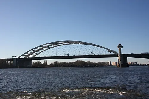 Van Brienenoordbrug Landmark, Rotterdam Municipality9.6 km W
-
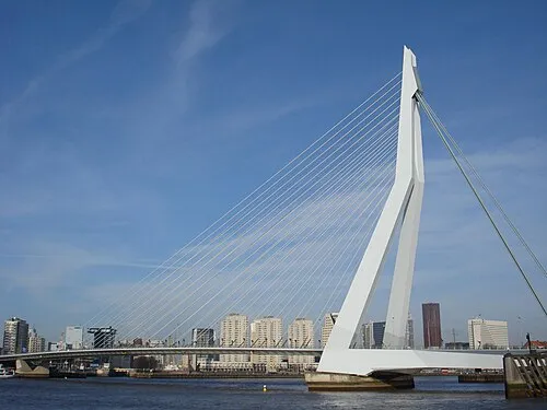 Erasmusbrug Landmark, Rotterdam Municipality13 km W
-
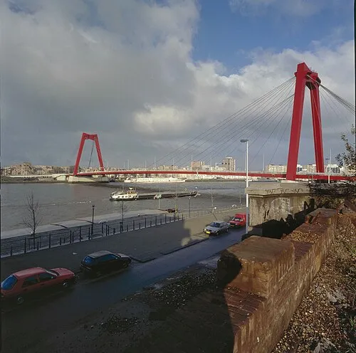 Willemsbrug Landmark, Rotterdam Municipality13 km W
-
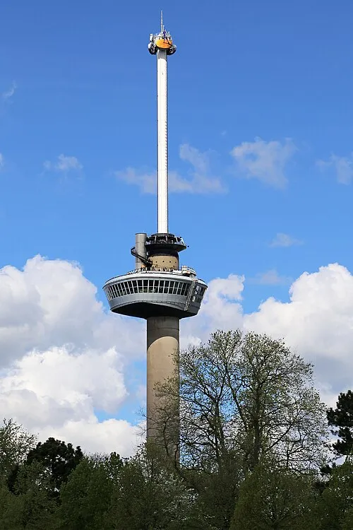 Euromast Landmark, Rotterdam Municipality15 km W
-
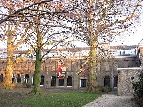 Dordrechts Museum Museum, Dordrecht Municipality9.4 km S
-
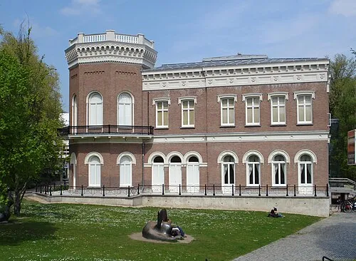 Natuurhistorisch Museum Rotterdam Museum, Rotterdam Municipality14 km W
Other cities and towns in Krimpenerwaard
-
 Ouderkerk aan den IJssel Village, Krimpenerwaard5.1 km NW
-
 Berkenwoude Village, Krimpenerwaard5.5 km N
-
 Gouderak Village, Krimpenerwaard9.6 km N
-
Ammerstol Village, Krimpenerwaard9.3 km E
-
Benedenheul Village, Krimpenerwaard7.4 km NE
-
 Stolwijk Village, Krimpenerwaard10 km NE
Sources & licences
Data last updated: · 2 independent sources