- Population
- 781,743
- 781.7K
- Elevation
- 50 m
- above sea level
- Local time
- UTC+00:00
- Europe/London · UTC+00:00
- Places inside
- 213
- listed under Leeds
- Airports
- LBA Leeds Bradford Airport11 km
- MAN Manchester Airport69 km
About Leeds
Leeds is a district. Location: England, United Kingdom. Population: 781,743.
In comparison
- 19 sights and natural places within 10 km Elland Road, Chapel Allerton Park
- Listed here: Neighbourhood: 121, Municipality: 37, Village: 33, Town: 7
Climate of Leeds
Best months for sightseeingBest months for sightseeing: June–August.
Bars: average monthly low and high temperature. Below: precipitation. Monthly averages for 1970–2000 at about 18 km resolution, adjusted for elevation. Highlighted months are mild and relatively dry. Source: WorldClim 2.1 (CC BY 4.0).
Show values as a table
| Month | Jan | Feb | Mar | Apr | May | Jun | Jul | Aug | Sep | Oct | Nov | Dec |
|---|---|---|---|---|---|---|---|---|---|---|---|---|
| Average high (°C) | 7° | 7° | 9° | 12° | 16° | 19° | 21° | 21° | 17° | 14° | 10° | 8° |
| Average low (°C) | 1° | 1° | 3° | 4° | 7° | 10° | 12° | 12° | 10° | 7° | 4° | 2° |
| Precipitation (mm) | 81 | 58 | 63 | 56 | 53 | 63 | 49 | 61 | 62 | 69 | 73 | 82 |
Airports nearest to Leeds
- Leeds Bradford Airport (LBA) Leeds, West Yorkshire 11 km
- Manchester Airport (MAN) Manchester, Greater Manchester 69 km
- Teesside International Airport (MME) Darlington, Durham 80 km
Straight-line distance; airports with scheduled flights only. Source: OurAirports (public domain).
Places in Leeds
213 places-
Cross Green Neighbourhood
-
Daffy Wood Natural site
-
Delph End Neighbourhood
-
Drighlington Municipality
-
East Ardsley Village
-
East Garforth Neighbourhood
-
East Keswick Municipality
-
Far Headingley Neighbourhood
-
Farnley Village
-
Far Royds Neighbourhood
-
Fearn's Island Neighbourhood
-
Fearnville Neighbourhood
-
Fulneck Neighbourhood
-
Gamble Hill Neighbourhood
-
Garforth Cliff Mountain
-
Gildersome Municipality
-
Gipton Neighbourhood
-
Gledhow Village
-
Graveleythorpe Neighbourhood
-
Great and Little Preston Municipality
-
Greenbottom Neighbourhood
-
Half Mile Neighbourhood
-
Halton Moor Neighbourhood
-
Harehills Village
-
Harehills Corner Neighbourhood
-
Harewood Municipality
-
Hawksworth Neighbourhood
-
Hawksworth Village
-
Headingley Hill Neighbourhood
-
Henshaw Neighbourhood
-
Hillfoot Neighbourhood
-
Hollin Park Neighbourhood
-
Holt Park Neighbourhood
-
Horsforth Municipality
-
Hough End Neighbourhood
-
Hough Side Neighbourhood
-
Hunslet Neighbourhood
-
Intake Neighbourhood
-
Ireland Wood Neighbourhood
-
Islington Neighbourhood
-
John o' Gaunts Neighbourhood
-
Kelcliffe Neighbourhood
-
Kippax Municipality
-
Kirkstall Abbey Historic site
-
Knowsthorpe Neighbourhood
-
Lady Wood Neighbourhood
-
Langley Neighbourhood
-
Lawnswood Neighbourhood
-
Ledsham Municipality
-
Ledston Municipality
-
Leeds ICD Village
-
Lidgett Neighbourhood
-
Lidgett Park Neighbourhood
-
Littlemoor Bottom Neighbourhood
-
Lotherton cum Aberford Municipality
-
Lower Fagley Neighbourhood
-
Lower Wortley Neighbourhood
-
Low Farm Neighbourhood
-
Low Moor Side Neighbourhood
-
Mabgate Neighbourhood
Nature and heritage in Leeds
-
Elland Road Landmark, Morley
-
Harewood Castle Historic site, Harewood
-
Otley Methodist Church Attraction, Otley
-
The Chevin Mountain, Otley
-
Rawden Hill Mountain, Harewood
-
Otley All Saints Parish Church Attraction, Otley
Nearby attractions & nature
Everything nearby-
Meanwood Beck River, England4.7 km NW
-
Temple Newsam Park Natural site, England5.5 km E
-
Springhead Park Natural site, England7.3 km SE
-
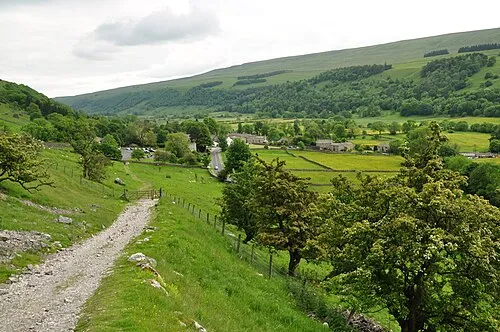 Wharfedale Natural site, England12 km NE
-
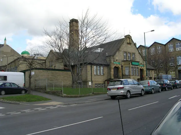 Bait-ul-Hamd Attraction, Bradford12 km W
-
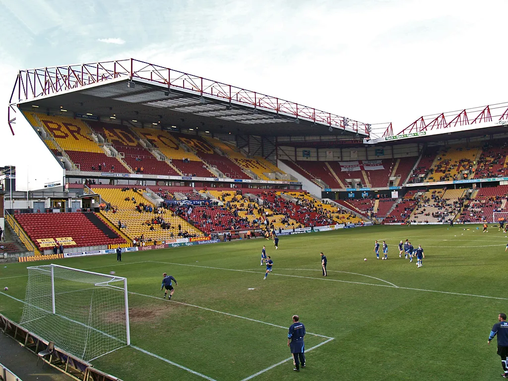 Valley Parade Landmark, Trident14 km W
Sources & licences
Data last updated: