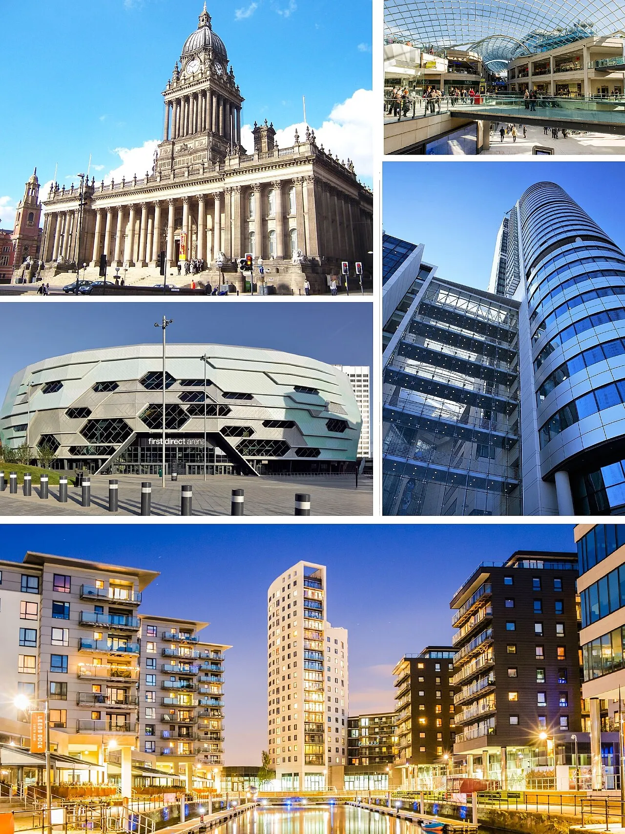
- Population
- 781,743
- 781.7K
- Elevation
- 50 m
- above sea level
- Local time
- UTC+00:00
- Europe/London · UTC+00:00
- Places inside
- 213
- listed under Leeds
- Airports
- LBA Leeds Bradford Airport11 km
- MAN Manchester Airport69 km
About Leeds
Leeds is a district. Location: England, United Kingdom. Population: 781,743. The best months to visit are June–August. The nearest airport is Leeds Bradford Airport (11 km). Nearby sights include Meanwood Beck and Temple Newsam Park.
Climate of Leeds
Best months for sightseeingBest months for sightseeing: June–August.
This month · November
A cold month
Day 10° · Night 4° · Rain 73 mm
- Hottest month
- July (day 21°)
- Coldest month
- February (night 1°)
- Wettest month
- December (82 mm)
- Driest month
- July (49 mm)
Bars: average monthly low and high temperature. Below: precipitation. Monthly averages for 1970–2000 at about 18 km resolution, adjusted for elevation. Highlighted months are mild and relatively dry. Source: WorldClim 2.1 (CC BY 4.0).
Show values as a table
| Month | Jan | Feb | Mar | Apr | May | Jun | Jul | Aug | Sep | Oct | Nov | Dec |
|---|---|---|---|---|---|---|---|---|---|---|---|---|
| Average high (°C) | 7° | 7° | 9° | 12° | 16° | 19° | 21° | 21° | 17° | 14° | 10° | 8° |
| Average low (°C) | 1° | 1° | 3° | 4° | 7° | 10° | 12° | 12° | 10° | 7° | 4° | 2° |
| Precipitation (mm) | 81 | 58 | 63 | 56 | 53 | 63 | 49 | 61 | 62 | 69 | 73 | 82 |
How to get to Leeds
The nearest airport is Leeds Bradford Airport (LBA), 11 km to the northwest as the crow flies. The nearest large city is Leeds, 1 km to the northwest.
Airports
- Leeds Bradford Airport (LBA) Leeds, West Yorkshire 11 kmnorthwest
- Manchester Airport (MAN) Manchester, Greater Manchester 69 kmsouthwest
- Teesside International Airport (MME) Darlington, Durham 80 kmnorth
Nearby large cities
- Leeds Population: 536.3K 1 kmnorthwest
- Wakefield Population: 109.8K 13 kmsouth
- Bradford Population: 366.2K 13 kmwest
- Huddersfield Population: 149K 23 kmsouthwest
- York Population: 156.1K 35 kmnortheast
Straight-line distances; road distances are longer. Airport data: OurAirports.
Places in Leeds
213 placesCities & villages56
- Micklefield · Municipality
- Mickletown · Village
- Middleton · Village
- Mill Shaw · Neighbourhood
- Monkswood · Neighbourhood
- Moor Allerton · Neighbourhood
- Moor Garforth · Neighbourhood
- Moorside · Neighbourhood
- Moor Side · Village
- Moortown · Neighbourhood
- Morley · Municipality
- New Blackpool · Neighbourhood
- Newlay · Neighbourhood
- New Scarborough · Neighbourhood
- New Town · Neighbourhood
- New Wortley · Neighbourhood
- Nook · Neighbourhood
- Osmondthorpe · Neighbourhood
- Otley · Municipality
- Oulton · Neighbourhood
- Ouzlewell Green · Village
- Parklands · Neighbourhood
- Park Spring · Neighbourhood
- Park Villas · Neighbourhood
- Parlington · Municipality
- Penda's Fields · Neighbourhood
- Pool · Municipality
- Potternewton · Village
- Pottery Field · Neighbourhood
- Quarry Hill · Neighbourhood
- Rawdon · Village
- Richmond Hill · Village
- Robin Hood · Village
- Rodley · Village
- Roker Lane Bottom · Neighbourhood
- Round Hill · Neighbourhood
- Royds Green · Village
- Rufford Park · Neighbourhood
- Sandford · Neighbourhood
- Scarcroft · Municipality
- Scotland · Village
- Scott Hall · Neighbourhood
- Shadwell · Municipality
- Shaw Lane · Neighbourhood
- Sheepscar · Neighbourhood
- Silver Royd Hill · Neighbourhood
- Stanks · Neighbourhood
- Stanningley · Village
- Steander · Neighbourhood
- Stourton · Neighbourhood
- Sturton Grange · Municipality
- Swarcliffe · Neighbourhood
- Swillington · Municipality
- Swinnow · Neighbourhood
- Tannery Yard · Neighbourhood
- The Green · Neighbourhood
Mountains & nature2
- Owlcotes Hill · Mountain
- Spring Wood · Natural site
Lakes, rivers & coasts1
- Old Mill Beck · River
Heritage & sights1
- Rothwell Castle · Historic site
Nature and heritage in Leeds
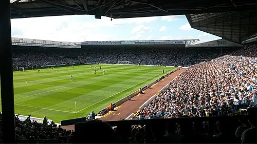
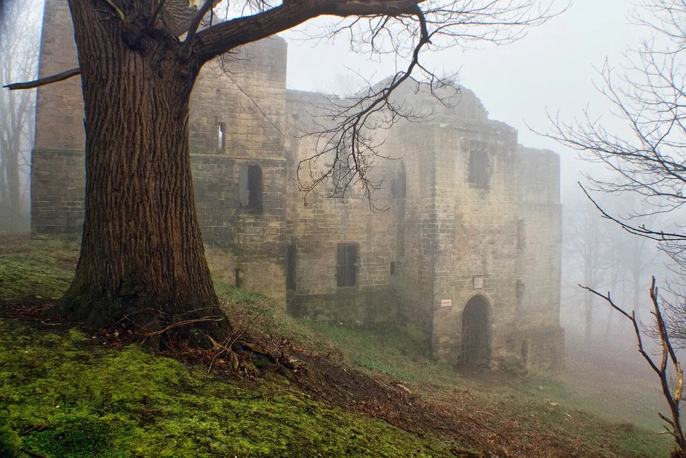
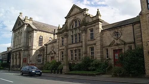
Nearby attractions & nature
Everything nearby-
Meanwood Beck River, England4.7 km NW
-
Temple Newsam Park Natural site, England5.5 km E
-
Springhead Park Natural site, England7.3 km SE
-
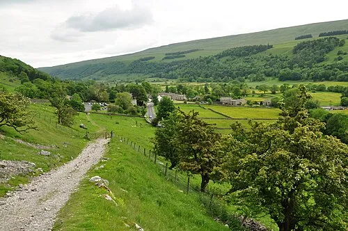 Wharfedale Natural site, England12 km NE
-
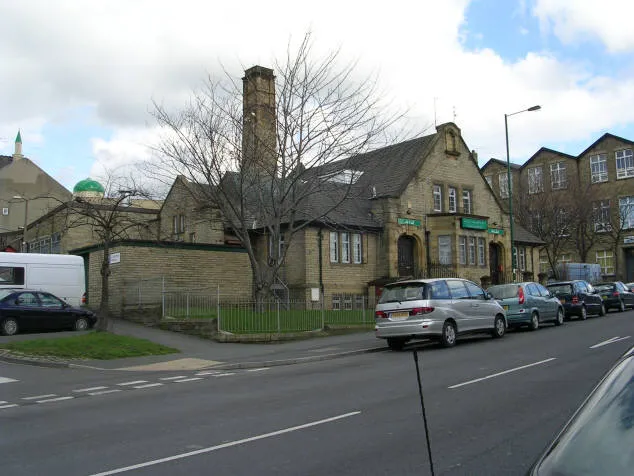 Bait-ul-Hamd Attraction, Bradford12 km W
-
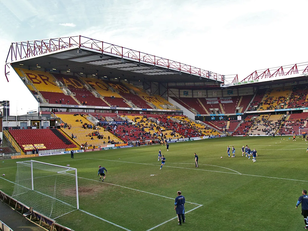 Valley Parade Landmark, Trident14 km W
Sources & licences
Data last updated: