- Population
- 331,420
- 331.4K
- Elevation
- 304 m
- above sea level
- Local time
- UTC+00:00
- Europe/London · UTC+00:00
- Places inside
- 169
- listed under Northumberland
- Airports
- NCL Newcastle International Airport31 km
- MME Teesside International Airport90 km
About Northumberland
Northumberland is a district. Location: England, United Kingdom. Population: 331,420. The best months to visit are June–August. The nearest airport is Newcastle International Airport (31 km). Nearby sights include Wreigh Burn and Ottercops Burn.
Photos of Northumberland
-
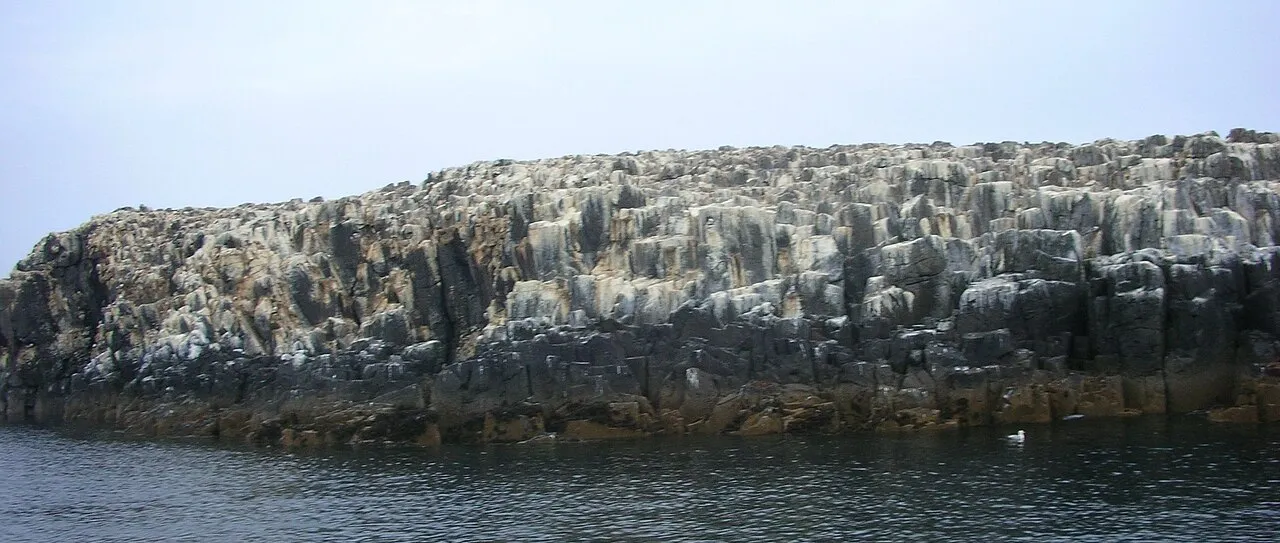
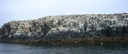
Staple Island Michael Spiller from Bradford, UK · CC BY-SA 2.0 -
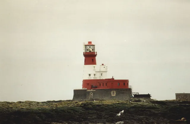
Longstone David Long · CC BY-SA 2.0 -
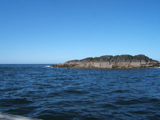
Big Harcar Barbara Carr · CC BY-SA 2.0 -
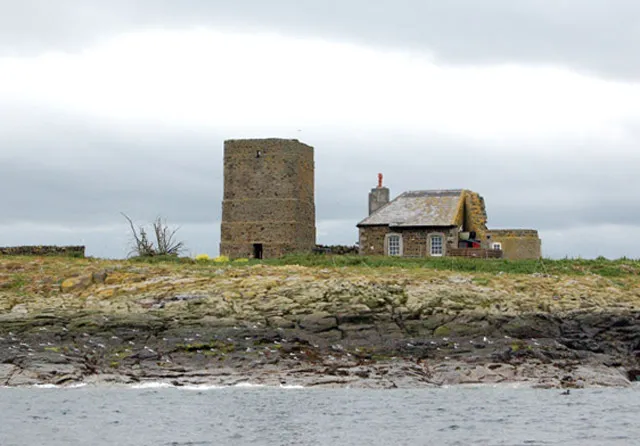
Brownsman Andy F · CC BY-SA 2.0 -
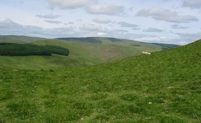
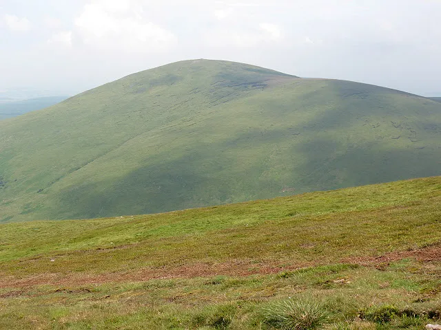
Windy Gyle Richard Webb · CC BY-SA 2.0


Climate of Northumberland
Best months for sightseeingBest months for sightseeing: June–August.
This month · November
A cold month
Day 7° · Night 2° · Rain 88 mm
- Hottest month
- July (day 18°)
- Coldest month
- January (night -1°)
- Wettest month
- January (89 mm)
- Driest month
- April (60 mm)
Bars: average monthly low and high temperature. Below: precipitation. Monthly averages for 1970–2000 at about 18 km resolution, adjusted for elevation. Highlighted months are mild and relatively dry. Source: WorldClim 2.1 (CC BY 4.0).
Show values as a table
| Month | Jan | Feb | Mar | Apr | May | Jun | Jul | Aug | Sep | Oct | Nov | Dec |
|---|---|---|---|---|---|---|---|---|---|---|---|---|
| Average high (°C) | 5° | 5° | 7° | 9° | 13° | 16° | 18° | 17° | 15° | 11° | 7° | 6° |
| Average low (°C) | -1° | -1° | 0° | 2° | 4° | 7° | 9° | 9° | 7° | 5° | 2° | 0° |
| Precipitation (mm) | 89 | 64 | 74 | 60 | 62 | 61 | 64 | 79 | 72 | 82 | 88 | 86 |
How to get to Northumberland
The nearest airport is Newcastle International Airport (NCL), 31 km to the southeast as the crow flies. The nearest large city is Newcastle upon Tyne, 39 km to the southeast.
Airports
- Newcastle International Airport (NCL) Newcastle upon Tyne, Tyne and Wear 31 kmsoutheast
- Teesside International Airport (MME) Darlington, Durham 90 kmsoutheast
- Edinburgh Airport (EDI) Ingliston, Edinburgh 116 kmnorthwest
Nearby large cities
- Newcastle upon Tyne Population: 300.1K 39 kmsoutheast
- Sunderland Population: 170.1K 55 kmsoutheast
- Middlesbrough Population: 142.7K 90 kmsoutheast
- Edinburgh Population: 515K 109 kmnorthwest
- Dundee Population: 148.2K 149 kmnorthwest
Straight-line distances; road distances are longer. Airport data: OurAirports.
Day trips from Northumberland
Within 100 km: 645 historic and cultural sites, 1,565 natural sites, 362 lakes, rivers and coasts.
0–25 km241 places
- Carr's Island Island 16 kmE
- Gold Island Island 22 kmSW
- The Island Island 23 kmSW
- Cushat Law Mountain 20 kmN
25–60 km834 places
- Cocklawburn Beach Beach 54 kmN
- Cheswick Sands Beach 52 kmN
- Longhoughton Beach Beach 33 kmNE
- South Wamses Island 49 kmNE
60–100 km1,497 places
- Seacliff Beach Beach 98 kmNW
- Seaton Carew Beach Beach 84 kmSE
- Redcar Beach Beach 92 kmSE
- Kirkland Scar Island 83 kmSW
Straight-line distances.
Places in Northumberland
169 placesCities & villages48
- North Bedlington · Municipality
- North Sunderland · Municipality
- Nunnykirk · Municipality
- Ord · Municipality
- Otterburn · Municipality
- Ovingham · Municipality
- Ovington · Municipality
- Pegswood · Municipality
- Plenmeller with Whitfield · Municipality
- Ponteland · Municipality
- Prudhoe · Municipality
- Rennington · Municipality
- Rochester · Municipality
- Roddam · Municipality
- Rothbury · Municipality
- Rothley · Municipality
- Sandhoe · Municipality
- Seaton Valley · Municipality
- Shilbottle · Municipality
- Shoreswood · Municipality
- Shotley Low Quarter · Municipality
- Simonburn · Municipality
- Slaley · Municipality
- Snitter · Municipality
- Stamfordham · Municipality
- Stannington · Municipality
- Tarset · Municipality
- Thirlwall · Municipality
- Thirston · Municipality
- Thropton · Municipality
- Togston · Municipality
- Tritlington and West Chevington · Municipality
- Ulgham · Municipality
- Wall · Municipality
- Wallington Demesne · Municipality
- Warden · Municipality
- Wark · Municipality
- Warkworth · Municipality
- West Allen · Municipality
- West Bedlington · Municipality
- Whalton · Municipality
- Whittingham · Municipality
- Whittington · Municipality
- Whitton and Tosson · Municipality
- Widdrington Station and Stobswood · Municipality
- Widdrington Village · Municipality
- Wooler · Municipality
- Wylam · Municipality
Lakes, rivers & coasts1
- River Till · River
Nature and heritage in Northumberland
Nearby attractions & nature
Everything nearby-
Wreigh Burn River, England6.4 km NE
-
Ottercops Burn River, England7.7 km S
-
Elsdon Burn River, England11 km SW
-
Spartley Burn River, England11 km N
-
River Alwin River, England12 km NW
-
Usway Burn River, England16 km NW
Sources & licences
Data last updated: