- Population
- 10,270
- 10.3K
- Elevation
- 21 m
- above sea level
- Local time
- UTC+00:00
- Europe/London · UTC+00:00
- Airports
- EDI Edinburgh Airport54 km
- DND Dundee Airport59 km
About Dunbar
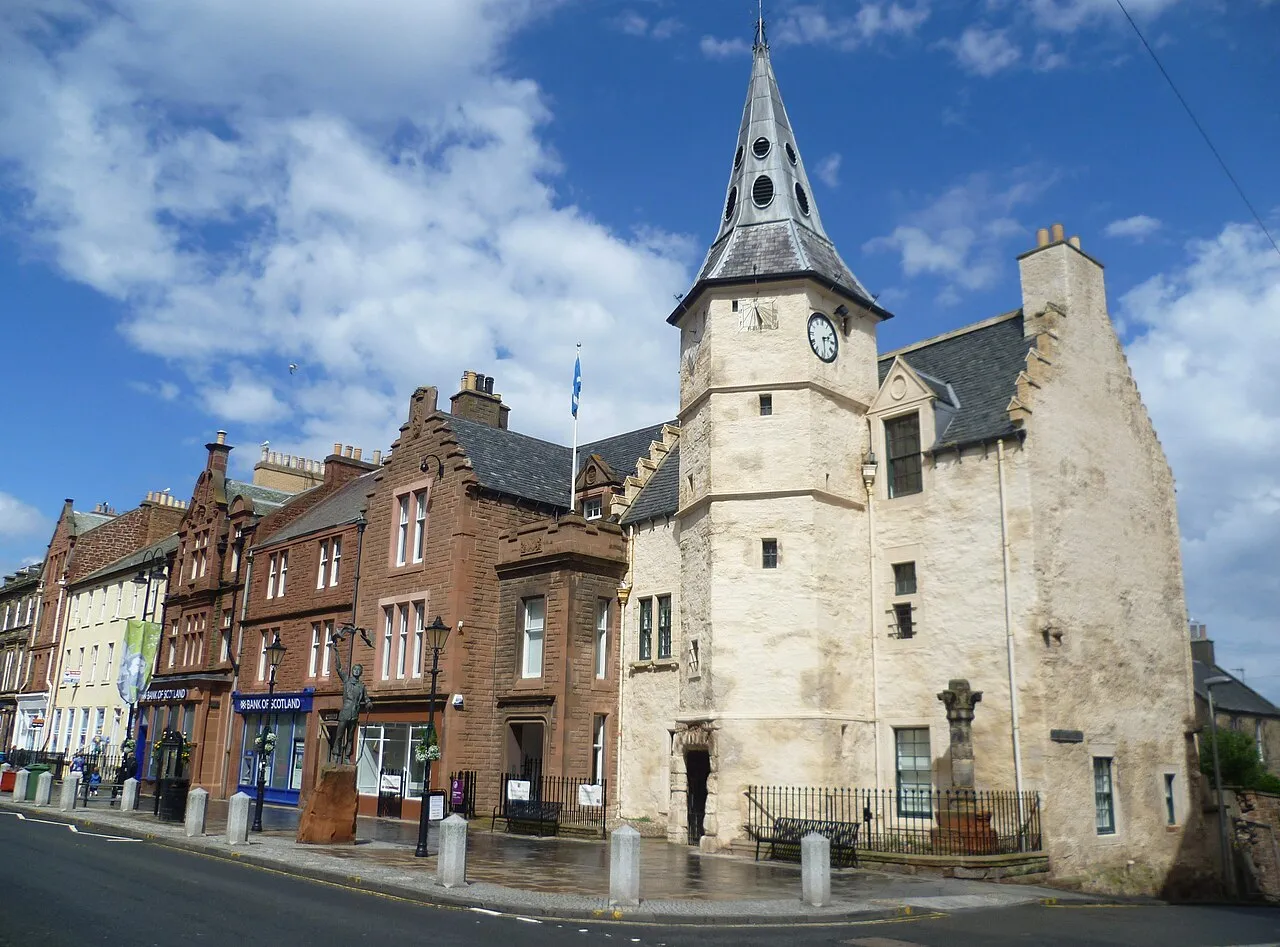
Dunbar is a town. Location: East Lothian, Scotland. Population: 10,270. Elevation: 21 m.
Dunbar ( ) is a coastal town and former royal burgh on the North Sea coast in East Lothian in the south-east of Scotland, approximately 30 miles (48 km) east of Edinburgh and 30 miles (48 km) from the English border north of Berwick-upon-Tweed. It had a population of 10,777 in 2022. The town got its name to an ecclesiastical and civil parish.
Source: Wikipedia · CC BY-SA 4.0
Travel notes for Dunbar
From Wikivoyage
Dunbar is a harbour town in East Lothian, on the south-east coast of central Scotland. In 2021 its population was 10,400.
Understand+
The original medieval harbour lay a couple of miles west, where the Biel Water flows out: that was "Belhaven" where the brewery now stands. Oliver Cromwell was unimpressed by its muddy creek and ordered construction of the harbour in Dunbar that bears his name. This in turn was outgrown by the 19th century, when the Victoria Harbour was created alongside. This necessitated cutting through the red sandstone of the headland, so it's a striking harbour entrance, with what's left of the castle teetering above it.
Dunbar was the birthplace of the conservationist John Muir (1838-1914). Local natural features and wildlife had already fascinated him by age 11 when his family moved to the USA. There he was to discover the wilds and set about their preservation through the agency of the United States national parks.
Visitor information:
Dunbar Visitor Information website
Get in+
By car:
Dunbar is on A1087, a loop north of the A1 London-Newcastle Upon Tyne-Edinburgh road. The town is 30 miles (48 km) east of Edinburgh and 28 miles (45 km) northwest of the English border at Berwick-upon-Tweed.
By bicycle:
Cyclists may use the A1 at this point, but from Edinburgh must use the old road A199 alongside until Dunbar.
By bus:
East Coast Bus X7 runs along A1 between Edinburgh and Dunbar, every 30 minutes M-F and hourly Sa Su, taking 80 min. Borders Bus 253 also runs hourly from Edinburgh via Haddington to Dunbar, and every two hours continues to Cockpurnspath, Grantshouse, Eyemouth, Burnmouth and Berwick-upon-Tweed.
Bus 106 runs hourly from Fort Kinnaird shopping centre at the south edge of Edinburgh via Musselburgh, Wallyford, Tranent, Macmerry, Haddington, East Linton and Dunbar.
Night bus N106 runs after shortly midnight F Sa from Edinburgh to Musselburgh then the same route to Dunbar.
There isn't a bus station, buses stop along Belhaven Rd and High Street and then terminate at Asda on the south side of town.
By rail:
1 Dunbar railway station (100 yd (91 m) yards south of High Street.). It has a staffed ticket office and machines, toilets and a waiting room. There is step-free access to the single platform. (updated Jan 2024)
Dunbar is on the East Coast Mainline from London King's Cross to Edinburgh, but those trains just flash through. You need to change at York or Newcastle upon Tyne for the Cross-Country trains coming up from the East Midlands and stopping at Dunbar every couple of hours on their way towards Edinburgh. There's also a local train between Dunbar and Edinburgh, so this connection is hourly, taking 20 minutes.
Source: Wikivoyage · CC BY-SA 4.0 · abridged
Twin towns and sister cities of Dunbar
- Kingston· United States
- Martinez· United States
Source: Wikidata. Only places with a page on this site are shown.
Climate of Dunbar
Best months for sightseeingBest months for sightseeing: June–September.
This month · November
A cold month
Day 9° · Night 2° · Rain 58 mm
- Hottest month
- July (day 19°)
- Coldest month
- January (night 0°)
- Wettest month
- October (63 mm)
- Driest month
- April (38 mm)
Bars: average monthly low and high temperature. Below: precipitation. Monthly averages for 1970–2000 at about 18 km resolution, adjusted for elevation. Highlighted months are mild and relatively dry. Source: WorldClim 2.1 (CC BY 4.0).
Show values as a table
| Month | Jan | Feb | Mar | Apr | May | Jun | Jul | Aug | Sep | Oct | Nov | Dec |
|---|---|---|---|---|---|---|---|---|---|---|---|---|
| Average high (°C) | 6° | 7° | 9° | 11° | 14° | 17° | 19° | 19° | 16° | 13° | 9° | 7° |
| Average low (°C) | 0° | 0° | 2° | 3° | 5° | 8° | 10° | 10° | 8° | 6° | 2° | 1° |
| Precipitation (mm) | 56 | 40 | 45 | 38 | 46 | 49 | 54 | 61 | 60 | 63 | 58 | 54 |
Other places to visit in this season: June July August September
How to get to Dunbar
The nearest airport is Edinburgh Airport (EDI), 54 km to the west as the crow flies. The nearest large city is Edinburgh, 43 km to the west.
Airports
- Edinburgh Airport (EDI) Ingliston, Edinburgh 54 kmwest
- Dundee Airport (DND) Dundee 59 kmnorthwest
- Newcastle International Airport (NCL) Newcastle upon Tyne, Tyne and Wear 119 kmsoutheast
Nearby large cities
- Edinburgh Population: 515K 43 kmwest
- Dundee Population: 148.2K 59 kmnorthwest
- Glasgow Population: 626.4K 110 kmwest
- Newcastle upon Tyne Population: 300.1K 128 kmsoutheast
- Aberdeen Population: 198.6K 130 kmnorth
Straight-line distances; road distances are longer. Airport data: OurAirports.
Day trips from Dunbar
Within 100 km: 326 historic and cultural sites, 1,925 natural sites, 456 lakes, rivers and coasts.
0–25 km121 places
- Gullane Beach Beach 21 kmW
- Seacliff Beach Beach 10 kmNW
- Isle of May Island 21 kmN
- Lamb Island Island 17 kmNW
25–60 km742 places
- Burntisland Beach Beach 45 kmW
- Cramond beach Beach 49 kmW
- Portobello Beach Beach 38 kmW
- Cocklawburn Beach Beach 46 kmSE
60–100 km1,844 places
- Longhoughton Beach Beach 86 kmSE
- South Wamses Island 69 kmSE
- Old Law Island 60 kmSE
- North Wamses Island 69 kmSE
Straight-line distances.
Nearby attractions & nature
Everything nearby-
Barns Ness Lighthouse Landmark, East Lothian4.5 km E
-
Brunt Hill Mountain, East Lothian4.3 km S
-
Belhaven Bay Natural site, East Lothian4.8 km W
-
River Tyne River, East Lothian5.1 km W
-
Highside Hill Mountain, East Lothian5.5 km S
-
Black Loch Hill Mountain, East Lothian5.7 km S
-
Windford Dub Hill Mountain, East Lothian6.1 km SE
-
Dry Burn River, Scotland7.2 km SE
Other cities and towns in East Lothian
-
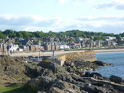 North Berwick Town, East Lothian15 km NW
-
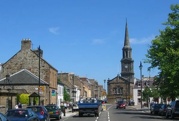 Haddington City, East Lothian18 km W
-
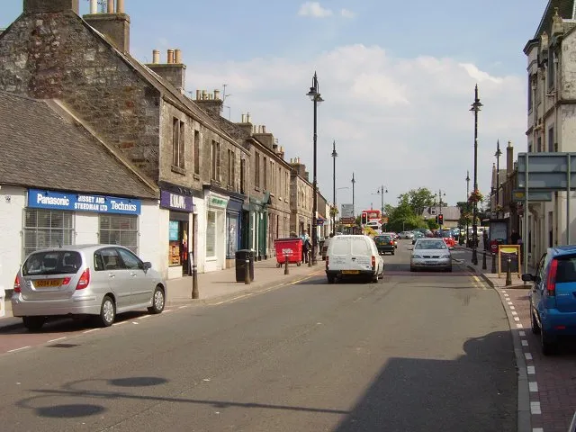 Tranent Town, East Lothian28 km W
-
 Musselburgh Town, East Lothian34 km W
-
Cockenzie Town, East Lothian28 km W
-
Prestonpans Town, East Lothian29 km W
Sources & licences
Data last updated: · 2 independent sources