- Population
- 7,840
- 7.8K
- Elevation
- 8 m
- above sea level
- Local time
- UTC+00:00
- Europe/London · UTC+00:00
- Airports
- EDI Edinburgh Airport42 km
- DND Dundee Airport48 km
About North Berwick
North Berwick is a town. Location: East Lothian, Scotland. Population: 7,840. Elevation: 8 m.
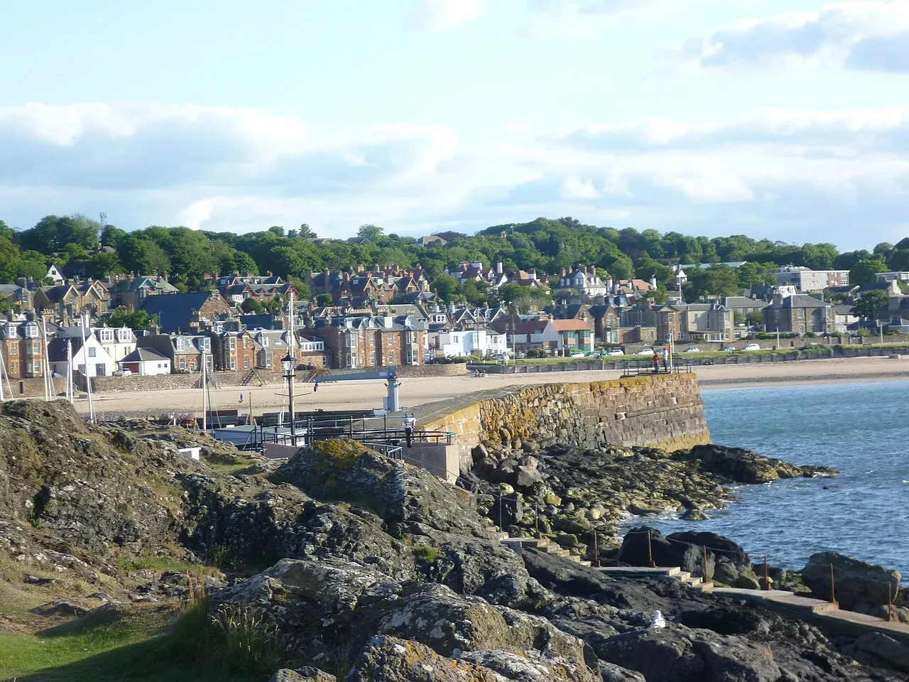
North Berwick (; BEH-rik; Scottish Gaelic: Bearaig a Tuath) is a seaside town and former royal burgh in East Lothian, Scotland. It is situated on the south shore of the Firth of Forth, approximately 20 miles (32 km) east-northeast of Edinburgh. North Berwick became a fashionable holiday resort in the nineteenth century because of its two sandy bays, the East (or Milsey) Bay and the West Bay, and continues to attract holidaymakers. Golf courses at the ends of each bay are open to visitors.
Source: Wikipedia · CC BY-SA 4.0
Photos of North Berwick
-

Warofdreams · CC BY-SA 4.0 -

Warofdreams · CC BY-SA 4.0 -
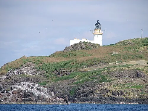
Fidra SixSigma · CC BY 3.0 -
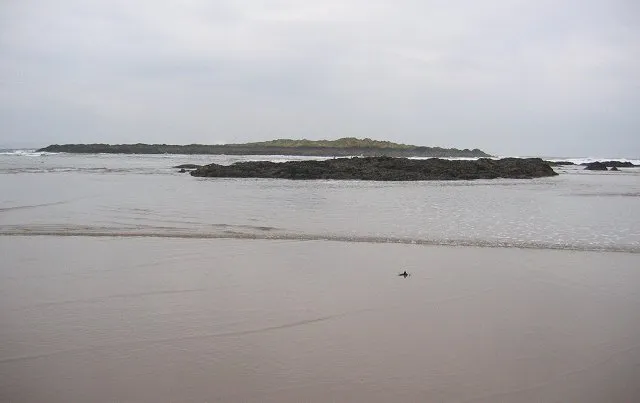
Eyebroughy Richard Webb · CC BY-SA 2.0 -
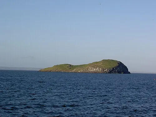
Craigleith Brendandh at English Wikipedia · Public domain


Travel notes for North Berwick
From Wikivoyage
North Berwick is a town on the coast of East Lothian in central Scotland, with a population of 7840 in 2020. It's an attractive fishing port and beach resort, nowadays a commuter town for Edinburgh 20 miles west. Several uninhabited nearby islands are seabird reserves, the most prominent being the Bass Rock.
The tourist information centre is within the library on School Road, same hours.
Get in+
By train:
North Berwick is the terminus of a branch off the East Coast mainline. ScotRail trains run hourly, daily from Edinburgh Waverley, taking 35 min. Along the mainline these stop at Musselburgh, Wallyford, Prestonpans, Longniddry and Drem, but no other trains stop there; so coming from the south you have to go into Edinburgh, change and come back out again. The last train is around 11PM, and in 2022 you might pay as little as £3 for an offpeak single. The 1 railway station is quarter of a mile west of town centre. It's just a platform halt, with ticket machines but no staffed office or toilets. There is step-free access to the sole platform.
Your rail ticket gives you a discount on entry to the Seabird Centre.
By bus:
Lothian Buses X5 and 124 run from Edinburgh along Princes Street (close to but not into the bus station) then via Musselburgh along the coast road to North Berwick. They run daily every 30-60 min, taking 90 min. The last bus is around 11:30PM but a weekend N124 runs at 12:30AM and 3:30AM.
The 125 and 126 are school buses part-route between North Berwick, Aberlady and Musselburgh.
Eve Coach 120 takes 50 min from Dunbar to North Berwick every couple of hours M-Sa, with only two on Sunday.
There isn't a bus station. Buses traverse the town with several stops on A198 then turn around at Tesco supermarket.
By road:
North Berwick is on A198, the scenic loop road along the coast north of A1. Coming from the south, you need to exit A1 just west of Dunbar to join A199 the former main road, then continue west a mile or so for the A198 turnoff — the new A1 doesn't make a junction here. Coming from the west out of Edinburgh, follow A1 and exit onto A199 just beyond Haddington, then continue east to A198. Bicycles aren't allowed on the new A1 and the scenic route eastbound is to join the old road at Musselburgh and wind through the coastal villages.
Source: Wikivoyage · CC BY-SA 4.0 · abridged
Climate of North Berwick
Best months for sightseeingBest months for sightseeing: June–September.
This month · November
A cold month
Day 9° · Night 3° · Rain 58 mm
- Hottest month
- July (day 19°)
- Coldest month
- January (night 1°)
- Wettest month
- October (63 mm)
- Driest month
- February (40 mm)
Bars: average monthly low and high temperature. Below: precipitation. Monthly averages for 1970–2000 at about 18 km resolution, adjusted for elevation. Highlighted months are mild and relatively dry. Source: WorldClim 2.1 (CC BY 4.0).
Show values as a table
| Month | Jan | Feb | Mar | Apr | May | Jun | Jul | Aug | Sep | Oct | Nov | Dec |
|---|---|---|---|---|---|---|---|---|---|---|---|---|
| Average high (°C) | 6° | 7° | 9° | 11° | 14° | 17° | 19° | 19° | 16° | 13° | 9° | 7° |
| Average low (°C) | 1° | 1° | 2° | 3° | 5° | 8° | 10° | 10° | 8° | 6° | 3° | 1° |
| Precipitation (mm) | 57 | 40 | 46 | 40 | 48 | 49 | 55 | 61 | 60 | 63 | 58 | 54 |
Other places to visit in this season: June July August September
How to get to North Berwick
The nearest airport is Edinburgh Airport (EDI), 42 km to the west as the crow flies. The nearest large city is Edinburgh, 32 km to the west.
Airports
- Edinburgh Airport (EDI) Ingliston, Edinburgh 42 kmwest
- Dundee Airport (DND) Dundee 48 kmnorthwest
- Glasgow Airport (GLA) Glasgow 109 kmwest
Nearby large cities
- Edinburgh Population: 515K 32 kmwest
- Dundee Population: 148.2K 48 kmnorth
- Glasgow Population: 626.4K 98 kmwest
- Aberdeen Population: 198.6K 127 kmnorth
- Newcastle upon Tyne Population: 300.1K 140 kmsoutheast
Straight-line distances; road distances are longer. Airport data: OurAirports.
Day trips from North Berwick
Within 100 km: 311 historic and cultural sites, 2,324 natural sites, 511 lakes, rivers and coasts.
0–25 km105 places
- Gullane Beach Beach 8 kmW
- Seacliff Beach Beach 5 kmE
- Isle of May Island 18 kmNE
- Lamb Island Island 2 kmNW
25–60 km862 places
- Burntisland Beach Beach 31 kmW
- Cramond beach Beach 37 kmW
- Portobello Beach Beach 27 kmSW
- Mugdrum Island Island 46 kmNW
60–100 km2,179 places
- Cocklawburn Beach Beach 60 kmSE
- Cheswick Sands Beach 62 kmSE
- Longhoughton Beach Beach 100 kmSE
- South Wamses Island 83 kmSE
Straight-line distances.
Nearby attractions & nature
Everything nearby-
Craigleith Island, East Lothian1.7 km N
-
Priory of Saint Mary Historic site, East Lothian0.6 km SW
-
West Bay Natural site, Scotland0.3 km N
-
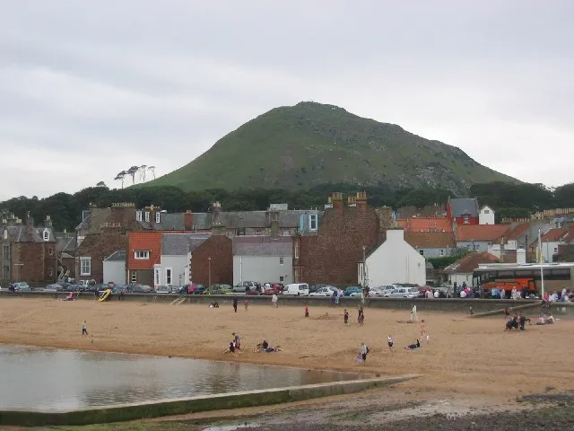 Berwick Law Mountain, East Lothian1.2 km SE
-
Fidra Island, East Lothian4.1 km W
-
Milsey Bay Natural site, Scotland1.2 km E
-
Lamb Island Island, East Lothian2.1 km NW
-
Eyebroughy Island, East Lothian5.7 km W
Other cities and towns in East Lothian
-
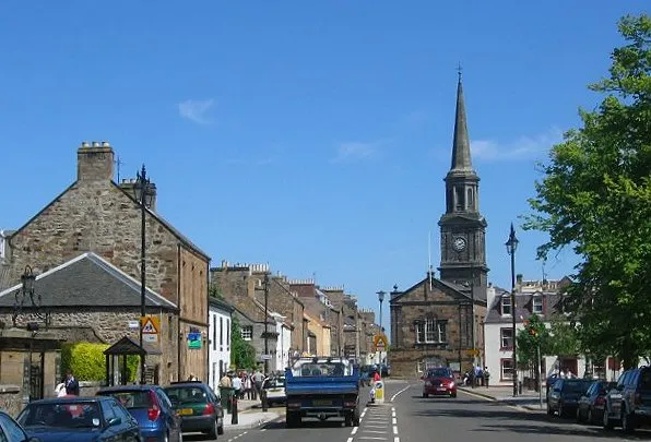 Haddington City, East Lothian12 km S
-
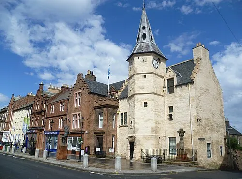 Dunbar Town, East Lothian15 km SE
-
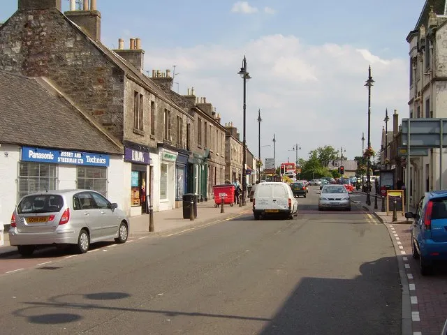 Tranent Town, East Lothian19 km SW
-
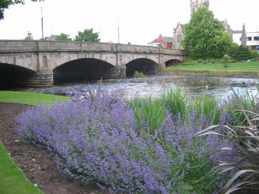 Musselburgh Town, East Lothian24 km SW
-
Cockenzie Town, East Lothian18 km SW
-
Prestonpans Town, East Lothian19 km SW
Sources & licences
Data last updated: · 2 independent sources