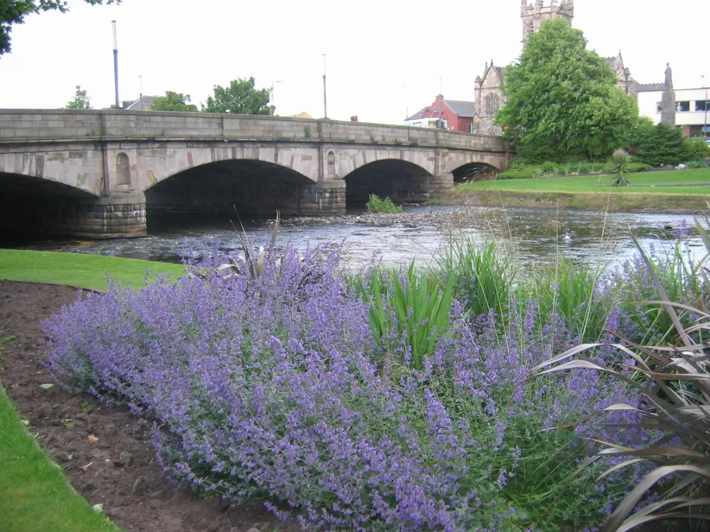
- Population
- 23,620
- 23.6K
- Elevation
- 9 m
- above sea level
- Local time
- UTC+00:00
- Europe/London · UTC+00:00
- Airports
- EDI Edinburgh Airport20 km
- DND Dundee Airport57 km
About Musselburgh
Musselburgh is a town. Location: East Lothian, Scotland. Population: 23,620. Elevation: 9 m.
Musselburgh (; Scots: Musselburrae; Scottish Gaelic: Baile nam Feusgan) is a historic coastal town in East Lothian, Scotland, on the shore of the Firth of Forth. The town sits at the mouth of the River Esk, approximately 5 miles (8 km) east of Edinburgh, 46 miles (74 km) east of Glasgow, and 91 miles (146 km) south-southwest of Aberdeen. It is the largest settlement in East Lothian, with a population of 21,479 in 2022.
Source: Wikipedia · CC BY-SA 4.0
At a glance
- Area
- 5.4 km²
Source: Wikidata
Photos of Musselburgh
-

AlasdairW · CC BY-SA 4.0 -

AlasdairW · CC BY-SA 4.0 -

Leslie Barrie · CC BY-SA 2.0 -

Rosser1954 · CC BY-SA 4.0 -

Rosser1954 · CC BY-SA 4.0


Travel notes for Musselburgh
From Wikivoyage
Musselburgh is the largest town in East Lothian in central Scotland, six miles east of Edinburgh city centre. It's an old fishing port which is now part of the commuter belt, with a population in 2020 of 21,100.
Understand+
The Romans were fond of mussels, as good a reason as any to camp here circa 80 AD. They built a bridge over the River Esk that (now in its third incarnation) still stands: the town's High Street was aligned with it but the New Bridge opened in 1806 to carry the Great North Road (the later A1), and the town developed a second spine. In the mid-1980s the A1 was diverted onto a bypass to the south. To the west, Musselburgh adjoins the Edinburgh suburbs of Portobello and Joppa. To the south was the coal-mining district of Newcraighall, now redeveloped, where Inveresk has somehow survived as a charming 17th / 18th century village. The main reason to visit Musselburgh is to go to the races.
Get in+
For long-distance routes by air, rail or bus, see Edinburgh. From the airport take Skylink Bus 400 to Fort Kinnaird, then local buses for the last 3 miles into town.
By bus:
For long-distance coaches change in Edinburgh: these fly past on the A1 and don't call at Musselburgh. Lothian Buses 15, 26, 30 and 44 run to Musselburgh from Edinburgh.
East Coast Buses X5, 124 & X24 run from Edinburgh Fountainbridge along Princes St (close to but not into the bus station) then via Musselburgh along the coast road to North Berwick. They run daily every 30-60 min.
East Coast Bus 104 runs every 30 min from Edinburgh West End and Princes St via Musselburgh, Wallyford and Tranent to Haddington. East Coast Bus 106 starts from Fort Kinnaird then follows the same route from Musselburgh to Haddington; change at Haddington for buses to Dunbar and Berwick-upon-Tweed. East Coast Bus 113 runs from Edinburgh West End via Brunstane to Musselburgh then via Wallyford, Tranent and Ormiston to Pencaitland.
Night bus N26 runs hourly midnight-4AM from Edinburgh to Joppa, Musselburgh, Prestonpans and Seton Sands. At weekends night buses also run from city centre via Musselburgh to Dunbar (N106) and North Berwick (N124).
East Coast Bus 140 runs from Penicuik via Roslin (for Rosslyn Chapel), Loanhead and Dalkeith.
By train:
1 Musselburgh railway station has trains hourly from Edinburgh Waverley (6 min), which continue to Wallyford (for racecourse), Prestonpans, Longniddry, Drem and North Berwick. Trains from Dunbar also stop here every couple of hours, but most trains whirl straight through - coming from Newcastle and the south you go into Edinburgh and change.
The station is half a mile south of town centre. It has ticket machines but no staffed office, and no toilets. There are ramps to both platforms.
Source: Wikivoyage · CC BY-SA 4.0 · abridged
Climate of Musselburgh
Best months for sightseeingBest months for sightseeing: June–September.
This month · November
A cold month
Day 9° · Night 3° · Rain 61 mm
- Hottest month
- July (day 19°)
- Coldest month
- January (night 1°)
- Wettest month
- October (70 mm)
- Driest month
- April (43 mm)
Bars: average monthly low and high temperature. Below: precipitation. Monthly averages for 1970–2000 at about 18 km resolution, adjusted for elevation. Highlighted months are mild and relatively dry. Source: WorldClim 2.1 (CC BY 4.0).
Show values as a table
| Month | Jan | Feb | Mar | Apr | May | Jun | Jul | Aug | Sep | Oct | Nov | Dec |
|---|---|---|---|---|---|---|---|---|---|---|---|---|
| Average high (°C) | 7° | 7° | 9° | 11° | 15° | 17° | 19° | 19° | 16° | 13° | 9° | 8° |
| Average low (°C) | 1° | 1° | 2° | 4° | 6° | 9° | 11° | 11° | 9° | 6° | 3° | 2° |
| Precipitation (mm) | 64 | 46 | 54 | 43 | 50 | 56 | 60 | 62 | 65 | 70 | 61 | 62 |
Other places to visit in this season: June July August September
How to get to Musselburgh
The nearest airport is Edinburgh Airport (EDI), 20 km to the west as the crow flies. The nearest large city is Edinburgh, 9 km to the west.
Airports
- Edinburgh Airport (EDI) Ingliston, Edinburgh 20 kmwest
- Dundee Airport (DND) Dundee 57 kmnorth
- Glasgow Airport (GLA) Glasgow 87 kmwest
Nearby large cities
- Edinburgh Population: 515K 9 kmwest
- Dundee Population: 148.2K 59 kmnorth
- Glasgow Population: 626.4K 76 kmwest
- Newcastle upon Tyne Population: 300.1K 141 kmsoutheast
- Aberdeen Population: 198.6K 146 kmnortheast
Straight-line distances; road distances are longer. Airport data: OurAirports.
Day trips from Musselburgh
Within 100 km: 344 historic and cultural sites, 2,671 natural sites, 657 lakes, rivers and coasts.
0–25 km263 places
- Burntisland Beach Beach 17 kmNW
- Cramond beach Beach 16 kmW
- Portobello Beach Beach 4 kmW
- Gullane Beach Beach 17 kmNE
25–60 km1,038 places
- Seacliff Beach Beach 29 kmNE
- Mugdrum Island Island 47 kmN
- Isle of May Island 41 kmNE
- St Serf's Island Island 33 kmNW
60–100 km2,371 places
- Cocklawburn Beach Beach 73 kmE
- Cheswick Sands Beach 74 kmE
- South Wamses Island 95 kmE
- Old Law Island 86 kmE
Straight-line distances.
Nearby attractions & nature
Everything nearby-
River Esk River, Scotland0.9 km N
-
Brunstane Burn River, Edinburgh1.9 km W
-
Morrison’s Haven Natural site, East Lothian3.3 km E
-
Carberry Hill Mountain, East Lothian4.2 km SE
-
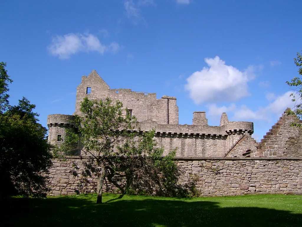 Craigmillar Castle Historic site, Edinburgh5.9 km W
-
Portobello Beach Beach, Edinburgh4.1 km W
-
 Easter Road Landmark, Edinburgh7.5 km W
-
Dalkeith Palace Historic site, Midlothian4.8 km S
Other cities and towns in East Lothian
-
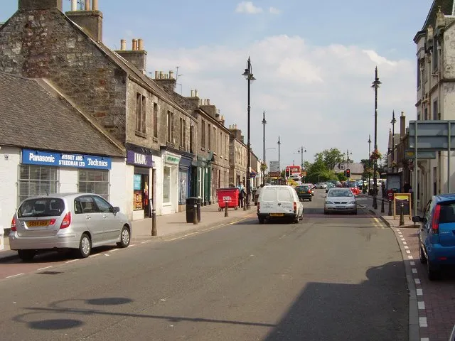 Tranent Town, East Lothian6 km E
-
Prestonpans Town, East Lothian4.8 km NE
-
Cockenzie Town, East Lothian6 km NE
-
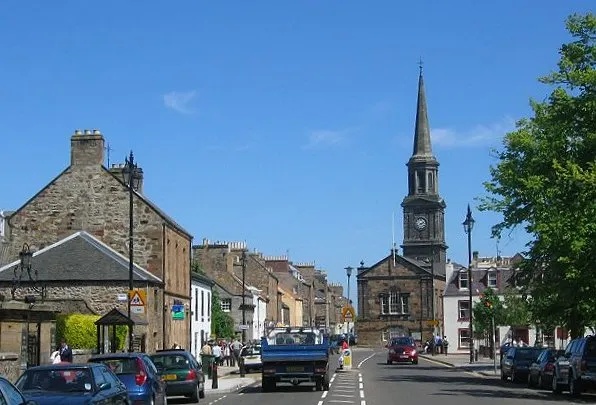 Haddington City, East Lothian17 km E
-
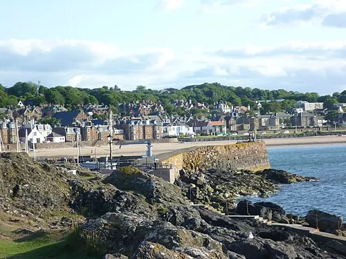 North Berwick Town, East Lothian24 km NE
-
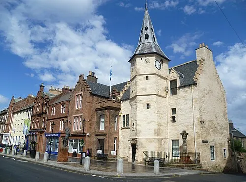 Dunbar Town, East Lothian34 km E
Sources & licences
Data last updated: · 2 independent sources