- Elevation
- 106 m
- above sea level
- Local time
- UTC+01:00
- Europe/Zagreb · UTC+01:00
- Airports
- ZAG Zagreb Franjo Tuđman International Airport47 km
- RJK Rijeka Airport85 km
About Korana
Korana is a river. Location: Croatia.
The Korana is a river in central Croatia and west Bosnia and Herzegovina. The river has a total length of 138.6 km (86.1 mi) and watershed area of 2,301.5 km2 (888.6 mi2). The river's name is derived from Proto-Indo-European *karr- 'rock'. It was recorded in the 13th century as Coranna and Corona. Korana rises in the eastern parts of Lika and creates the Plitvice Lakes, a UNESCO World Heritage Site. The length of the Korana is a matter analyzed by geographers because of its ambiguity.
Read more on Wikipedia Text: Wikipedia contributors · CC BY-SA 4.0 · shortened
At a glance
- Length
- 144 km
Source: Wikidata
Climate of Korana
Best months for sightseeingBest months for sightseeing: May–September.
Bars: average monthly low and high temperature. Below: precipitation. Monthly averages for 1970–2000 at about 18 km resolution, adjusted for elevation. Highlighted months are mild and relatively dry. Source: WorldClim 2.1 (CC BY 4.0).
Show values as a table
| Month | Jan | Feb | Mar | Apr | May | Jun | Jul | Aug | Sep | Oct | Nov | Dec |
|---|---|---|---|---|---|---|---|---|---|---|---|---|
| Average high (°C) | 4° | 7° | 12° | 17° | 22° | 25° | 27° | 27° | 22° | 16° | 10° | 5° |
| Average low (°C) | -3° | -2° | 2° | 6° | 10° | 13° | 15° | 14° | 11° | 7° | 2° | -1° |
| Precipitation (mm) | 64 | 62 | 75 | 87 | 89 | 104 | 97 | 97 | 103 | 107 | 111 | 86 |
Other places to visit in this season: May June July August September
Airports nearest to Korana
- Zagreb Franjo Tuđman International Airport (ZAG) Velika Gorica 47 km
- Rijeka Airport (RJK) Rijeka(Omišalj) 85 km
- Maribor Edvard Rusjan Airport (MBX) Maribor 109 km
Straight-line distance; airports with scheduled flights only. Source: OurAirports (public domain).
Nearest towns and villages
-
Vodostaj Village, Town of Karlovac0.7 km NW
-
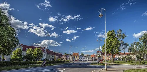 Karlovac City, Town of Karlovac2.8 km W
-
Rečica Village, Town of Karlovac6.2 km E
-
Mala Švarča Village, Karlovac County4.5 km SW
-
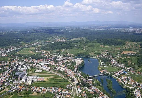 Duga Resa City, Town of Duga Resa8.9 km SW
-
Donje Mrzlo Polje Village, Town of Duga Resa7.8 km SW
Nearby attractions & nature
Everything nearbyMore lakes, rivers and coasts in Croatia
Sources & licences
Data last updated: · 2 independent sources