- Elevation
- 108 m
- above sea level
- Local time
- UTC+01:00
- Europe/Zagreb · UTC+01:00
- Airports
- ZAG Zagreb Franjo Tuđman International Airport47 km
- RJK Rijeka Airport85 km
About Mrežnica
Mrežnica is a river. Location: Croatia. The best months to visit are May–September. The nearest airport is Zagreb Franjo Tuđman International Airport (47 km). Nearby sights include Korana and Mrežnica.
Climate of Mrežnica
Best months for sightseeingBest months for sightseeing: May–September.
Bars: average monthly low and high temperature. Below: precipitation. Monthly averages for 1970–2000 at about 18 km resolution, adjusted for elevation. Highlighted months are mild and relatively dry. Source: WorldClim 2.1 (CC BY 4.0).
Show values as a table
| Month | Jan | Feb | Mar | Apr | May | Jun | Jul | Aug | Sep | Oct | Nov | Dec |
|---|---|---|---|---|---|---|---|---|---|---|---|---|
| Average high (°C) | 4° | 7° | 12° | 17° | 22° | 25° | 27° | 27° | 22° | 16° | 10° | 5° |
| Average low (°C) | -3° | -2° | 2° | 6° | 10° | 13° | 15° | 14° | 11° | 7° | 2° | -1° |
| Precipitation (mm) | 64 | 62 | 75 | 87 | 89 | 104 | 97 | 97 | 103 | 107 | 111 | 86 |
Other places to visit in this season: May June July August September
Airports nearest to Mrežnica
- Zagreb Franjo Tuđman International Airport (ZAG) Velika Gorica 47 km
- Rijeka Airport (RJK) Rijeka(Omišalj) 85 km
- Maribor Edvard Rusjan Airport (MBX) Maribor 109 km
Straight-line distance; airports with scheduled flights only. Source: OurAirports (public domain).
Nearest towns and villages
-
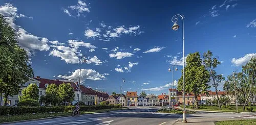 Karlovac City, Town of Karlovac1.9 km SW
-
Vodostaj Village, Town of Karlovac1 km NE
-
Mala Švarča Village, Karlovac County4 km SW
-
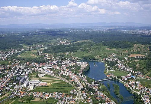 Duga Resa City, Town of Duga Resa8.2 km SW
-
Rečica Village, Town of Karlovac7.1 km E
-
Donje Mrzlo Polje Village, Town of Duga Resa7.1 km SW
Nearby attractions & nature
Everything nearbyMore lakes, rivers and coasts in Croatia

Sources & licences
Data last updated: