Municipality of Lekenik
Located in Sisak-Moslavina County, Croatia Coordinates: 45°35′06″ N 16°12′36″ E
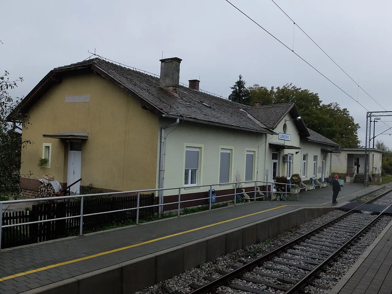
- Population
- 5,343
- 5.3K
- Elevation
- 100 m
- above sea level
- Local time
- UTC+01:00
- Europe/Zagreb · UTC+01:00
- Places inside
- 10
- listed under Municipality of Lekenik
- Airports
- ZAG Zagreb Franjo Tuđman International Airport21 km
- MBX Maribor Edvard Rusjan Airport107 km
About Municipality of Lekenik
Municipality of Lekenik is a district. Location: Sisak-Moslavina County, Croatia. Population: 5,343. The best months to visit are May–September. The nearest airport is Zagreb Franjo Tuđman International Airport (21 km). Nearby sights include Odra and Kupa.
Climate of Municipality of Lekenik
Best months for sightseeingBest months for sightseeing: May–September.
This month · November
A cold month
Day 9° · Night 2° · Rain 89 mm
- Hottest month
- July (day 27°)
- Coldest month
- January (night -3°)
- Wettest month
- June (90 mm)
- Driest month
- February (51 mm)
Bars: average monthly low and high temperature. Below: precipitation. Monthly averages for 1970–2000 at about 18 km resolution, adjusted for elevation. Highlighted months are mild and relatively dry. Source: WorldClim 2.1 (CC BY 4.0).
Show values as a table
| Month | Jan | Feb | Mar | Apr | May | Jun | Jul | Aug | Sep | Oct | Nov | Dec |
|---|---|---|---|---|---|---|---|---|---|---|---|---|
| Average high (°C) | 4° | 6° | 12° | 16° | 21° | 24° | 27° | 26° | 22° | 16° | 9° | 5° |
| Average low (°C) | -3° | -2° | 2° | 6° | 10° | 13° | 15° | 14° | 11° | 7° | 2° | -1° |
| Precipitation (mm) | 54 | 51 | 60 | 70 | 78 | 90 | 80 | 86 | 83 | 85 | 89 | 67 |
Other places to visit in this season: May June July August September
How to get to Municipality of Lekenik
The nearest airport is Zagreb Franjo Tuđman International Airport (ZAG), 21 km to the northwest as the crow flies. The nearest large city is Zagreb, 31 km to the northwest.
Airports
- Zagreb Franjo Tuđman International Airport (ZAG) Velika Gorica 21 kmnorthwest
- Maribor Edvard Rusjan Airport (MBX) Maribor 107 kmnorth
- Banja Luka International Airport (BNX) Mahovljani 111 kmsoutheast
Nearby large cities
- Zagreb Population: 663.6K 31 kmnorthwest
- Rijeka Population: 108K 141 kmwest
- Ljubljana Population: 272.2K 142 kmwest
- Pécs Population: 145.3K 166 kmeast
- Graz Population: 303.3K 175 kmnorth
Straight-line distances; road distances are longer. Airport data: OurAirports.
Day trips from Municipality of Lekenik
Within 100 km: 8 historic and cultural sites, 21 natural sites, 53 lakes, rivers and coasts.
0–25 km6 places
- Golinja River 19 kmSW
- Odra River 15 kmSE
- Kupa River 20 kmSE
- Glina River 18 kmS
25–60 km35 places
- Kašina River 29 kmN
- Krka River 59 kmNW
- Sunja River 54 kmSE
- Sredska River 57 kmNE
60–100 km41 places
- Lake Ptuj Lake 93 kmN
- Žumberačka Gora Mountain 71 kmW
- Trdinov Vrh Mountain 72 kmW
- Kočevski Rog Mountain 92 kmW
Straight-line distances.
Places in Municipality of Lekenik
10 places- 1 Lekenik 1.7K
- 2 Peščenica 795
- 3 Letovanić 399
- 4 Dužica 288
- 5 Žažina 275
- 6 Brežane Lekeničke 260
- 7 Poljana Lekenička 248
- 8 Stari Brod 159
- 9 Stari Farkašić 73
- 10 Palanjek Pokupski 7
Bar: population relative to the most populous place in this list.
Nearby attractions & nature
Everything nearby


Other regions in Sisak-Moslavina County
-
City of Sisak District, Sisak-Moslavina County15 km SE
-
 Municipality of Martinska Ves District, Sisak-Moslavina County13 km E
-
Town of Petrinja District, Sisak-Moslavina County17 km S
-
 Municipality of Velika Ludina District, Sisak-Moslavina County29 km E
-
 Town of Kutina District, Sisak-Moslavina County43 km E
-
 Municipality of Sunja District, Sisak-Moslavina County37 km SE
Sources & licences
Data last updated: