Zagreb County
Local name: Zagrebačka županija
Located in Croatia Coordinates: 45°45′00″ N 16°05′00″ E
- Population
- 299,985
- 300K
- Elevation
- 103 m
- above sea level
- Local time
- UTC+01:00
- Europe/Zagreb · UTC+01:00
- Places inside
- 36
- listed under Zagreb County
- Airports
- ZAG Zagreb Franjo Tuđman International Airport1 km
- MBX Maribor Edvard Rusjan Airport87 km
About Zagreb County
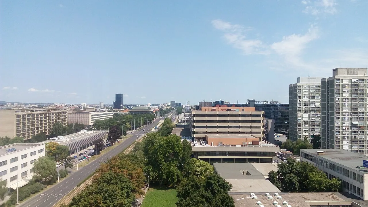
Zagreb County is a region. Location: Croatia. Population: 299,985.
Zagreb County (Croatian: Zagrebačka županija) is a county in Northern Croatia. It surrounds, but does not contain, the nation's capital Zagreb, which is a separate territorial unit. For that reason, the county is often nicknamed "Zagreb ring" (Croatian: zagrebački prsten). According to the 2021 census, the county has 299,985 inhabitants, most of whom live in smaller urban satellite towns. The Zagreb County once included the city of Zagreb, but in 1997 they separated, when the City was given a special status.
Read more on Wikipedia Text: Wikipedia contributors · CC BY-SA 4.0 · shortened
Places bordering Zagreb County
- Zagreb
- Krapina-Zagorje County
- Varaždin County
- Koprivnica-Križevci County
- Bjelovar-Bilogora County
- Sisak-Moslavina County
- Karlovac County
- City of Zagreb
Climate of Zagreb County
Best months for sightseeingBest months for sightseeing: May–September.
Bars: average monthly low and high temperature. Below: precipitation. Monthly averages for 1970–2000 at about 18 km resolution, adjusted for elevation. Highlighted months are mild and relatively dry. Source: WorldClim 2.1 (CC BY 4.0).
Show values as a table
| Month | Jan | Feb | Mar | Apr | May | Jun | Jul | Aug | Sep | Oct | Nov | Dec |
|---|---|---|---|---|---|---|---|---|---|---|---|---|
| Average high (°C) | 3° | 6° | 12° | 16° | 21° | 24° | 27° | 26° | 22° | 16° | 9° | 4° |
| Average low (°C) | -3° | -2° | 2° | 6° | 10° | 13° | 15° | 15° | 11° | 7° | 2° | -2° |
| Precipitation (mm) | 51 | 47 | 57 | 67 | 75 | 92 | 78 | 88 | 82 | 82 | 85 | 61 |
Other places to visit in this season: May June July August September
Airports nearest to Zagreb County
- Zagreb Franjo Tuđman International Airport (ZAG) Velika Gorica 1 km
- Maribor Edvard Rusjan Airport (MBX) Maribor 87 km
- Banja Luka International Airport (BNX) Mahovljani 131 km
Straight-line distance; airports with scheduled flights only. Source: OurAirports (public domain).
Places in Zagreb County
36 places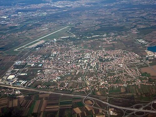
City of Velika Gorica
Population: 61.1K
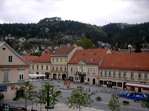
Town of Samobor
Population: 37.4K
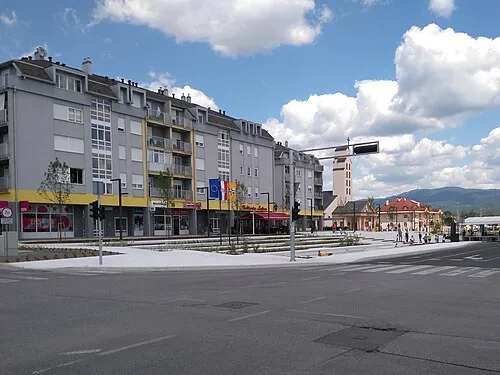
Town of Zaprešić
Population: 24.1K
Town of Sveta Nedelja
Population: 18.2K
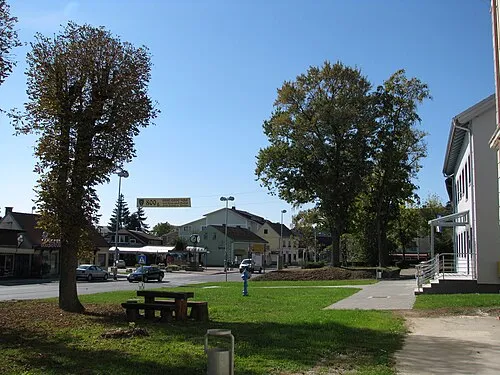
Town of Dugo Selo
Population: 17.7K
Town of Sveti Ivan Zelina
Population: 14.6K
- 7 Town of Jastrebarsko 14.6K
- 8 Town of Ivanić-Grad 13K
- 9 Town of Vrbovec 13K
- 10 Municipality of Brdovec 10.7K
- 11 Municipality of Rugvica 7.1K
- 12 Municipality of Bistra 6.4K
- 13 Municipality of Križ 6.1K
- 14 Municipality of Brckovljani 5.9K
- 15 Municipality of Kloštar Ivanić 5.5K
- 16 Municipality of Klinča Sela 5K
- 17 Municipality of Dubrava 4.5K
- 18 Municipality of Stupnik 3.9K
- 19 Municipality of Jakovlje 3.8K
- 20 Municipality of Pisarovina 3.5K
- 21 Municipality of Gradec 3.2K
- 22 Municipality of Pušća 2.6K
- 23 Municipality of Krašić 2.2K
- 24 Municipality of Marija Gorica 2.1K
- 25 Municipality of Pokupsko 1.9K
- 26 Municipality of Kravarsko 1.8K
- 27 Municipality of Orle 1.8K
- 28 Municipality of Farkaševac 1.6K
- 29 Municipality of Bedenica 1.3K
- 30 Municipality of Luka 1.3K
- 31 Municipality of Dubravica 1.2K
- 32 Municipality of Rakovec 1.1K
- 33 Municipality of Preseka 1.1K
- 34 Municipality of Žumberak 609
Bar: population relative to the most populous place in this list.
-
Golinja River
-
Novi Dvori Historic site
Largest cities and towns
-
Zaprešić City, Town of Zaprešić18.8K
-
Dugo Selo City, Town of Dugo Selo11.1K
-
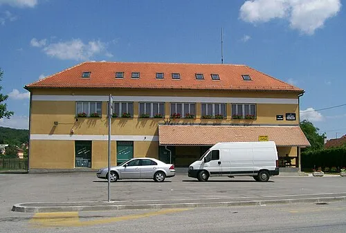 Brdovec City, Municipality of Brdovec2.8K
-
 Jakovlje City, Municipality of Jakovlje2.6K
-
Velika Gorica City, City of Velika Gorica30K
-
Samobor City, Town of Samobor16.9K
-
Velika Mlaka Village, City of Velika Gorica3.4K
-
Klinča Sela City, Municipality of Klinča Sela1.8K
Sources & licences
Data last updated: · 2 independent sources