Arrondissement of Mauriac
Located in Cantal, Auvergne-Rhône-Alpes Coordinates: 45°13′06″ N 2°20′13″ E
- Population
- 24,990
- 25K
- Elevation
- 706 m
- above sea level
- Local time
- UTC+01:00
- Europe/Paris · UTC+01:00
- Places inside
- 55
- listed under Arrondissement of Mauriac
- Airports
- AUR Aurillac airport37 km
- BVE Brive Souillac airport70 km
About Arrondissement of Mauriac
Arrondissement of Mauriac is a municipality. Location: Cantal, Auvergne-Rhône-Alpes. Population: 24,990. Elevation: 706 m. The best months to visit are June–August. The nearest airport is Aurillac airport (37 km). Nearby sights include Mars and Marlhioux.
Photos of Arrondissement of Mauriac
-
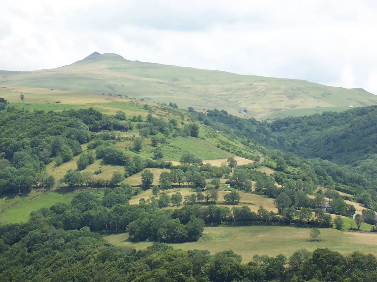
Puy Violent B.navez · CC BY-SA 3.0 -
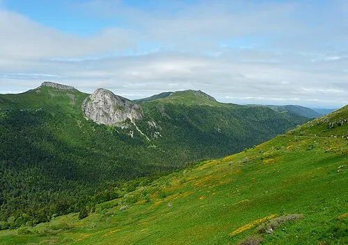
Roche Taillade Père Igor · CC BY-SA 4.0 -
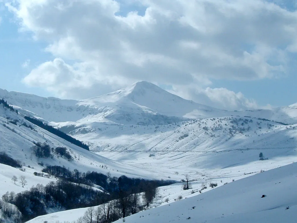
Puy Mary Wikimedia Commons · CC BY-SA 3.0 -
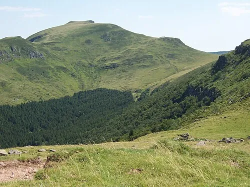
Puy Chavaroche B.navez · CC BY-SA 3.0 -
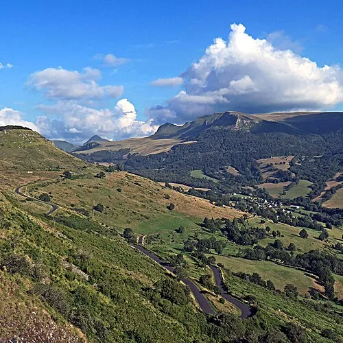
Roc des Ombres Pom' · CC BY-SA 2.0


Climate of Arrondissement of Mauriac
Best months for sightseeingBest months for sightseeing: June–August.
This month · November
A cold month
Day 9° · Night 1° · Rain 67 mm
- Hottest month
- July (day 23°)
- Coldest month
- January (night -2°)
- Wettest month
- May (88 mm)
- Driest month
- March (51 mm)
Bars: average monthly low and high temperature. Below: precipitation. Monthly averages for 1970–2000 at about 18 km resolution, adjusted for elevation. Highlighted months are mild and relatively dry. Source: WorldClim 2.1 (CC BY 4.0).
Show values as a table
| Month | Jan | Feb | Mar | Apr | May | Jun | Jul | Aug | Sep | Oct | Nov | Dec |
|---|---|---|---|---|---|---|---|---|---|---|---|---|
| Average high (°C) | 6° | 7° | 10° | 13° | 17° | 20° | 23° | 23° | 20° | 15° | 9° | 7° |
| Average low (°C) | -2° | -1° | 1° | 3° | 7° | 9° | 12° | 11° | 8° | 6° | 1° | -1° |
| Precipitation (mm) | 62 | 58 | 51 | 66 | 88 | 77 | 57 | 70 | 76 | 82 | 67 | 65 |
How to get to Arrondissement of Mauriac
The nearest airport is Aurillac airport (AUR), 37 km to the south as the crow flies. For international flights: Clermont-Ferrand Auvergne airport (CFE) (91 km). The nearest large city is Clermont-Ferrand, 86 km to the northeast.
Airports
- Aurillac airport (AUR) Aurillac 37 kmsouth
- Brive Souillac airport (BVE) Brive 70 kmwest
- Clermont-Ferrand Auvergne airport (CFE) Clermont-Ferrand 91 kmnortheast
Nearby large cities
- Clermont-Ferrand Population: 147.9K 86 kmnortheast
- Limoges Population: 141.2K 109 kmnorthwest
- Saint-Etienne Population: 176.3K 163 kmeast
- Toulouse Population: 511.7K 193 kmsouth
- Lyon Population: 520.8K 205 kmeast
Straight-line distances; road distances are longer. Airport data: OurAirports.
Day trips from Arrondissement of Mauriac
Within 100 km: 160 historic and cultural sites, 392 natural sites, 209 lakes, rivers and coasts.
0–25 km49 places
- Lac de Madic Lake 20 kmNE
- Puy d'Aubassin Mountain 16 kmW
- Suc de Gramont Mountain 19 kmE
- Pyramide Mountain 22 kmNE
25–60 km303 places
- Ancien îlot Gambetta Island 34 kmS
- Étang de Taysse Lake 34 kmW
- Étang de Ruffaud Lake 38 kmW
- Étang du Prévôt Lake 29 kmW
60–100 km409 places
- Vassivière Island 75 kmNW
- Étang de Tix Lake 72 kmN
- Lac de Tazenat Lake 99 kmNE
- Lac de Servière Lake 63 kmNE
Straight-line distances.
Places in Arrondissement of Mauriac
55 places- 1 Mauriac 3.7K
- 2 Riom-ès-Montagnes 2.5K
- 3 Ydes 1.7K
- 4 Pleaux 1.5K
- 5 Lanobre 1.4K
- 6 Champagnac 1.1K
- 7 Champs-sur-Tarentaine-Marchal 1.1K
- 8 Saignes 845
- 9 Le Vigean 825
- 10 Anglards-de-Salers 781
- 11 Saint-Martin-Valmeroux 763
- 12 Ally 612
- 13 Menet 567
- 14 Trizac 519
- 15 Vebret 507
- 16 Chalvignac 457
- 17 Jaleyrac 366
- 18 Drugeac 346
- 19 Salers 329
- 20 Antignac 282
- 21 Saint-Bonnet-de-Salers 281
- 22 Le Monteil 278
- 23 Moussages 272
- 24 Saint-Chamant 237
- 25 Valette 232
- 26 Bassignac 227
- 27 Chaussenac 220
- 28 Saint-Étienne-de-Chomeil 215
- 29 Sainte-Eulalie 211
- 30 Sauvat 209
- 31 Madic 207
- 32 Fontanges 202
- 33 Sourniac 202
- 34 Apchon 187
- 35 Trémouille 177
- 36 Arches 176
- 37 Méallet 173
- 38 Auzers 163
- 39 Collandres 149
- 40 Saint-Martin-Cantalès 148
- 41 Salins 145
- 42 Saint-Projet-de-Salers 138
- 43 Saint-Pierre 135
- 44 Barriac-les-Bosquets 127
- 45 Le Falgoux 124
- 46 Saint-Hippolyte 116
- 47 Veyrières 109
- 48 La Monselie 106
- 49 Saint-Paul-de-Salers 105
- 50 Beaulieu 92
- 51 Escorailles 78
- 52 Brageac 73
- 53 Le Vaulmier 70
- 54 Saint-Vincent-de-Salers 66
- 55 Le Fau 30
Bar: population relative to the most populous place in this list.
Nearby attractions & nature
Everything nearby-
Mars River, Cantal10 km NE
-
Marlhioux River, Cantal10 km NE
-
Auze River, Cantal10 km W
-
Ruisseau le Mardaret River, Cantal11 km NE
-
Sumène River, Cantal12 km N
-
Triouzoune River, New Aquitaine11 km N
-
Abbaye de la Valette Historic site, Auriac13 km W
-
Bois de Cournil Natural site, Cantal22 km E
Sources & licences
Data last updated: