Arrondissement of Saint-Flour
Located in Cantal, Auvergne-Rhône-Alpes Coordinates: 45°05′20″ N 2°59′24″ E
- Population
- 36,601
- 36.6K
- Elevation
- 967 m
- above sea level
- Local time
- UTC+01:00
- Europe/Paris · UTC+01:00
- Places inside
- 98
- listed under Arrondissement of Saint-Flour
- Airports
- AUR Aurillac airport50 km
- CFE Clermont-Ferrand Auvergne airport79 km
About Arrondissement of Saint-Flour
Arrondissement of Saint-Flour is a municipality. Location: Cantal, Auvergne-Rhône-Alpes. Population: 36,601. Elevation: 967 m. The best months to visit are July–August. The nearest airport is Aurillac airport (50 km). Nearby sights include Allanche and Plomb du Cantal.
Photos of Arrondissement of Saint-Flour
-
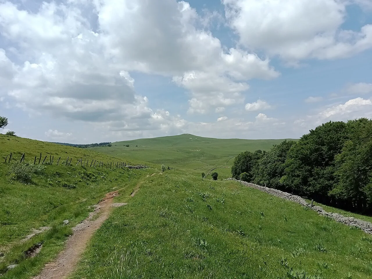
Puy de Gudette Rémih · CC BY-SA 4.0 -
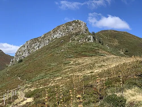
Puy Bataillouse Marie-Lan Taÿ Pamart · CC BY 4.0 -
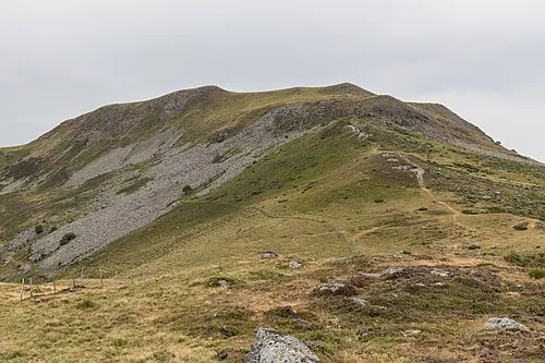
Puy de Niermont Pymouss · CC BY-SA 4.0 -
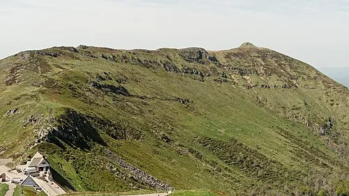
Puy de la Tourte Marie-Lan Nguyen · CC BY 4.0 -
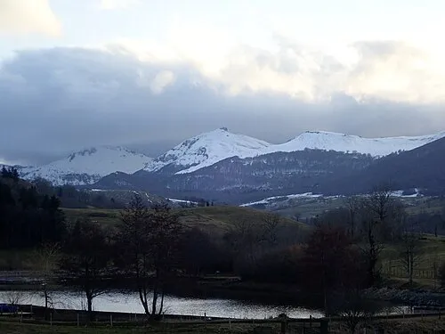
Suc de la Blatte Jmp48 · CC BY-SA 4.0


Climate of Arrondissement of Saint-Flour
Best months for sightseeingBest months for sightseeing: July–August.
This month · November
A cold month
Day 8° · Night 0° · Rain 80 mm
- Hottest month
- July (day 23°)
- Coldest month
- January (night -3°)
- Wettest month
- October (100 mm)
- Driest month
- March (58 mm)
Bars: average monthly low and high temperature. Below: precipitation. Monthly averages for 1970–2000 at about 18 km resolution, adjusted for elevation. Highlighted months are mild and relatively dry. Source: WorldClim 2.1 (CC BY 4.0).
Show values as a table
| Month | Jan | Feb | Mar | Apr | May | Jun | Jul | Aug | Sep | Oct | Nov | Dec |
|---|---|---|---|---|---|---|---|---|---|---|---|---|
| Average high (°C) | 4° | 5° | 8° | 11° | 15° | 19° | 23° | 22° | 19° | 14° | 8° | 5° |
| Average low (°C) | -3° | -3° | -1° | 1° | 5° | 8° | 10° | 10° | 7° | 5° | 0° | -2° |
| Precipitation (mm) | 76 | 66 | 58 | 74 | 98 | 80 | 59 | 73 | 82 | 100 | 80 | 76 |
How to get to Arrondissement of Saint-Flour
The nearest airport is Aurillac airport (AUR), 50 km to the southwest as the crow flies. For international flights: Clermont-Ferrand Auvergne airport (CFE) (79 km). The nearest large city is Clermont-Ferrand, 77 km to the north.
Airports
- Aurillac airport (AUR) Aurillac 50 kmsouthwest
- Clermont-Ferrand Auvergne airport (CFE) Clermont-Ferrand 79 kmnorth
- Rodez–Aveyron Airport (RDZ) Rodez/Marcillac 86 kmsouthwest
Nearby large cities
- Clermont-Ferrand Population: 147.9K 77 kmnorth
- Saint-Etienne Population: 176.3K 116 kmeast
- Limoges Population: 141.2K 159 kmnorthwest
- Lyon Population: 520.8K 163 kmnortheast
- Villeurbanne Population: 131.4K 166 kmnortheast
Straight-line distances; road distances are longer. Airport data: OurAirports.
Day trips from Arrondissement of Saint-Flour
Within 100 km: 189 historic and cultural sites, 564 natural sites, 219 lakes, rivers and coasts.
0–25 km81 places
- Lac de Grandval Lake 20 kmS
- Puy Griou Mountain 22 kmW
- Puy de Peyre arse Mountain 22 kmW
- Puy Gros Mountain 21 kmW
25–60 km364 places
- Ancien îlot Gambetta Island 46 kmSW
- Lac Pavin Lake 46 kmN
- Lac de Montcineyre Lake 42 kmN
- Lac de Madic Lake 52 kmNW
60–100 km527 places
- Puy Bien Mountain 91 kmNE
- Étang de Tix Lake 92 kmNW
- Lac de Tazenat Lake 99 kmN
- Étang de Taysse Lake 87 kmW
Straight-line distances.
Places in Arrondissement of Saint-Flour
98 places- 1 Saint-Flour 6.5K
- 2 Murat 1.9K
- 3 Neussargues en Pinatelle 1.8K
- 4 Neuvéglise-sur-Truyère 1.8K
- 5 Massiac 1.7K
- 6 Saint-Georges 1.2K
- 7 Condat 1K
- 8 Val d'Arcomie 993
- 9 Pierrefort 903
- 10 Chaudes-Aigues 886
- 11 Allanche 776
- 12 Ruynes-en-Margeride 687
- 13 Roffiac 611
- 14 Les Ternes 588
- 15 Talizat 585
- 16 Valuéjols 560
- 17 Villedieu 549
- 18 Laveissière 534
- 19 Marcenat 510
- 20 Ussel 478
- 21 Coltines 462
- 22 Andelat 461
- 23 Saint-Urcize 447
- 24 Coren 426
- 25 Paulhac 405
- 26 Saint-Poncy 351
- 27 Anglards-de-Saint-Flour 347
- 28 Molompize 288
- 29 La Chapelle-Laurent 280
- 30 Dienne 273
- 31 Vieillespesse 257
- 32 Paulhenc 249
- 33 Vabres 249
- 34 La Chapelle-d'Alagnon 247
- 35 Ferrières-Saint-Mary 244
- 36 Albepierre-Bredons 243
- 37 Saint-Martin-sous-Vigouroux 240
- 38 Tanavelle 238
- 39 Cheylade 229
- 40 Saint-Amandin 227
- 41 Cézens 221
- 42 Alleuze 212
- 43 Clavières 211
- 44 Saint-Saturnin 206
- 45 Ségur-les-Villas 202
- 46 Montboudif 189
- 47 Brezons 188
- 48 Le Claux 187
- 49 Lorcières 175
- 50 Tiviers 169
- 51 Chaliers 168
- 52 Bonnac 165
- 53 Lieutadès 165
- 54 Auriac-lÉglise 158
- 55 Jabrun 158
- 56 Saint-Mary-le-Plain 158
- 57 Peyrusse 154
- 58 Marchastel 153
- 59 Joursac 147
- 60 Lugarde 147
Bar: population relative to the most populous place in this list.
Nearby attractions & nature
Everything nearby-
Allanche River, Cantal5.6 km N
-
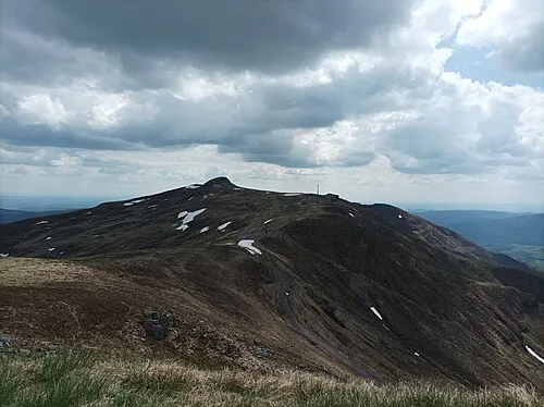 Plomb du Cantal Mountain, Saint-Jacques-des-Blats18 km W
-
Bois de la Piniatelle Natural site, Cantal13 km NW
-
Forêt de Murat Natural site, Cantal14 km W
-
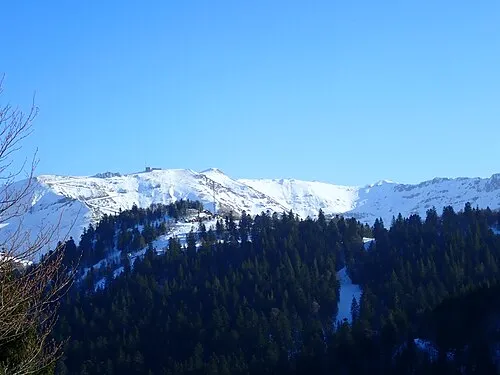 Puy Brunet Mountain, Saint-Jacques-des-Blats19 km W
-
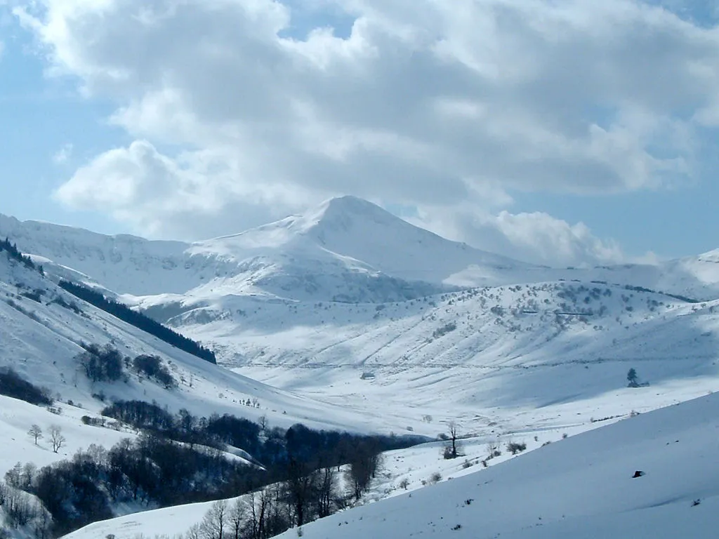 Puy Mary Mountain, Le Falgoux25 km W
-
Monts du Cantal Mountain, Cantal19 km W
-
Forêt du Lioran Natural site, Cantal19 km W
Sources & licences
Data last updated: