- Elevation
- 449 m
- above sea level
- Local time
- UTC+01:00
- Europe/Paris · UTC+01:00
- Airports
- NCY Annecy Meythet airport18 km
- CMF Chambéry Aix les Bains airport32 km
About Eau Morte
Eau Morte is a river. Location: Upper Savoy, Auvergne-Rhône-Alpes. The best months to visit are May–September. The nearest airport is Annecy Meythet airport (18 km). Nearby sights include Pointe de Chenevier and Pointe Chenivier.
Photos of Eau Morte
-
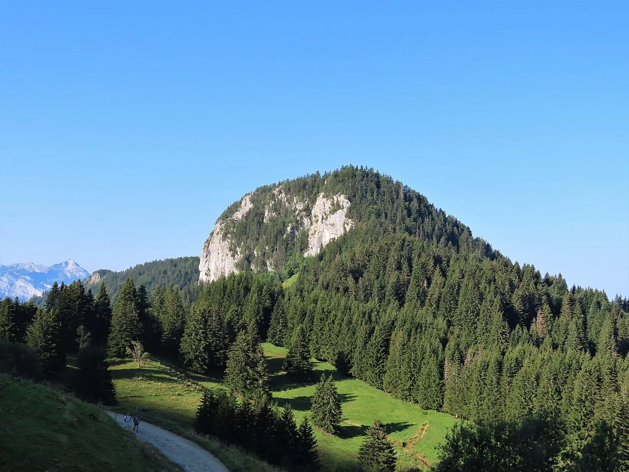
Roche de Roux Rémih · CC BY-SA 4.0 -
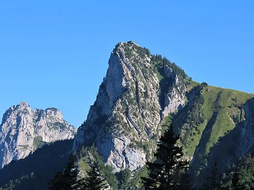
Roche Murraz Rémih · CC BY-SA 4.0 -
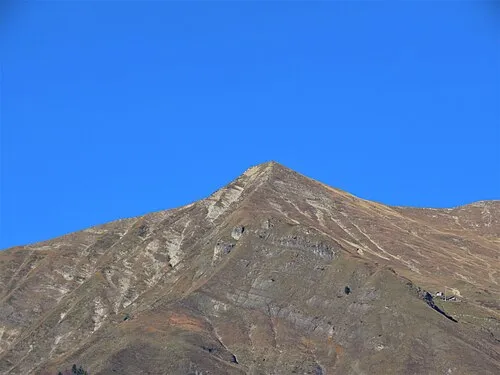
Pointe aux Frettes Rémih · CC BY-SA 4.0 -
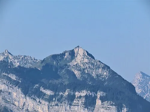
Pointe de Banc Plat Rémih · CC BY-SA 4.0 -
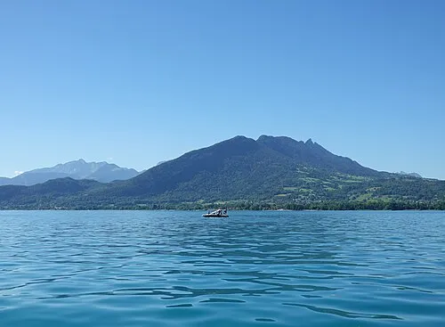
Roc des Boeufs Guilhem Vellut from Annecy, France · CC BY 2.0


Climate of Eau Morte
Best months for sightseeingBest months for sightseeing: May–September.
This month · November
A wet month
Day 11° · Night 4° · Rain 127 mm
- Hottest month
- July (day 26°)
- Coldest month
- January (night 0°)
- Wettest month
- November (127 mm)
- Driest month
- July (85 mm)
Bars: average monthly low and high temperature. Below: precipitation. Monthly averages for 1970–2000 at about 18 km resolution, adjusted for elevation. Highlighted months are mild and relatively dry. Source: WorldClim 2.1 (CC BY 4.0).
Show values as a table
| Month | Jan | Feb | Mar | Apr | May | Jun | Jul | Aug | Sep | Oct | Nov | Dec |
|---|---|---|---|---|---|---|---|---|---|---|---|---|
| Average high (°C) | 7° | 8° | 11° | 14° | 19° | 23° | 26° | 26° | 22° | 17° | 11° | 8° |
| Average low (°C) | 0° | 1° | 3° | 6° | 10° | 13° | 15° | 15° | 12° | 8° | 4° | 1° |
| Precipitation (mm) | 112 | 112 | 96 | 89 | 101 | 107 | 85 | 85 | 102 | 114 | 127 | 124 |
Other places to visit in this season: May June July August September
How to get to Eau Morte
The nearest airport is Annecy Meythet airport (NCY), 18 km to the northwest as the crow flies. For international flights: Geneva International Airport (GVA) (50 km). The nearest large city is Geneva, 46 km to the north.
Airports
- Annecy Meythet airport (NCY) Annecy 18 kmnorthwest
- Chambéry Aix les Bains airport (CMF) Chambéry 32 kmsouthwest
- Geneva International Airport (GVA) Geneva 50 kmnorth
Nearby large cities
- Geneva Population: 201.7K 46 kmnorth
- Grenoble Population: 158.6K 79 kmsouthwest
- Lausanne Population: 139.1K 86 kmnorth
- Villeurbanne Population: 131.4K 105 kmwest
- Lyon Population: 520.8K 107 kmwest
Straight-line distances; road distances are longer. Airport data: OurAirports.
Day trips from Eau Morte
Within 100 km: 159 historic and cultural sites, 2,207 natural sites, 359 lakes, rivers and coasts.
0–25 km146 places
- Plage de Menthon Saint Bernard Beach 8 kmN
- Plage d'Albigny Beach 13 kmNW
- Plage St Jorioz Beach 7 kmNW
- Lake Annecy Lake 7 kmNW
25–60 km736 places
- Etang du Moulin de Vert Lake 46 kmN
- Etang du Moulin de Vert Lake 46 kmN
- Lac du Vieux Emosson Lake 59 kmNE
- Lac Vert Lake 58 kmNE
60–100 km1,843 places
- Ile de Salagnon Island 88 kmNE
- Lac Mort Lake 92 kmS
- Lac de Joux Lake 94 kmN
- Lake Leman Lake 74 kmN
Straight-line distances.
Nearest towns and villages
-
Doussard Village, Arrondissement of Annecy2.4 km S
-
Doussard Village, Doussard2.4 km S
-
Lathuile Village, Arrondissement of Annecy2.4 km SW
-
Lathuile Village, Lathuile2.2 km SW
-
Entrevernes Village, Arrondissement of Annecy2.9 km W
-
Entrevernes Village, Entrevernes2.9 km W
Nearby attractions & nature
Everything nearby-
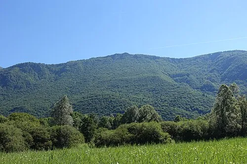 Pointe de Chenevier Mountain, Doussard1.8 km E
-
Pointe Chenivier Mountain, Talloires-Montmin1.9 km E
-
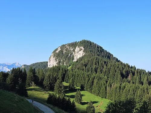 Roche de Roux Mountain, Talloires-Montmin3.8 km NE
-
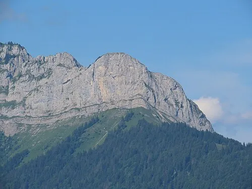 Pointe de Chauriande Mountain, Saint-Ferréol5 km E
-
Pointe aux Frettes Mountain, Serraval5.6 km E
-
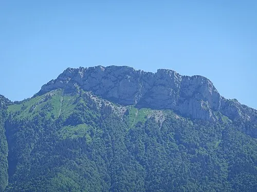 Lanfonnet Mountain, Talloires-Montmin6.2 km N
-
Roc des Boeufs Mountain, Entrevernes6.6 km SW
-
Roche Murraz Mountain, Talloires-Montmin6.2 km N
More lakes, rivers and coasts in France
-
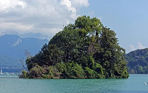 Île des Cygnes Island, Upper Savoy13 km NW
-
Plage St Jorioz Beach, Saint-Jorioz6.7 km NW
-
Lake Annecy Lake, Upper Savoy7.2 km NW
-
Plage de Menthon Saint Bernard Beach, Menthon-Saint-Bernard8.1 km N
-
Nant de Tamié River, Upper Savoy9.2 km SE
-
Torrent le Nom River, Upper Savoy12 km NE
Sources & licences
Data last updated: