Arrondissement of Lure
Located in Haute-Saône, Bourgogne-Franche-Comté Coordinates: 47°45′45″ N 6°27′15″ E
- Population
- 106,255
- 106.3K
- Elevation
- 306 m
- above sea level
- Local time
- UTC+01:00
- Europe/Paris · UTC+01:00
- Places inside
- 190
- listed under Arrondissement of Lure
- Airports
- BSL EuroAirport Basel–Mulhouse–Freiburg82 km
- DLE Dole Tavaux Airport112 km
About Arrondissement of Lure
Arrondissement of Lure is a municipality. Location: Haute-Saône, Bourgogne-Franche-Comté. Population: 106,255. Elevation: 306 m. The best months to visit are May–September. The nearest airport is EuroAirport Basel–Mulhouse–Freiburg (82 km). Nearby sights include Bois des Franches Communes and Breuchin.
Photos of Arrondissement of Lure
-
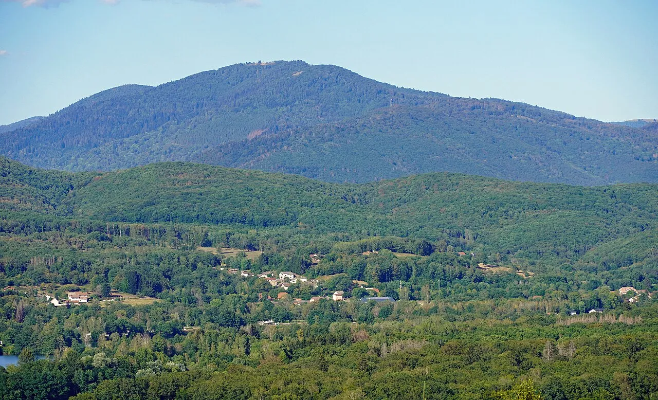
La Planche des Belles Filles A.BourgeoisP · CC BY-SA 4.0 -
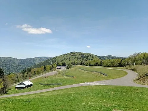
Ballon Saint-Antoine Rémih · CC BY-SA 4.0 -
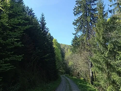
Tête des Fougères Rémih · CC BY-SA 4.0 -
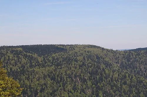
Plateau de Bravouse Rémih · CC BY-SA 4.0 -
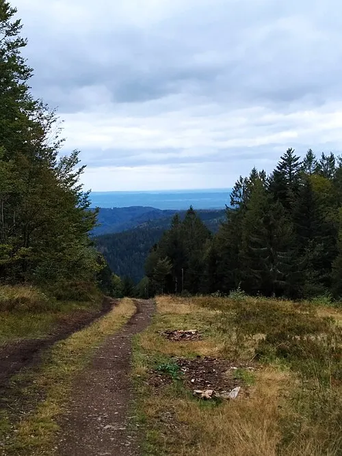
Le Ballon PARMENTIER Sébastien · CC BY-SA 4.0


Climate of Arrondissement of Lure
Best months for sightseeingBest months for sightseeing: May–September.
This month · November
A wet month
Day 9° · Night 1° · Rain 103 mm
- Hottest month
- July (day 25°)
- Coldest month
- January (night -2°)
- Wettest month
- December (105 mm)
- Driest month
- March (75 mm)
Bars: average monthly low and high temperature. Below: precipitation. Monthly averages for 1970–2000 at about 18 km resolution, adjusted for elevation. Highlighted months are mild and relatively dry. Source: WorldClim 2.1 (CC BY 4.0).
Show values as a table
| Month | Jan | Feb | Mar | Apr | May | Jun | Jul | Aug | Sep | Oct | Nov | Dec |
|---|---|---|---|---|---|---|---|---|---|---|---|---|
| Average high (°C) | 5° | 7° | 11° | 14° | 19° | 22° | 25° | 25° | 20° | 15° | 9° | 5° |
| Average low (°C) | -2° | -2° | 1° | 3° | 8° | 11° | 13° | 12° | 9° | 5° | 1° | -1° |
| Precipitation (mm) | 90 | 83 | 75 | 75 | 94 | 96 | 84 | 75 | 86 | 92 | 103 | 105 |
Other places to visit in this season: May June July August September
How to get to Arrondissement of Lure
The nearest airport is EuroAirport Basel–Mulhouse–Freiburg (BSL), 82 km to the east as the crow flies. The nearest large city is Mulhouse, 66 km to the east.
Airports
- EuroAirport Basel–Mulhouse–Freiburg (BSL) Bâle / Mulhouse 82 kmeast
- Dole Tavaux Airport (DLE) Dole 112 kmsouthwest
- Strasbourg Airport (SXB) Strasbourg 123 kmnortheast
Nearby large cities
- Mulhouse Population: 111.4K 66 kmeast
- Besançon Population: 128.4K 66 kmsouthwest
- Basel Population: 177.6K 87 kmeast
- Nancy Population: 105.1K 104 kmnorth
- Freiburg im Breisgau Population: 237.5K 108 kmeast
Straight-line distances; road distances are longer. Airport data: OurAirports.
Day trips from Arrondissement of Lure
Within 100 km: 290 historic and cultural sites, 756 natural sites, 187 lakes, rivers and coasts.
0–25 km28 places
- Mont Jarroz Mountain 9 kmSW
- Les Bois de Saulnot Natural site 23 kmSE
- Forêt de Saint-Antoine Natural site 24 kmE
- Bois du Rey Natural site 20 kmN
25–60 km366 places
- Pisciculture Lake 59 kmSE
- Pisciculture Lake 59 kmSE
- La Faulx d'Enson Mountain 58 kmSE
- Préhisto-Parc de Réclère Natural site 57 kmSE
60–100 km839 places
- Sankt Petersinsel Island 93 kmSE
- Lake Neuchâtel Lake 98 kmS
- Lake Biel Lake 93 kmSE
- Häftli Lake 96 kmSE
Straight-line distances.
Arrondissement of Lure and similar cities
Side by side with cities of similar size in the same country: population, elevation and climate.
| Measure | Arrondissement of Lure | Nancy | Boulogne-Billancourt | Caen |
|---|---|---|---|---|
| Population | 106.3K | 105.1K | 108.8K | 110.6K |
| Elevation | 306 m | 212 m | 35 m | 21 m |
| Summer day (hottest month) | 25° | 24° | 25° | 23° |
| Winter night (coldest month) | -2° | -1° | 2° | 3° |
| Annual rainfall | 1,058 mm | 789 mm | 632 mm | 754 mm |
| Best months | May–Sep | Jun–Sep | May–Sep | Jun–Sep |
| Distance | — | 104 km | 335 km | 528 km |
Climate values are 1970–2000 monthly averages; straight-line distance.
Places in Arrondissement of Lure
190 places- 61 La Chapelle-lès-Luxeuil 386
- 62 Clairegoutte 382
- 63 Trémoins 381
- 64 Granges-le-Bourg 380
- 65 Lyoffans 380
- 66 Froideterre 368
- 67 Vouhenans 366
- 68 Quers 356
- 69 Abelcourt 352
- 70 Lantenot 352
- 71 Amage 349
- 72 Malbouhans 347
- 73 Les Aynans 338
- 74 Mignavillers 338
- 75 La Neuvelle-lès-Lure 333
- 76 Coisevaux 332
- 77 Meurcourt 325
- 78 Bouhans-lès-Lure 322
- 79 Fallon 306
- 80 Ailloncourt 304
- 81 Villers-lès-Luxeuil 304
- 82 Breuchotte 303
- 83 Velleminfroy 301
- 84 Étobon 298
- 85 Senargent-Mignafans 297
- 86 Adelans-et-le-Val-de-Bithaine 296
- 87 Demangevelle 289
- 88 Dambenoît-lès-Colombe 279
- 89 Mailleroncourt-Charette 274
- 90 Dampierre-lès-Conflans 266
- 91 Crevans-et-la-Chapelle-lès-Granges 264
- 92 Hautevelle 264
- 93 Faymont 261
- 94 Frédéric-Fontaine 260
- 95 Errevet 250
- 96 Jasney 248
- 97 Genevrey 246
- 98 Arpenans 245
- 99 Briaucourt 243
- 100 Mandrevillars 242
- 101 Éhuns 240
- 102 Melincourt 238
- 103 Mollans 237
- 104 Palante 236
- 105 Chavanne 235
- 106 Moimay 235
- 107 La Longine 227
- 108 Velorcey 215
- 109 La Bruyère 214
- 110 La Vaivre 213
- 111 Sainte-Marie-en-Chanois 213
- 112 Selles 213
- 113 La Lanterne-et-les-Armonts 210
- 114 Pomoy 210
- 115 Villafans 210
- 116 Brotte-lès-Luxeuil 208
- 117 Andornay 206
- 118 Échavanne 205
- 119 Belonchamp 201
- 120 Mailleroncourt-Saint-Pancras 191
Bar: population relative to the most populous place in this list.
Nearby attractions & nature
Everything nearby-
Bois des Franches Communes Natural site, Haute-Saône5.2 km S
-
Breuchin River, Haute-Saône13 km W
-
Bois de Conflans Natural site, Haute-Saône16 km W
-
Forêt de Saint-Antoine Natural site, Haute-Saône24 km E
-
Bois de Nan Natural site, Haute-Saône25 km SE
-
Forêt de Grange Natural site, Haute-Saône22 km SE
-
Combeauté River, Haute-Saône19 km NW
-
Bois du Lyaumont Natural site, Haute-Saône25 km NW
Sources & licences
Data last updated: