- Elevation
- 228 m
- above sea level
- Local time
- UTC+01:00
- Europe/Paris · UTC+01:00
- Airports
- BSL EuroAirport Basel–Mulhouse–Freiburg26 km
- SXB Strasbourg Airport79 km
About Forêt Domaniale de la Hardt Nord
Forêt Domaniale de la Hardt Nord is a natural site. Location: Haut-Rhin, Grand Est. The best months to visit are May–September. The nearest airport is EuroAirport Basel–Mulhouse–Freiburg (26 km). Nearby sights include Forêt Domaniale de la Hardt and Bois de Rothleible.
Climate of Forêt Domaniale de la Hardt Nord
Best months for sightseeingBest months for sightseeing: May–September.
This month · November
A cold month
Day 9° · Night 2° · Rain 55 mm
- Hottest month
- July (day 25°)
- Coldest month
- January (night -1°)
- Wettest month
- May (73 mm)
- Driest month
- March (40 mm)
Bars: average monthly low and high temperature. Below: precipitation. Monthly averages for 1970–2000 at about 18 km resolution, adjusted for elevation. Highlighted months are mild and relatively dry. Source: WorldClim 2.1 (CC BY 4.0).
Show values as a table
| Month | Jan | Feb | Mar | Apr | May | Jun | Jul | Aug | Sep | Oct | Nov | Dec |
|---|---|---|---|---|---|---|---|---|---|---|---|---|
| Average high (°C) | 5° | 6° | 11° | 15° | 20° | 23° | 25° | 25° | 21° | 15° | 9° | 6° |
| Average low (°C) | -1° | -1° | 2° | 4° | 9° | 12° | 14° | 13° | 10° | 6° | 2° | 0° |
| Precipitation (mm) | 45 | 46 | 40 | 48 | 73 | 69 | 67 | 60 | 57 | 55 | 55 | 58 |
Other places to visit in this season: May June July August September
How to get to Forêt Domaniale de la Hardt Nord
The nearest airport is EuroAirport Basel–Mulhouse–Freiburg (BSL), 26 km to the south as the crow flies. The nearest large city is Mulhouse, 13 km to the southwest.
Airports
- EuroAirport Basel–Mulhouse–Freiburg (BSL) Bâle / Mulhouse 26 kmsouth
- Strasbourg Airport (SXB) Strasbourg 79 kmnorth
- Zürich Airport (ZRH) Zurich 92 kmsoutheast
Nearby large cities
- Mulhouse Population: 111.4K 13 kmsouthwest
- Basel Population: 177.6K 32 kmsouth
- Freiburg im Breisgau Population: 237.5K 35 kmnortheast
- Strasbourg Population: 274.8K 86 kmnorth
- Zurich Population: 415.4K 97 kmsoutheast
Straight-line distances; road distances are longer. Airport data: OurAirports.
Day trips from Forêt Domaniale de la Hardt Nord
Within 100 km: 473 historic and cultural sites, 1,534 natural sites, 459 lakes, rivers and coasts.
0–25 km132 places
- Schilzberg Mountain 16 kmE
- Schafberg Mountain 21 kmS
- Lausberg Mountain 19 kmE
- Homberg Mountain 13 kmE
25–60 km995 places
- Etangs Rougeat Lake 47 kmSW
- Basler Weiher Lake 48 kmS
- Pisciculture Lake 48 kmSW
- Rheinhafen Kleinhüningen Lake 29 kmS
60–100 km1,339 places
- Kleiner Bremgartenwald Mountain 96 kmS
- Fahr Abbey Attraction 88 kmSE
- Arbeiterstrandbad Tennwil Beach 82 kmSE
- Sankt Petersinsel Island 88 kmS
Straight-line distances.
Nearest towns and villages
-
Munchhouse Village, Arrondissement de Colmar-Ribeauvillé3.8 km N
-
Munchhouse Village, Munchhouse3.9 km N
-
Bantzenheim Village, Arrondissement of Mulhouse4.6 km E
-
Bantzenheim Village, Bantzenheim4.5 km E
-
Rumersheim-le-Haut Village, Arrondissement de Colmar-Ribeauvillé5.3 km E
-
Rumersheim-le-Haut Village, Rumersheim-le-Haut5.2 km E
Nearby attractions & nature
Everything nearby-
Forêt Domaniale de la Hardt Natural site, Haut-Rhin6.8 km S
-
Bois de Rothleible Natural site, Haut-Rhin7.8 km N
-
Forêt communale d'Ensisheim Natural site, Ensisheim9.6 km W
-
Himmelberg Mountain, Schliengen12 km SE
-
Hachberg Mountain, Müllheim13 km E
-
Forêt communale de Pulversheim Natural site, Pulversheim10 km W
-
Käferberg Mountain, Buggingen15 km E
-
Homberg Mountain, Buggingen15 km E
More nature in France
-
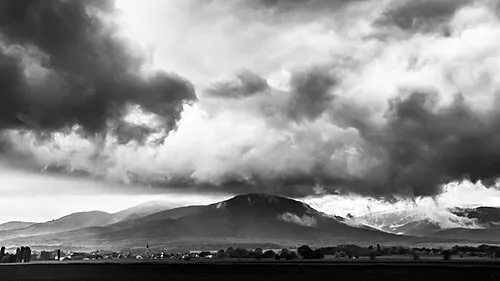 Hartmannswillerkopf Mountain, Wattwiller22 km W
-
Forêt Domaniale de la Hardt Sud Natural site, Haut-Rhin13 km S
-
Alt Wald Natural site, Haut-Rhin14 km NW
-
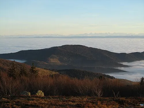 Le Molkenrain Mountain, Wattwiller25 km W
-
Bois de Nonnenbruch Natural site, Haut-Rhin14 km W
-
Rehbrunnenkopf Mountain, Rimbach-près-Guebwiller22 km W
Sources & licences
Data last updated: