- Population
- 35,544
- 35.5K
- Elevation
- 1 m
- above sea level
- Local time
- UTC+09:00
- Asia/Tokyo · UTC+09:00
- Airports
- NRT Narita International Airport60 km
- HND Tokyo Haneda International Airport66 km
About Isumi
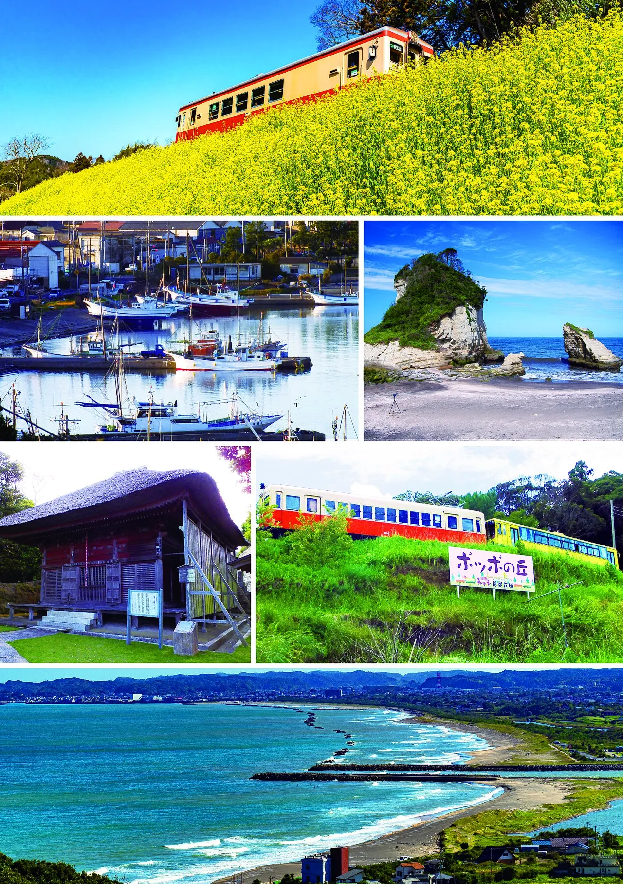
Isumi is a city. Location: Isumi Shi, Chiba. Population: 35,544. Elevation: 1 m.
Isumi (いすみ市, Isumi-shi; Japanese pronunciation: [í.sɨ̀.mʲì, -sɨ́.mʲí.ɕì]) is a city in Chiba Prefecture, Japan. As of 1 November 2020, the city had an estimated population of 37,206 in 17,004 households and a population density of 240 persons per km2. The total area of the city is 157.44 square kilometres (60.79 sq mi).
Source: Wikipedia · CC BY-SA 4.0
Places bordering Isumi
- Katsuura
- Ichinomiya Machi
- Mutsuzawa-machi
- Ōtaki
- Shinmachi
Twin towns and sister cities of Isumi
- Duluth· United States
- Minamiuonuma· Japan
- Naganohara Machi· Japan
Source: Wikidata. Only places with a page on this site are shown.
Population of Isumi over time
| 2010 | 40,962 | |
|---|---|---|
| 2015 | 38,594 | |
| 2021 | 35,570 |
Censuses and official estimates; source: Wikidata.
Climate of Isumi
Best months for sightseeingBest months for sightseeing: May–July, September–October.
This month · November
A wet month
Day 17° · Night 9° · Rain 136 mm
Better nearby cities in November
- Isehara · 101 km west18°
- Odawara · 113 km west19°
- Mishima · 136 km west18°
- Hottest month
- August (day 29°)
- Coldest month
- January (night 2°)
- Wettest month
- October (225 mm)
- Driest month
- December (72 mm)
Bars: average monthly low and high temperature. Below: precipitation. Monthly averages for 1970–2000 at about 18 km resolution, adjusted for elevation. Highlighted months are mild and relatively dry. Source: WorldClim 2.1 (CC BY 4.0).
Show values as a table
| Month | Jan | Feb | Mar | Apr | May | Jun | Jul | Aug | Sep | Oct | Nov | Dec |
|---|---|---|---|---|---|---|---|---|---|---|---|---|
| Average high (°C) | 10° | 11° | 13° | 18° | 21° | 24° | 27° | 29° | 26° | 22° | 17° | 13° |
| Average low (°C) | 2° | 2° | 5° | 10° | 14° | 18° | 21° | 23° | 20° | 15° | 9° | 4° |
| Precipitation (mm) | 73 | 96 | 148 | 142 | 154 | 200 | 127 | 143 | 212 | 225 | 136 | 72 |
Other places to visit in this season: May June July September October
How to get to Isumi
The nearest airport is Narita International Airport (NRT), 60 km to the north as the crow flies. The nearest large city is Ichihara, 43 km to the northwest.
Airports
- Narita International Airport (NRT) Narita 60 kmnorth
- Tokyo Haneda International Airport (HND) Tokyo 66 kmnorthwest
- Ibaraki Airport (IBR) Omitama 106 kmnorth
Nearby large cities
- Ichihara Population: 283.5K 43 kmnorthwest
- Kisarazu Population: 136.2K 46 kmwest
- Sakura Population: 173.7K 56 kmnorth
- Narashino Population: 176.2K 60 kmnorthwest
- Yachiyo Population: 199.5K 62 kmnorthwest
Straight-line distances; road distances are longer. Airport data: OurAirports.
Day trips from Isumi
Within 100 km: 47 historic and cultural sites, 18 natural sites, 31 lakes, rivers and coasts.
0–25 km4 places
- Isumi Gawa River 7 kmN
- Ichinomiya River River 18 kmN
- Uchiura Wan Natural site 23 kmSW
- Bōsō Peninsula Natural site 25 kmNW
25–60 km12 places
- Obitsu River River 50 kmNW
- Koito River River 52 kmW
- Tokyo Bay Natural site 60 kmW
- Ai River River 48 kmW
60–100 km80 places
- Jōga Shima Island 72 kmW
- Enoshima Island 84 kmW
- Mount Ōyama Natural site 70 kmW
- Sarushima Island 65 kmW
Straight-line distances.
Nearby attractions & nature
Everything nearby-
Isumi Gawa River, Chiba7.2 km N
-
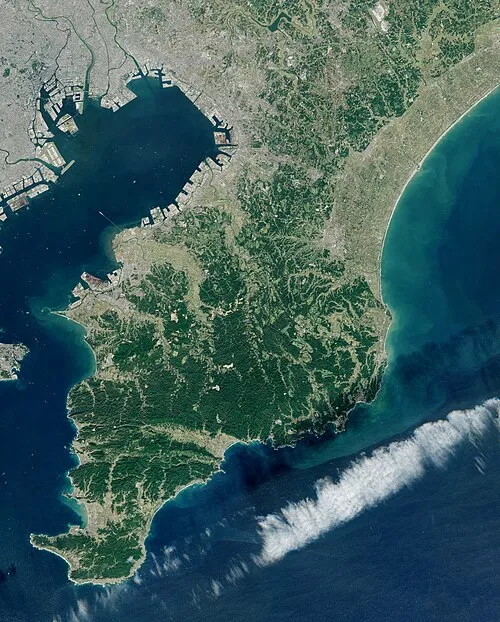 Bōsō Peninsula Natural site, Chiba25 km NW
-
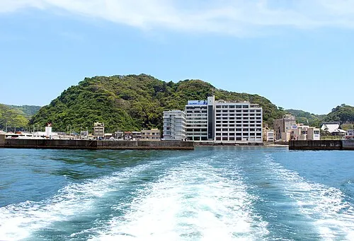 Uchiura Wan Natural site, Chiba23 km SW
-
Ichinomiya River River, Chiba18 km N
Sources & licences
Data last updated: · 2 independent sources