- Elevation
- 102 m
- above sea level
- Local time
- UTC+09:00
- Asia/Tokyo · UTC+09:00
- Airports
- TAK Takamatsu Airport37 km
- KCZ Kochi Ryoma Airport47 km
About Dōzan River
Dōzan River is a river. Location: Japan.
The Dōzan River (銅山川, Dōzan-gawa) is the largest branch of the Yoshino River and flows through Ehime and Tokushima prefectures in Japan. Its name was derived from the Besshi copper mine that is now closed. In Tokushima Prefecture, it is called the Iyo River (伊予川 Iyo-gawa).
Read more on Wikipedia Text: Wikipedia contributors · CC BY-SA 4.0 · shortened
At a glance
- Length
- 55 km
Source: Wikidata
Climate of Dōzan River
Best months for sightseeingBest months for sightseeing: May–June, September–October.
Bars: average monthly low and high temperature. Below: precipitation. Monthly averages for 1970–2000 at about 18 km resolution, adjusted for elevation. Highlighted months are mild and relatively dry. Source: WorldClim 2.1 (CC BY 4.0).
Show values as a table
| Month | Jan | Feb | Mar | Apr | May | Jun | Jul | Aug | Sep | Oct | Nov | Dec |
|---|---|---|---|---|---|---|---|---|---|---|---|---|
| Average high (°C) | 8° | 9° | 13° | 18° | 23° | 26° | 29° | 30° | 27° | 21° | 16° | 11° |
| Average low (°C) | 1° | 2° | 5° | 10° | 15° | 19° | 23° | 24° | 20° | 14° | 9° | 3° |
| Precipitation (mm) | 59 | 80 | 122 | 195 | 213 | 314 | 282 | 167 | 267 | 150 | 94 | 55 |
Other places to visit in this season: May June September October
Airports nearest to Dōzan River
- Takamatsu Airport (TAK) Takamatsu 37 km
- Kochi Ryoma Airport (KCZ) Nankoku 47 km
- Tokushima Awaodori Airport / JMSDF Tokushima Air Base (TKS) Tokushima 81 km
Straight-line distance; airports with scheduled flights only. Source: OurAirports (public domain).
Nearest towns and villages
-
Ikedachō Town, Miyoshi Shi8.9 km NE
-
Higashimiyoshi Chō Municipality, Miyoshi-gun17 km NE
-
Kawanoechō Town, Shikoku-chūō Shi17 km W
-
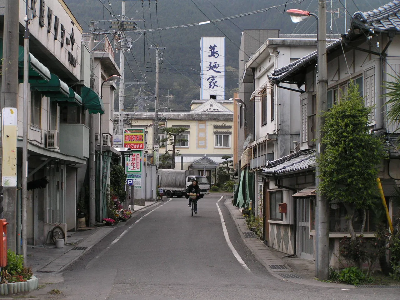 Shikokuchūō City, Shikoku-chūō Shi19 km W
-
Kan’onjichō Town, Kan’onji Shi21 km NW
-
Shingū Village, Shikoku-chūō Shi12 km W
More lakes, rivers and coasts in Japan
-
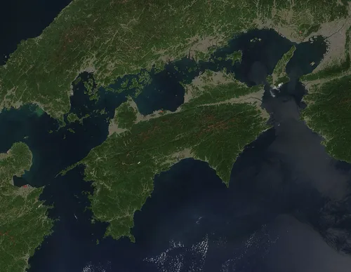 Shikoku Island, Japan33 km SW
-
 Shiwaku Islands Island, Kagawa47 km N
-
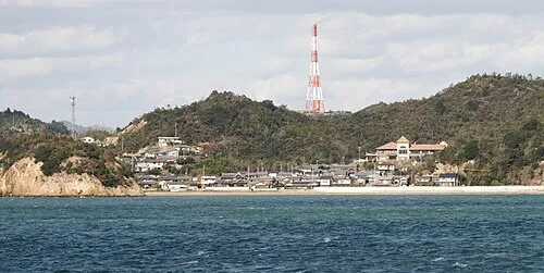 Nao Shima Island, Kagawa59 km N
-
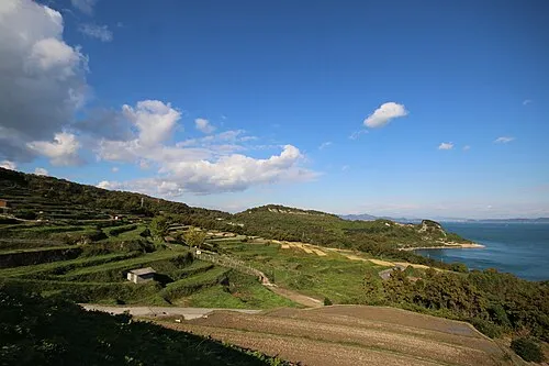 Te Shima Island, Kagawa65 km NE
-
 Awaji Island Island, Hyōgo110 km NE
-
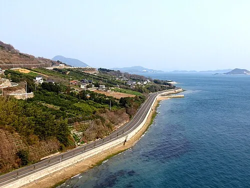 Ikuchi Jima Island, Hiroshima70 km NW
Sources & licences
Data last updated: · 2 independent sources