- Local time
- UTC+09:00
- Asia/Tokyo · UTC+09:00
- Airports
- FUK Fukuoka Airport23 km
- IKI Iki Airport42 km
About Genkai Island
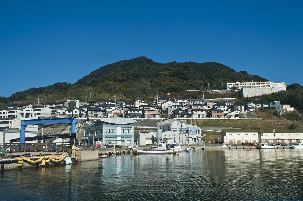
Genkai Island is an island. Location: Nishi, Fukuoka City.
Genkai Island (玄界島, Genkai-jima) is an island in Nishi-ku, Fukuoka, Japan. The island was seriously damaged by the 2005 Fukuoka earthquake. The affected areas of the island were reconstructed by 2008.
Source: Wikipedia · CC BY-SA 4.0
Photos of Genkai Island
-

Chihaya Sta · CC BY-SA 4.0 -

Chihaya Sta · CC BY-SA 4.0 -

ブルーノ・プラス · CC BY-SA 4.0 -
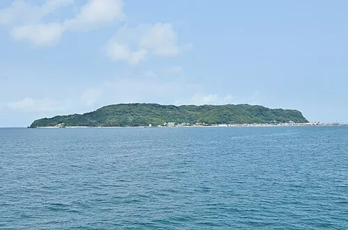
Shika Island Saigen Jiro · CC0


Climate of Genkai Island
Best months for sightseeingBest months for sightseeing: May–June, October.
This month · November
Outside the best season
Day 17° · Night 11° · Rain 78 mm
Better nearby cities in November
- Beppu · 126 km east17°
- Ōita · 137 km east18°
- Nobeoka · 182 km southeast18°
- Hottest month
- August (day 30°)
- Coldest month
- February (night 4°)
- Wettest month
- June (266 mm)
- Driest month
- December (60 mm)
Bars: average monthly low and high temperature. Below: precipitation. Monthly averages for 1970–2000 at about 18 km resolution, adjusted for elevation. Highlighted months are mild and relatively dry. Source: WorldClim 2.1 (CC BY 4.0).
Show values as a table
| Month | Jan | Feb | Mar | Apr | May | Jun | Jul | Aug | Sep | Oct | Nov | Dec |
|---|---|---|---|---|---|---|---|---|---|---|---|---|
| Average high (°C) | 10° | 10° | 12° | 17° | 21° | 24° | 28° | 30° | 26° | 22° | 17° | 13° |
| Average low (°C) | 5° | 4° | 7° | 11° | 15° | 19° | 23° | 24° | 21° | 16° | 11° | 7° |
| Precipitation (mm) | 70 | 75 | 105 | 138 | 142 | 266 | 255 | 158 | 195 | 89 | 78 | 60 |
How to get to Genkai Island
The nearest airport is Fukuoka Airport (FUK), 23 km to the southeast as the crow flies. The nearest large city is Kasuga, 28 km to the southeast.
Airports
- Fukuoka Airport (FUK) Fukuoka 23 kmsoutheast
- Iki Airport (IKI) Iki 42 kmwest
- Kyushu Saga International Airport (HSG) Saga 60 kmsouth
Nearby large cities
- Kasuga Population: 111K 28 kmsoutheast
- Ōnojō Population: 102.1K 29 kmsoutheast
- Chikushino-shi Population: 103.3K 34 kmsoutheast
- Karatsu Population: 117.7K 37 kmsouthwest
- Iizuka Population: 126.4K 43 kmeast
Straight-line distances; road distances are longer. Airport data: OurAirports.
Day trips from Genkai Island
Within 100 km: 17 historic and cultural sites, 13 natural sites, 12 lakes, rivers and coasts.
0–25 km15 places
- Aino-Island Island 15 kmNE
- Shōfuku-ji Attraction 20 kmSE
- Tōchō-ji Attraction 20 kmSE
- Fukuoka Tower Landmark 15 kmSE
25–60 km11 places
- Iki Island Island 48 kmW
- Mount Hōman Mountain 35 kmSE
- Mount Sefuri Mountain 31 kmSE
- Niji no Matsubara Natural site 34 kmSW
60–100 km16 places
- Hiko Shima Island 68 kmNE
- Hario Jima Island 77 kmSW
- Okino-shima Island 63 kmN
- Mount Hiko Mountain 69 kmE
Straight-line distances.
Nearest towns and villages
-
 Higashi Ku Municipality, Fukuoka City18 km E
-
 Chūō-ku Municipality, Fukuoka City18 km SE
-
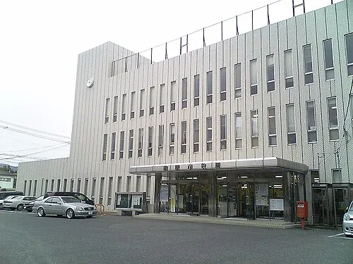 Maebaru-chūō Town, Itoshima-shi15 km S
-
 Jōnan-ku Municipality, Fukuoka City20 km SE
-
 Hakata Municipality, Fukuoka City23 km SE
-
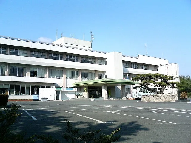 Shingū Town, Shingū-machi19 km E
Nearby attractions & nature
Everything nearby-
Shika Island Island, Higashi Ku6.6 km E
-
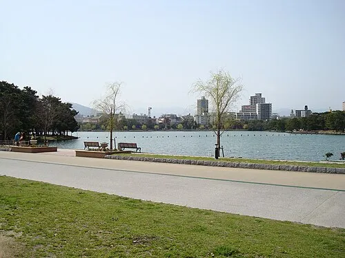 Ōhori Park Natural site, Chūō-ku18 km SE
-
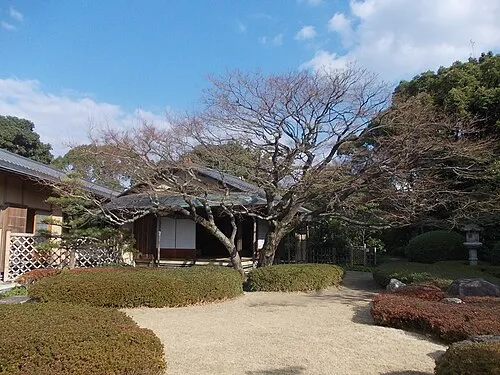 Shōfū-en Natural site, Chūō-ku20 km SE
-
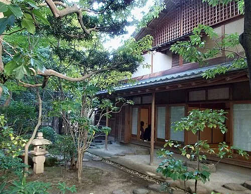 Rakusui-en Natural site, Hakata20 km SE
-
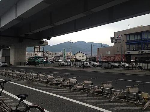 Mt. Abura Mountain, Minami23 km SE
-
 Aino-Island Island, Shingū-machi15 km NE
-
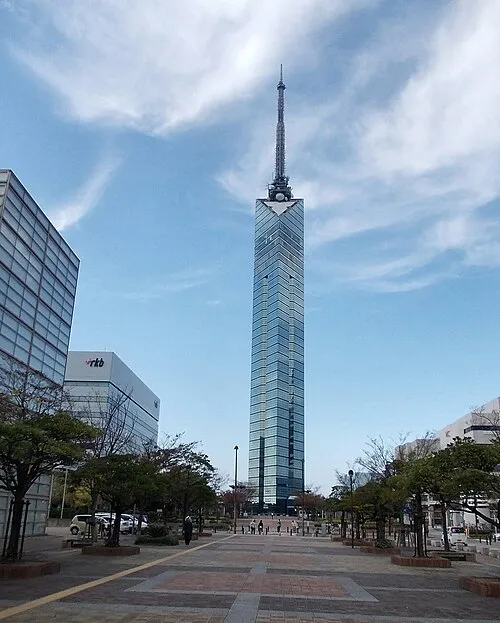 Fukuoka Tower Landmark, Sawara15 km SE
-
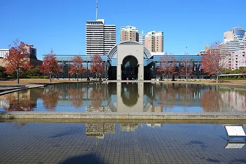 Fukuoka City Museum Museum, Sawara16 km SE
Sources & licences
Data last updated: · 2 independent sources