Noto Hantō
Local name: 能登半島
Located in Ishikawa, Japan Coordinates: 37°20′00″ N 137°00′00″ E

- Elevation
- 237 m
- above sea level
- Local time
- UTC+09:00
- Asia/Tokyo · UTC+09:00
- Airports
- NTQ Noto Satoyama Airport6 km
- TOY Toyama Kitokito Airport78 km
About Noto Hantō
Noto Hantō is a natural site. Location: Ishikawa, Japan.
The Noto Peninsula (能登半島, Noto-hantō) is a peninsula that projects north into the Sea of Japan from the coast of Ishikawa Prefecture in central Honshū, the main island of Japan. Before the Meiji era, the peninsula belonged to Noto Province. The main industries of the peninsula are agriculture, fisheries, and tourism.
Read more on Wikipedia Text: Wikipedia contributors · CC BY-SA 4.0 · shortened
At a glance
- Length
- 100 km
Source: Wikidata
Climate of Noto Hantō
Best months for sightseeingBest months for sightseeing: May–July, September.
Bars: average monthly low and high temperature. Below: precipitation. Monthly averages for 1970–2000 at about 18 km resolution, adjusted for elevation. Highlighted months are mild and relatively dry. Source: WorldClim 2.1 (CC BY 4.0).
Show values as a table
| Month | Jan | Feb | Mar | Apr | May | Jun | Jul | Aug | Sep | Oct | Nov | Dec |
|---|---|---|---|---|---|---|---|---|---|---|---|---|
| Average high (°C) | 4° | 4° | 8° | 14° | 19° | 22° | 26° | 28° | 24° | 18° | 13° | 7° |
| Average low (°C) | -2° | -2° | 0° | 5° | 10° | 15° | 19° | 20° | 16° | 10° | 5° | 1° |
| Precipitation (mm) | 224 | 155 | 130 | 116 | 124 | 162 | 191 | 164 | 237 | 165 | 220 | 245 |
Other places to visit in this season: May June July September
Airports nearest to Noto Hantō
- Noto Satoyama Airport (NTQ) Wajima 6 km
- Toyama Kitokito Airport (TOY) Toyama 78 km
- Komatsu Airport / JASDF Komatsu Air Base (KMQ) Kanazawa 117 km
Straight-line distance; airports with scheduled flights only. Source: OurAirports (public domain).
Nearest towns and villages
Nearby attractions & nature
Everything nearby-
 Mitsuke Jima Island, Ishikawa23 km E
-
 Noto Jima Island, Ishikawa23 km S
-
Mount Koizumi Natural site, Nanao Shi25 km S
More nature in Japan
-
Mount Sekidō Mountain, Nakanoto Machi41 km S
-
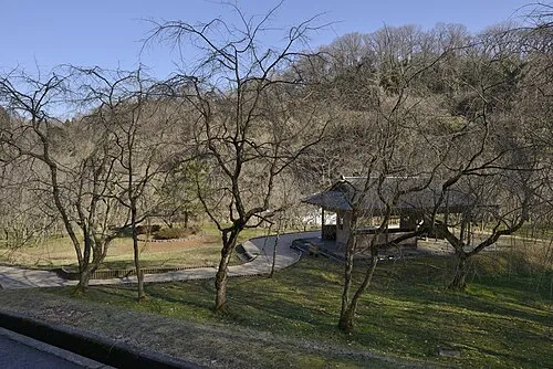 Mount Utatsu Mountain, Kanazawa89 km S
-
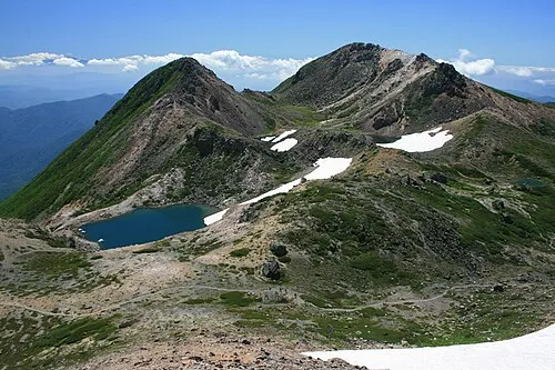 Haku-san Mountain, Hakusan Shi131 km S
Sources & licences
Data last updated: · 2 independent sources