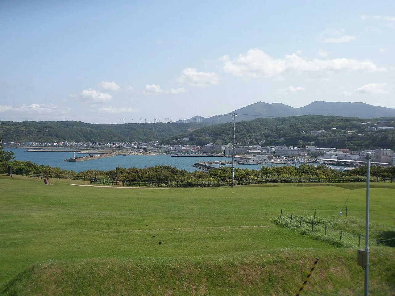
- Elevation
- 6 m
- above sea level
- Local time
- UTC+09:00
- Asia/Tokyo · UTC+09:00
- Airports
- HKD Hakodate Airport60 km
- OIR Okushiri Airport61 km
About Kamome Island
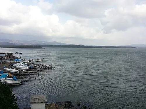
Kamome Island is an island. Location: Japan.
Kamome Island (鷗島, Kamome Jima) is an island (or more precisely, peninsula) in the Sea of Japan just off the coast of the town of Esashi, Hokkaidō, Japan. The island serves as a breakwater for the Esashi port. It has several historical sites and is protected as a part of the Hiyama Prefectural Natural Park. Every July, there is a two-day festival that attracts tourists to the island. People visit the island throughout the year for swimming, camping, fishing and other recreational activities.
Read more on Wikipedia Text: Wikipedia contributors · CC BY-SA 4.0 · shortened
Climate of Kamome Island
Best months for sightseeingBest months for sightseeing: June–September.
Bars: average monthly low and high temperature. Below: precipitation. Monthly averages for 1970–2000 at about 18 km resolution, adjusted for elevation. Highlighted months are mild and relatively dry. Source: WorldClim 2.1 (CC BY 4.0).
Show values as a table
| Month | Jan | Feb | Mar | Apr | May | Jun | Jul | Aug | Sep | Oct | Nov | Dec |
|---|---|---|---|---|---|---|---|---|---|---|---|---|
| Average high (°C) | 1° | 1° | 5° | 11° | 15° | 19° | 23° | 25° | 22° | 17° | 10° | 4° |
| Average low (°C) | -4° | -4° | -1° | 4° | 8° | 13° | 17° | 19° | 16° | 9° | 3° | -2° |
| Precipitation (mm) | 96 | 72 | 71 | 82 | 85 | 87 | 133 | 142 | 156 | 109 | 108 | 98 |
Other places to visit in this season: June July August September
Airports nearest to Kamome Island
- Hakodate Airport (HKD) Hakodate 60 km
- Okushiri Airport (OIR) Okushiri Island 61 km
- Aomori Airport (AOJ) Aomori 135 km
Straight-line distance; airports with scheduled flights only. Source: OurAirports (public domain).
Nearest towns and villages
-
Esashi Town, Esashi Chō1.3 km SE
-
Esashi Chō Municipality, Hiyama-gun5.6 km E
-
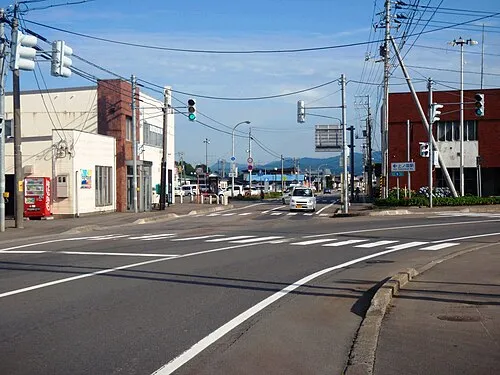 Kaminokuni Town, Kaminokuni Chō7.3 km S
-
Otobe Village, Otobe Chō11 km N
-
Kaminokuni Chō Municipality, Hiyama-gun18 km S
-
Otobe Chō Municipality, Nishi-gun18 km N
More lakes, rivers and coasts in Japan
-
Amanogawa River River, Hokkaido7 km S
-
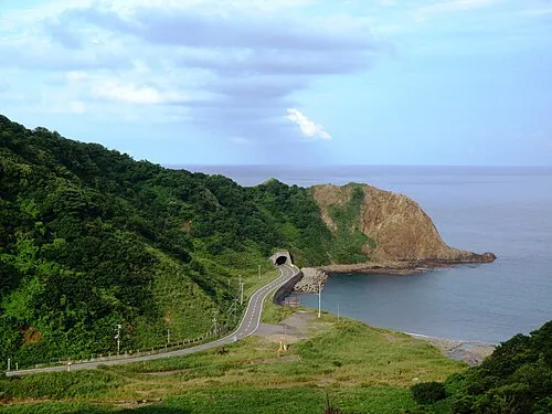 Okushiri Island Island, Okushiri Chō62 km NW
-
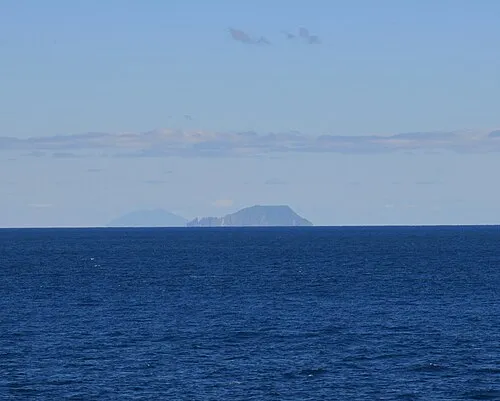 Kojima Island Island, Hokkaido62 km SW
-
Shiribeshi-Toshibetsu River River, Japan65 km N
-
 Matsumae Ōshima Island, Hokkaido74 km SW
-
 Lake Jūsan Lake, Aomori95 km S
Sources & licences
Data last updated: · 2 independent sources