- Elevation
- 0 m
- above sea level
- Local time
- UTC+09:00
- Asia/Tokyo · UTC+09:00
- Airports
- OIR Okushiri Airport52 km
- HKD Hakodate Airport108 km
About Shiribeshi-Toshibetsu River
Shiribeshi-Toshibetsu River is a river. Location: Japan.
The Shiribeshi-Toshibetsu River (後志利別川, Shiribeshi-Toshibetsu-gawa) is a Class A river in Hokkaidō, Japan. It flows through Hiyama District, and empties into the Sea of Japan. It is the only Class A river in Southern Hokkaidō, and thus is considered to be extremely important for agriculture and flood control. The river was voted the "Cleanest River in Japan" by the Ministry of Land, Infrastructure, Transport and Tourism (MLIT) 10 times between 1987 and 2006.
Read more on Wikipedia Text: Wikipedia contributors · CC BY-SA 4.0 · shortened
At a glance
- Length
- 80 km
Source: Wikidata
Climate of Shiribeshi-Toshibetsu River
Best months for sightseeingBest months for sightseeing: June–September.
Bars: average monthly low and high temperature. Below: precipitation. Monthly averages for 1970–2000 at about 18 km resolution, adjusted for elevation. Highlighted months are mild and relatively dry. Source: WorldClim 2.1 (CC BY 4.0).
Show values as a table
| Month | Jan | Feb | Mar | Apr | May | Jun | Jul | Aug | Sep | Oct | Nov | Dec |
|---|---|---|---|---|---|---|---|---|---|---|---|---|
| Average high (°C) | -2° | -1° | 3° | 11° | 15° | 19° | 23° | 25° | 22° | 16° | 9° | 2° |
| Average low (°C) | -6° | -5° | -1° | 4° | 8° | 13° | 18° | 20° | 16° | 9° | 3° | -3° |
| Precipitation (mm) | 98 | 76 | 72 | 79 | 79 | 83 | 122 | 133 | 154 | 117 | 112 | 97 |
Other places to visit in this season: June July August September
Airports nearest to Shiribeshi-Toshibetsu River
- Okushiri Airport (OIR) Okushiri Island 52 km
- Hakodate Airport (HKD) Hakodate 108 km
- Sapporo Okadama Airport (OKD) Sapporo 147 km
Straight-line distance; airports with scheduled flights only. Source: OurAirports (public domain).
Nearest towns and villages
-
Setana Town, Setana Chō3.2 km N
-
Setana Chō Municipality, Kudō-gun6.1 km SE
-
Imakane Chō Municipality, Setana-gun20 km E
-
Okushiri Chō Municipality, Okushiri-gun43 km SW
-
Yakumo Chō Municipality, Futami-gun39 km SE
-
Shimamaki-mura Municipality, Shimamaki36 km NE
More lakes, rivers and coasts in Japan
-
Makomanai-gawa River, Japan2.9 km SE
-
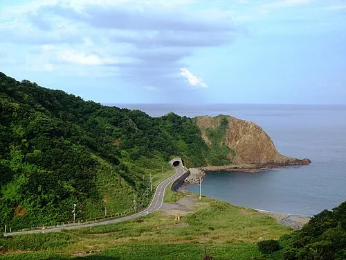 Okushiri Island Island, Okushiri Chō43 km SW
-
Shiribetsu River River, Hokkaido66 km NE
-
Amanogawa River River, Hokkaido72 km S
-
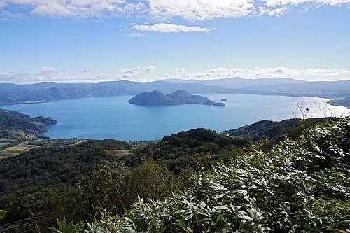 Toya Lake Lake, Hokkaido86 km E
-
 Matsumae Ōshima Island, Hokkaido109 km S
Sources & licences
Data last updated: · 2 independent sources