- Elevation
- 14 m
- above sea level
- Local time
- UTC+09:00
- Asia/Tokyo · UTC+09:00
- Airports
- OIR Okushiri Airport51 km
- HKD Hakodate Airport106 km
About Makomanai-gawa
Makomanai-gawa is a river. Location: Japan.
Makomanai River (真駒内川, Makomanai-gawa) is a tributary of the Toyohira River in Sapporo, Hokkaidō, Japan. It has a length of 21 kilometres (13 mi) and has a watershed of 37 square kilometres (14 mi2). Flowing from Bankei Pond (万計沼, Bankei Numa) in the mountains, the Makomanai River's upper course is called Bankei River (万計沢川, Bankeisawa-gawa), too. Its middle course flows through a narrow valley about 200 metres (660 ft) wide in the Tokiwa (常盤) area.
Read more on Wikipedia Text: Wikipedia contributors · CC BY-SA 4.0 · shortened
At a glance
- Length
- 21 km
Source: Wikidata
Climate of Makomanai-gawa
Best months for sightseeingBest months for sightseeing: June–September.
Bars: average monthly low and high temperature. Below: precipitation. Monthly averages for 1970–2000 at about 18 km resolution, adjusted for elevation. Highlighted months are mild and relatively dry. Source: WorldClim 2.1 (CC BY 4.0).
Show values as a table
| Month | Jan | Feb | Mar | Apr | May | Jun | Jul | Aug | Sep | Oct | Nov | Dec |
|---|---|---|---|---|---|---|---|---|---|---|---|---|
| Average high (°C) | -2° | -1° | 3° | 11° | 15° | 19° | 23° | 25° | 22° | 16° | 8° | 2° |
| Average low (°C) | -6° | -5° | -2° | 4° | 8° | 13° | 18° | 20° | 16° | 9° | 3° | -3° |
| Precipitation (mm) | 98 | 76 | 72 | 79 | 79 | 83 | 122 | 133 | 154 | 117 | 112 | 97 |
Other places to visit in this season: June July August September
Airports nearest to Makomanai-gawa
- Okushiri Airport (OIR) Okushiri Island 51 km
- Hakodate Airport (HKD) Hakodate 106 km
- Sapporo Okadama Airport (OKD) Sapporo 147 km
Straight-line distance; airports with scheduled flights only. Source: OurAirports (public domain).
Nearest towns and villages
-
Setana Chō Municipality, Kudō-gun3.4 km SE
-
Setana Town, Setana Chō5.8 km N
-
Imakane Chō Municipality, Setana-gun19 km E
-
Yakumo Chō Municipality, Futami-gun36 km SE
-
Okushiri Chō Municipality, Okushiri-gun42 km SW
-
Yakumo Town, Yakumo Chō37 km SE
More lakes, rivers and coasts in Japan
-
Shiribeshi-Toshibetsu River River, Japan2.9 km NW
-
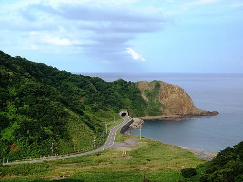 Okushiri Island Island, Okushiri Chō42 km SW
-
Shiribetsu River River, Hokkaido67 km NE
-
Amanogawa River River, Hokkaido69 km S
-
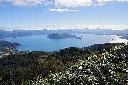 Toya Lake Lake, Hokkaido86 km E
-
 Matsumae Ōshima Island, Hokkaido107 km SW
Sources & licences
Data last updated: · 2 independent sources